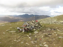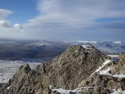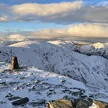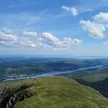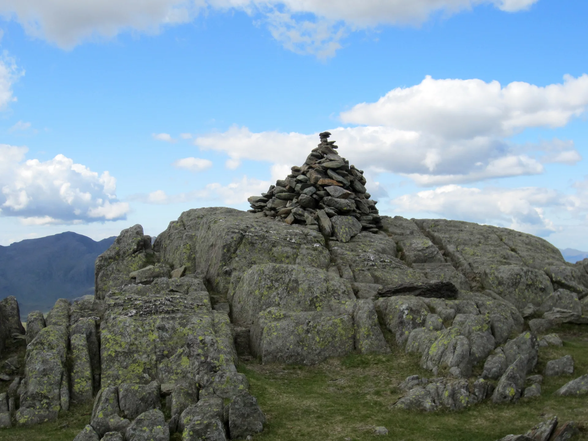


Grey Friar stands a little off the main Coniston ridge, forming the eastern wall of the Duddon Valley, and all its water drains west into the Duddon. The stony top has two cairned outcrops, and about 200 m north-west is a pointed rock often called the Matterhorn Rock. Copper was mined on its slopes in the mid-1800s, and the summit gives a good view of the Scafells.
New to the Wainwrights?Read our guide: What Are The Wainwrights?South-east cairn
Volcanic rock, with long rough slopes dotted with small crags to the north and west.
HewittNuttallBirkettSyngeFellrangerSimm
Summit Weather
Our Route
Also on this route: Coniston Old Man, Swirl How, Brim Fell, Great Carrs, Dow Crag, Wetherlam
Safety: Routes are a guide only. Carry a map and compass and know how to use them, check the weather before you go, and turn back if in doubt. You use this route at your own risk.