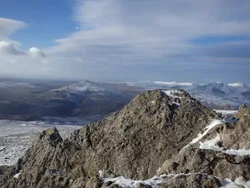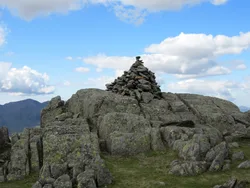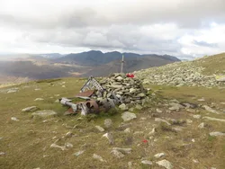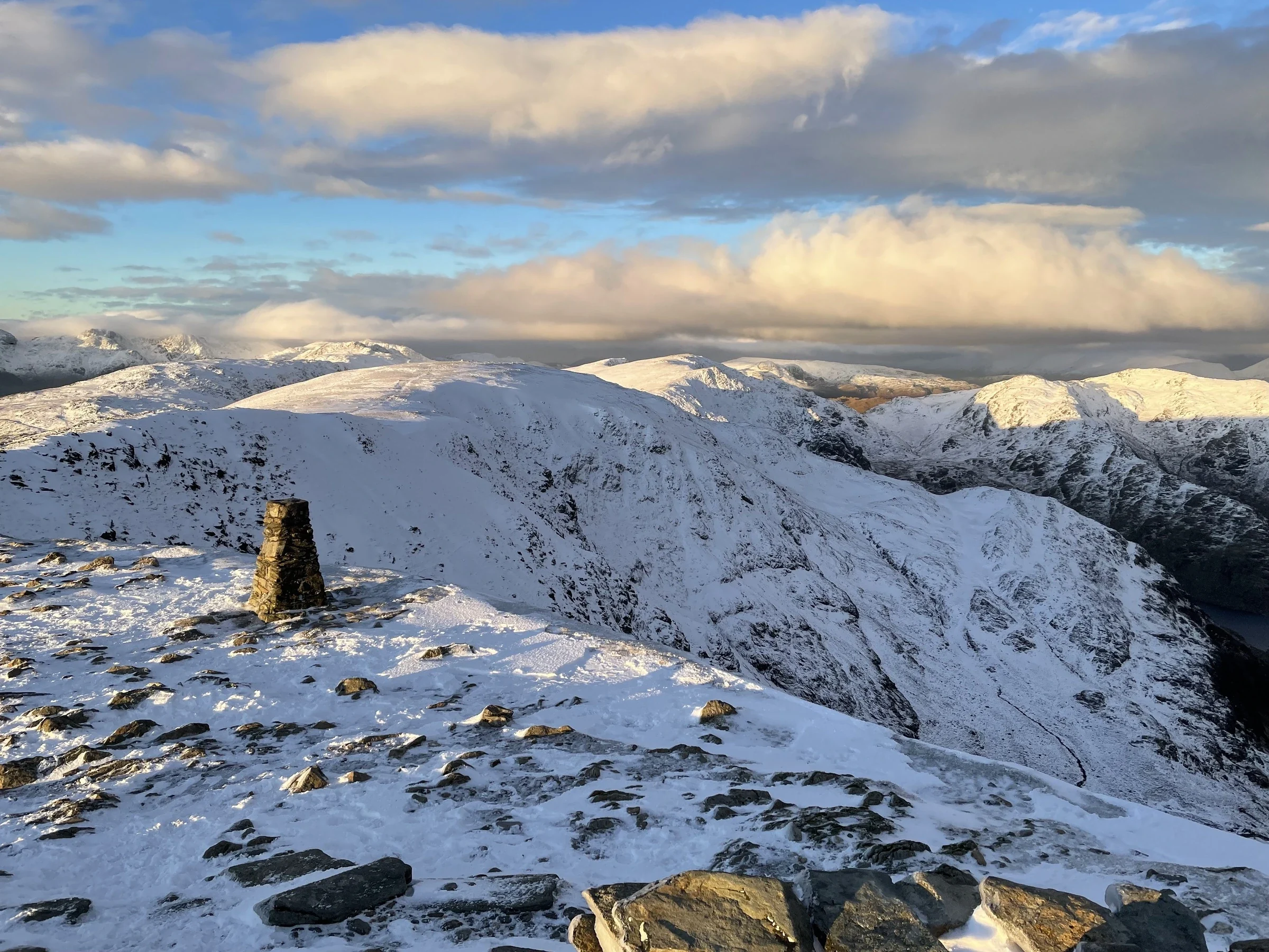

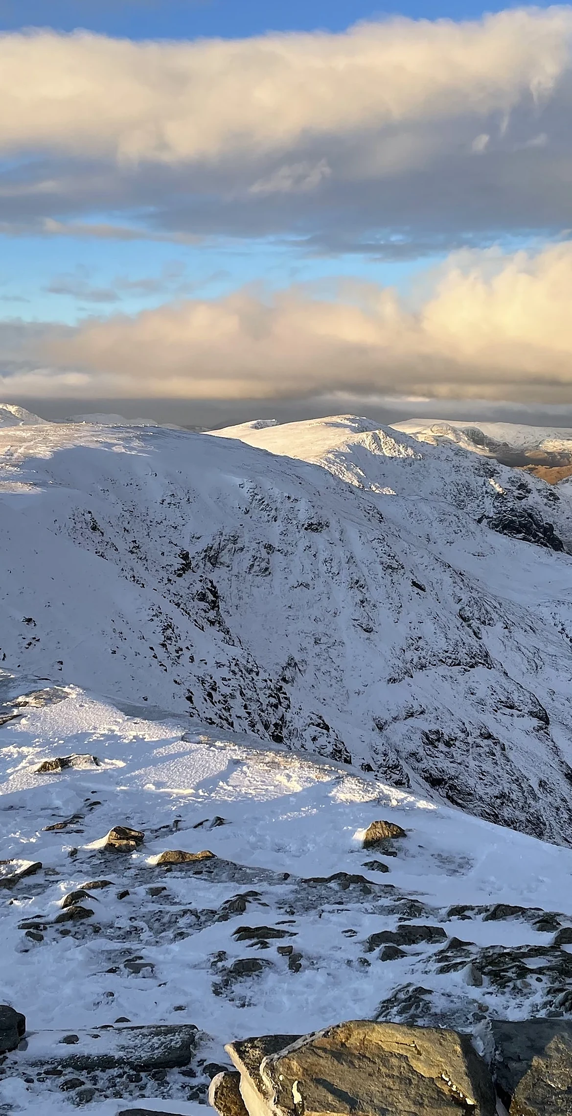


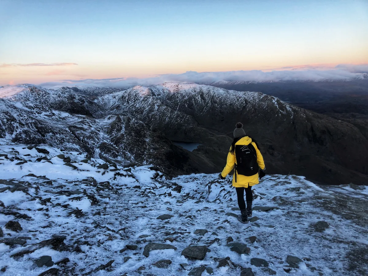
The Old Man of Coniston was the highest point of historic Lancashire, and its top has a slate platform, a trig point and a cairn. Its slopes have been worked for centuries, with slate quarried since at least the 1500s and copper, nickel and cobalt mined in the Coppermines Valley, especially in the late 1800s. Low Water sits in a corrie below the summit, and on a clear day you can see Morecambe Bay, Blackpool Tower and the Isle of Man.
New to the Wainwrights?Read our guide: What Are The Wainwrights?Cairn 12 m south-east of trig point
Borrowdale volcanic tuffs and sandstones, scarred by old slate quarries and mine workings.
HewittNuttallBirkettSyngeFellrangerMarilynSimmCounty Top
Summit Weather
Our Route
Also on this route: Swirl How, Brim Fell, Great Carrs, Dow Crag, Grey Friar, Wetherlam
Safety: Routes are a guide only. Carry a map and compass and know how to use them, check the weather before you go, and turn back if in doubt. You use this route at your own risk.