


Hill data: The Database of British and Irish Hills v18.6 (CC BY 4.0)Height551 m1,808 ft
Grid RefSK 035 706
OS MapOL24OS Explorer
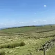
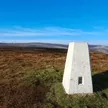
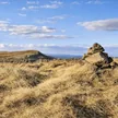
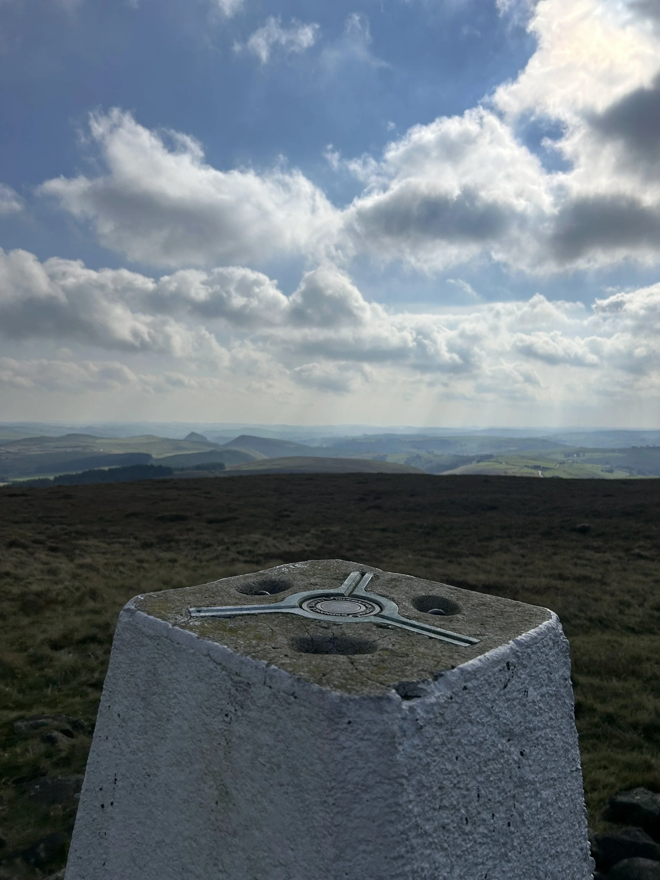
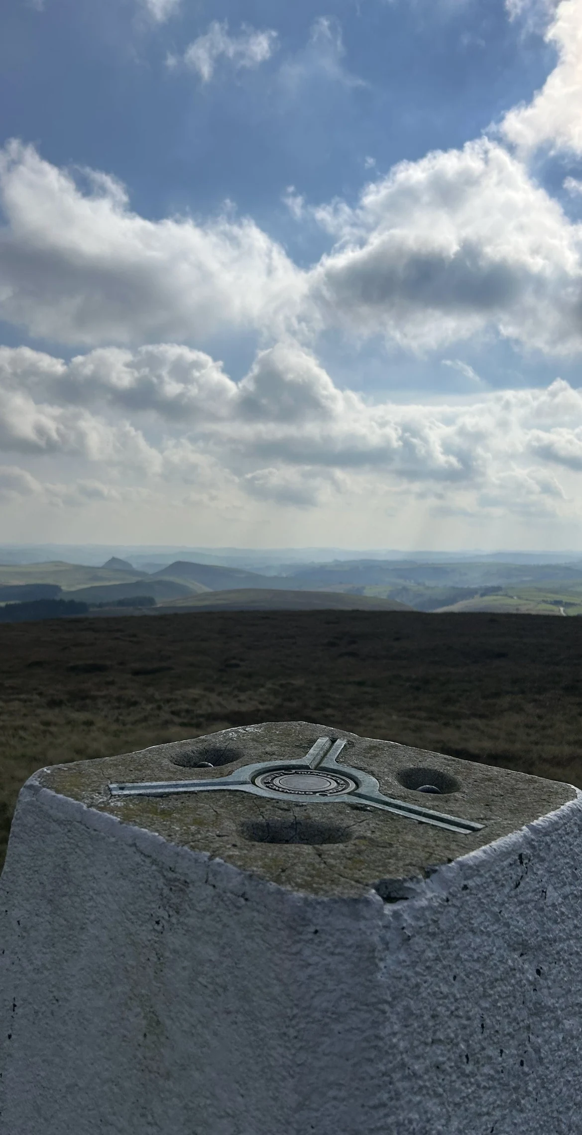
Five rivers start life on Axe Edge Moor: the Dove, Manifold, Dane, Wye and Goyt all rise on its wet slopes south-west of Buxton. The highest point carries a trig point perched on a built-up mound of stones, just above the A53. Below, the Dane runs down to Three Shire Heads, where Cheshire, Derbyshire and Staffordshire meet.
New to the Ethels?Read our guide: What Are The Peak District Ethels?Summit
Trig point
Rock & Ground
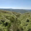
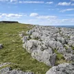
Namurian gritstone and shale under rough grass, rushes and peat bog.
Also On These Lists
Dewey
Summit Weather
Our Route
Distance9.2 mi14.9 km
Ascent360 m1,180 ft
Time4h 40mwalking
Start & FinishSK 0178 7157Circular route, back to the same spot
DirectionsAlso on this route: Cheeks Hill
Safety: Routes are a guide only. Carry a map and compass and know how to use them, check the weather before you go, and turn back if in doubt. You use this route at your own risk.