


Hill data: The Database of British and Irish Hills v18.6 (CC BY 4.0)Height500.2 m1,641 ft
Grid RefSK 029 732
OS MapOL24OS Explorer
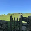
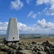
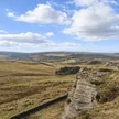
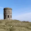
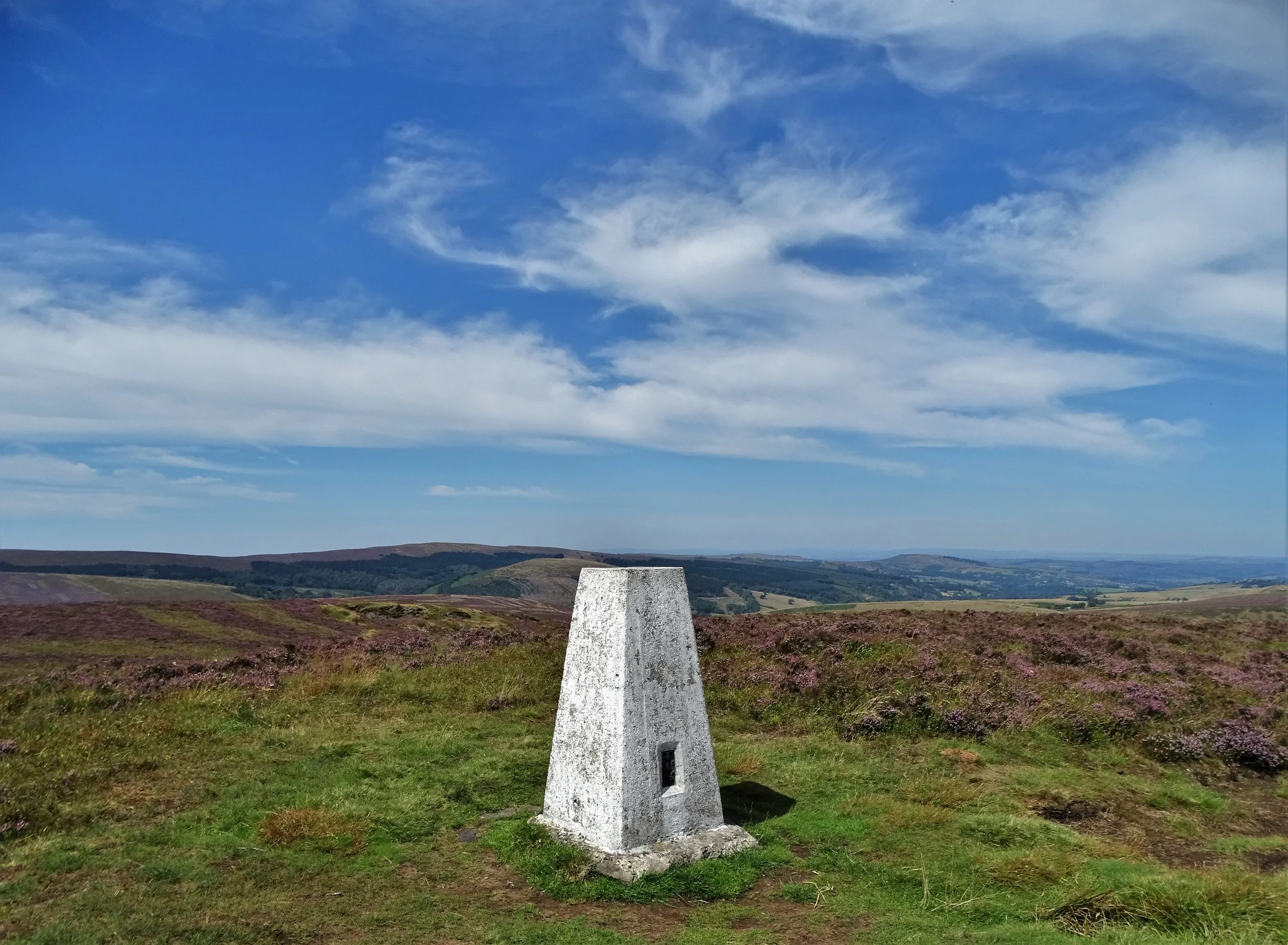
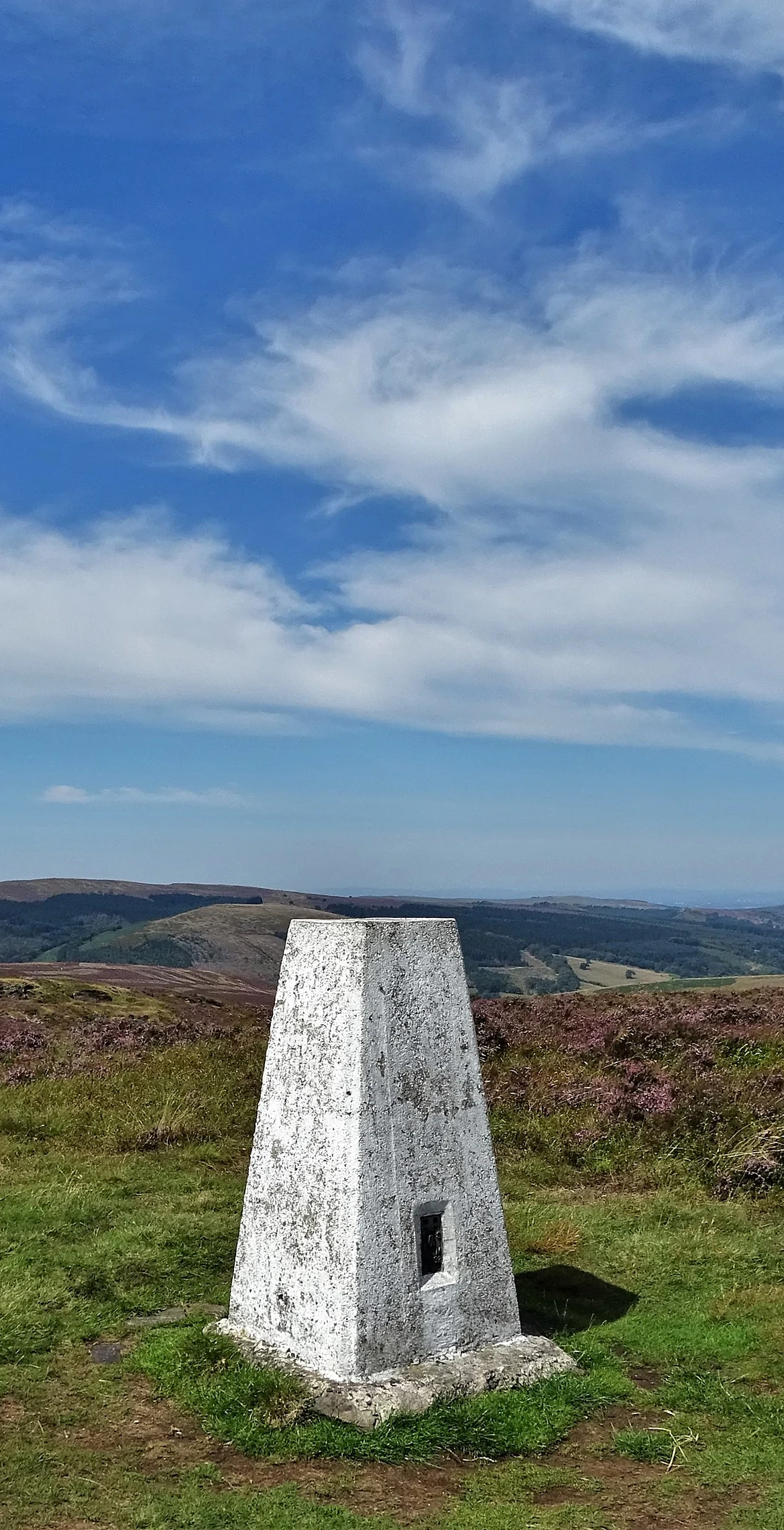
Burbage Edge is the gritstone ridge above Buxton's Burbage district, with a trig pillar near the top and the National Park boundary running right across it. The ridge is a watershed, sending rain west to the Goyt and the Mersey or east to the Wye and the Trent. Beneath it ran a tunnel on the Cromford and High Peak Railway, abandoned in the 1890s, and the edge has seen two air crashes in mist, in 1934 and 1943.
New to the Ethels?Read our guide: What Are The Peak District Ethels?Summit
Ground 15 m south of trig pillar
Rock & Ground
Gritstone escarpment with heather and grass moor, the western rim of the Derbyshire Dome.
Summit Weather
Our Route
Distance8.5 mi13.7 km
Ascent470 m1,540 ft
Time4h 15mwalking
Start & FinishSK 0487 7200Circular route, back to the same spot
DirectionsSafety: Routes are a guide only. Carry a map and compass and know how to use them, check the weather before you go, and turn back if in doubt. You use this route at your own risk.