

Hill data: The Database of British and Irish Hills v18.6 (CC BY 4.0)Height547 m1,795 ft
Grid RefSK 001 708
OS MapOL24OS Explorer
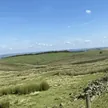
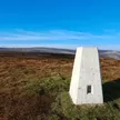
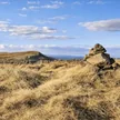
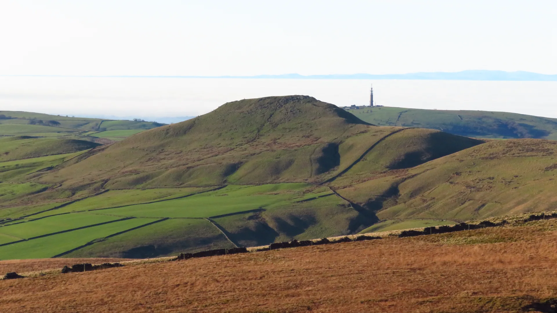
Whetstone Ridge is a broad moorland ridge just south of the Cat and Fiddle, on the high ground between Macclesfield and Buxton. Its top is an unmarked patch of grass, so flat that ground 30 m away is almost as high. It's one of the highest points in Cheshire, and the young River Dane runs below it to the east past the abandoned Danebower quarries.
New to the Ethels?Read our guide: What Are The Peak District Ethels?Summit
No marker: grass
Rock & Ground
Flat, tussocky moorland of grass, heather and peat on gritstone.
Also On These Lists
Dewey
Summit Weather
Our Route
Distance7.1 mi11.4 km
Ascent330 m1,080 ft
Time3h 30mwalking
Start & FinishSK 0008 7188Circular route, back to the same spot
DirectionsSafety: Routes are a guide only. Carry a map and compass and know how to use them, check the weather before you go, and turn back if in doubt. You use this route at your own risk.