


Hill data: The Database of British and Irish Hills v18.6 (CC BY 4.0)Height521.7 m1,712 ft
Grid RefSK 026 699
OS MapOL24OS Explorer
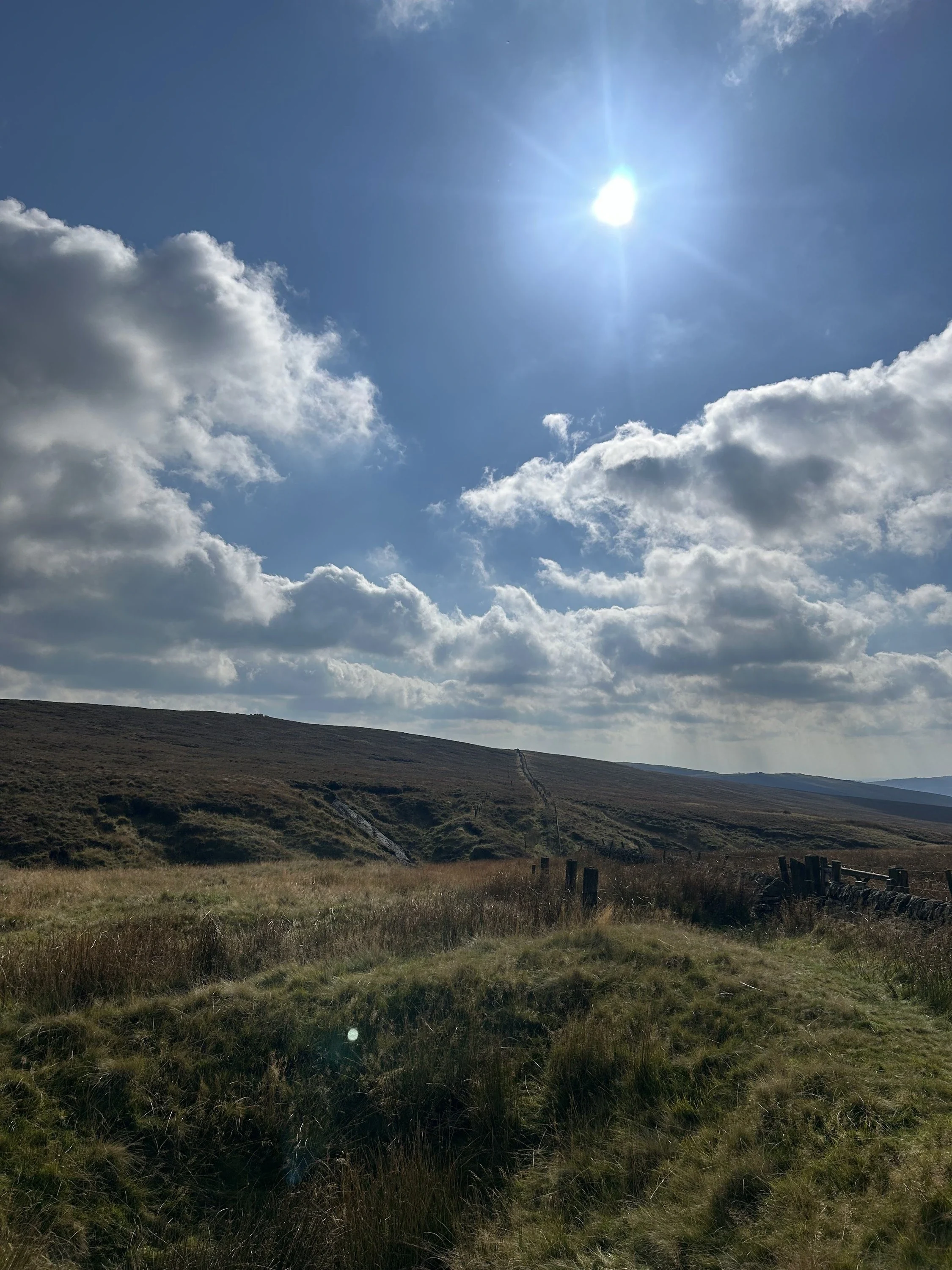
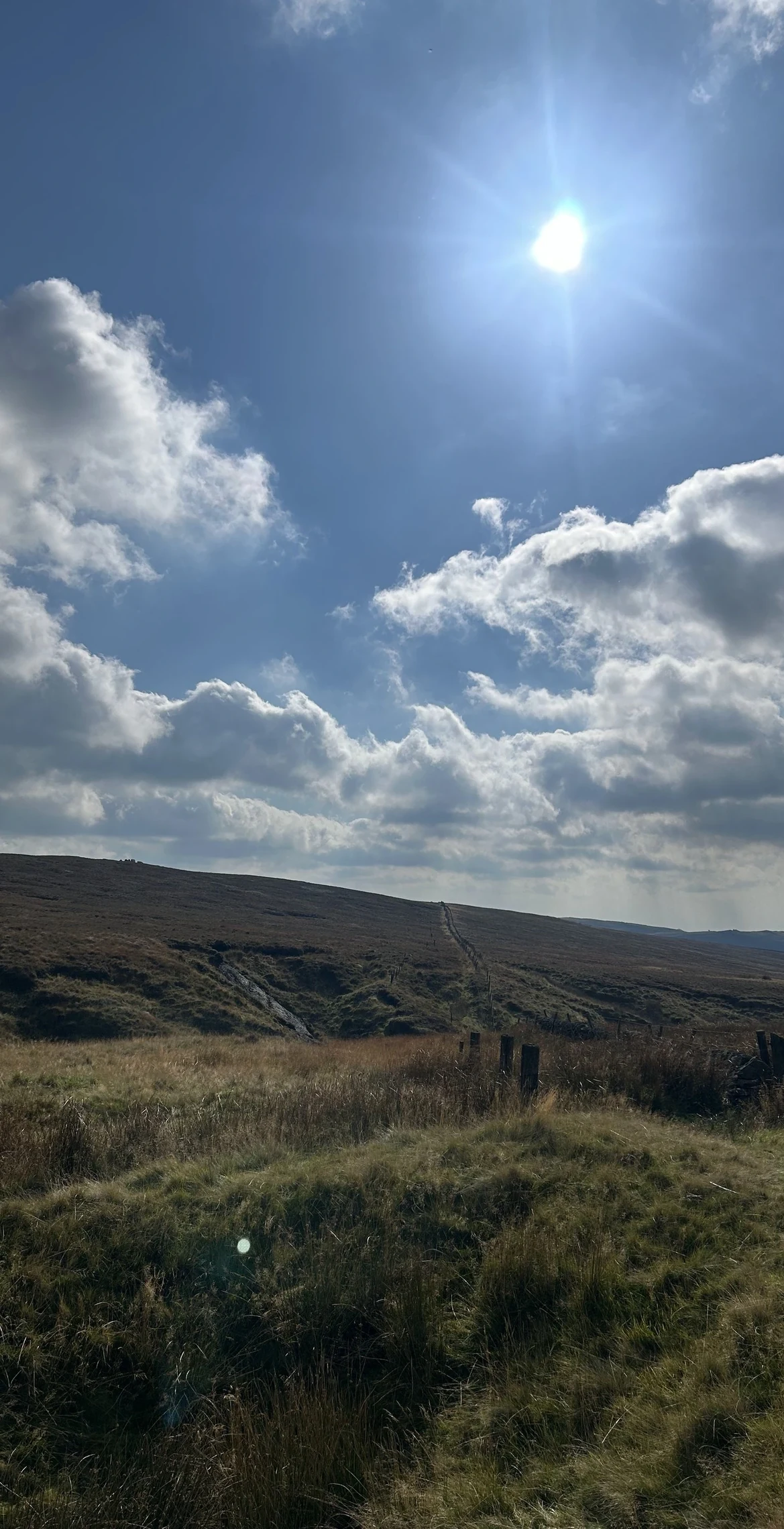
Cheeks Hill is a quiet top on Axe Edge Moor, just south of the Cat and Fiddle road. Its summit has no marker, but a drystone wall a few steps to the south-west marks the Derbyshire and Staffordshire border, and the ground just over it is Staffordshire's highest point. On the Derbyshire side, Dane Head is where the River Dane begins.
New to the Ethels?Read our guide: What Are The Peak District Ethels?Summit
No feature
Rock & Ground
Grassy and boggy gritstone moorland crossed by a county boundary wall.
Summit Weather
Our Route
Distance9.2 mi14.9 km
Ascent360 m1,180 ft
Time4h 40mwalking
Start & FinishSK 0178 7157Circular route, back to the same spot
DirectionsAlso on this route: Axe Edge Moor
Safety: Routes are a guide only. Carry a map and compass and know how to use them, check the weather before you go, and turn back if in doubt. You use this route at your own risk.