

Hill data: The Database of British and Irish Hills v18.6 (CC BY 4.0)Height506.7 m1,662 ft
Grid RefSK 062 771
OS MapOL24OS Explorer
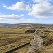
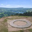
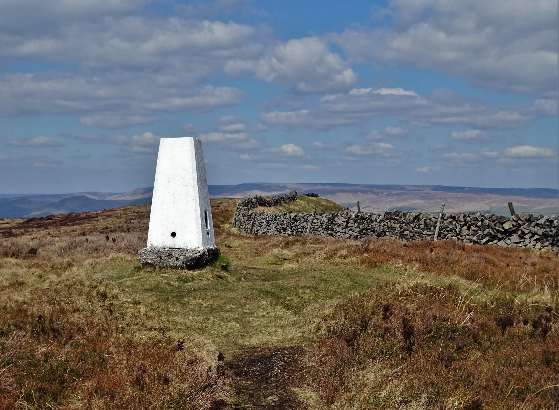
Black Edge is the eastern rim of Combs Moss, a high gritstone plateau between Chapel-en-le-Frith and Buxton, looking down over Dove Holes. The highest ground is a spot by the path and wall, a short way north of the trig point. At the plateau's northern tip sits Castle Naze, an Iron Age promontory fort guarded by crags on two sides and a double rampart on the third.
New to the Ethels?Read our guide: What Are The Peak District Ethels?Summit
Ground by path and wall 150 m north of trig point
Rock & Ground
Gritstone edges ringing a flat, boggy plateau of heather, grass and peat.
Also On These Lists
Dewey
Summit Weather
Our Route
Distance8.1 mi13.1 km
Ascent460 m1,510 ft
Time4hwalking
Start & FinishSK 0588 7372Circular route, back to the same spot
DirectionsAlso on this route: Combs Head, Corbar Hill
Safety: Routes are a guide only. Carry a map and compass and know how to use them, check the weather before you go, and turn back if in doubt. You use this route at your own risk.