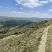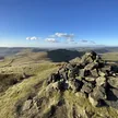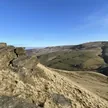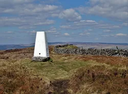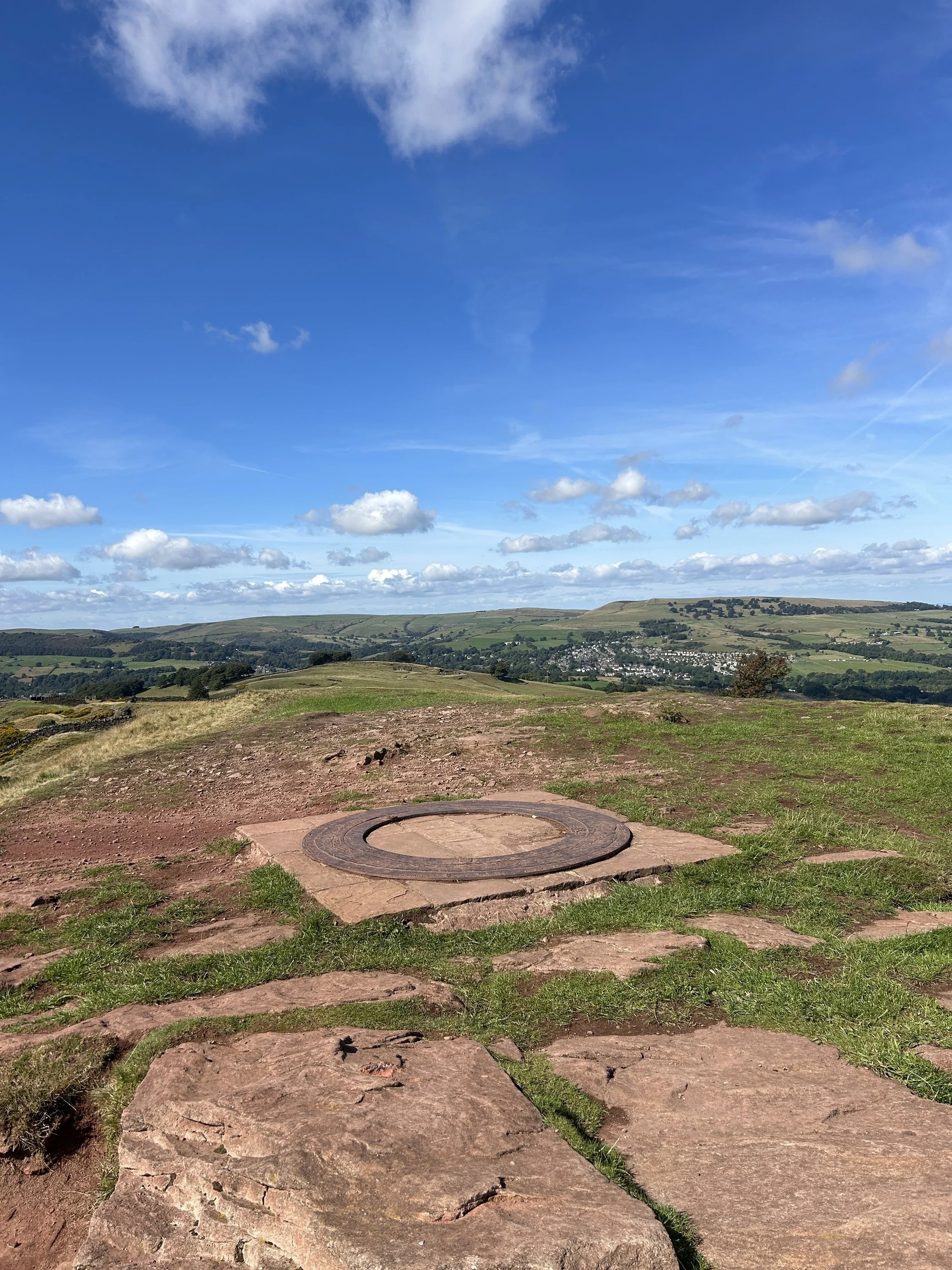

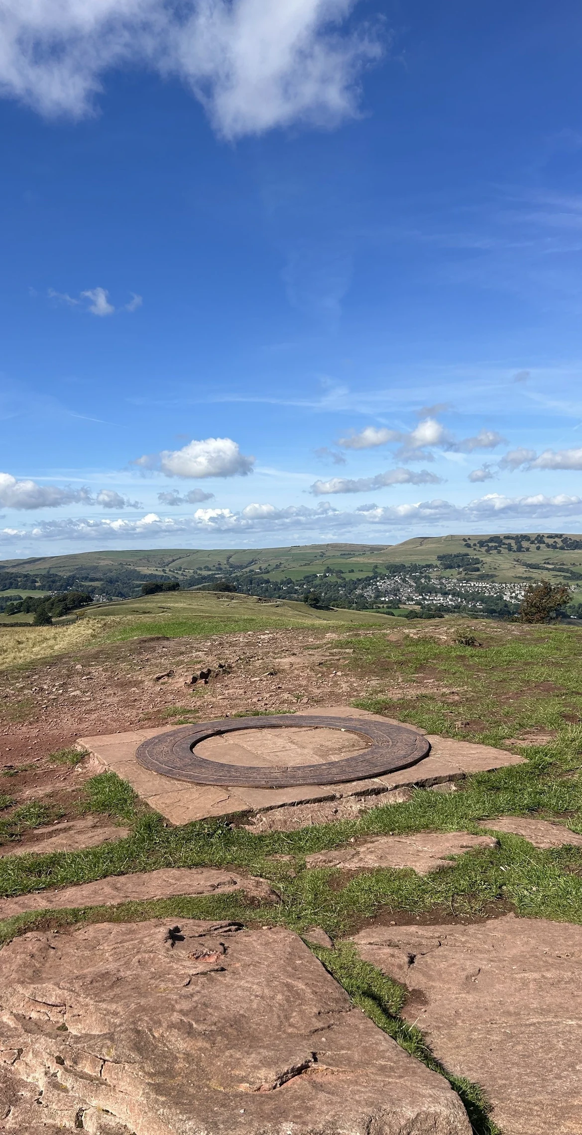


Eccles Pike is a neat, pointed hill between Chapel-en-le-Frith and Whaley Bridge, with Combs Reservoir just below it to the south. The summit is a cluster of gritstone slabs. A topograph put up for the millennium was stolen in 2011, and although a replacement went up in 2013, the indicator has since been removed. 'Pike' means a pointed hill, but nobody knows where 'Eccles' comes from. Its fell race is one of the oldest in the country, going back more than 100 years, and the top looks west to Manchester and east to Kinder Scout.
New to the Ethels?Read our guide: What Are The Peak District Ethels?Angled slab 4 m east of site of indicator
Gritstone that turns pink on the summit, with rocky slabs on top and grassy slopes below.
HuMP
Summit Weather
Our Route
Safety: Routes are a guide only. Carry a map and compass and know how to use them, check the weather before you go, and turn back if in doubt. You use this route at your own risk.