

Hill data: The Database of British and Irish Hills v18.6 (CC BY 4.0)Height503 m1,650 ft
Grid RefSK 040 757
OS MapOL24OS Explorer
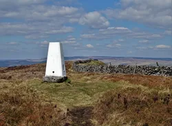
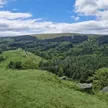
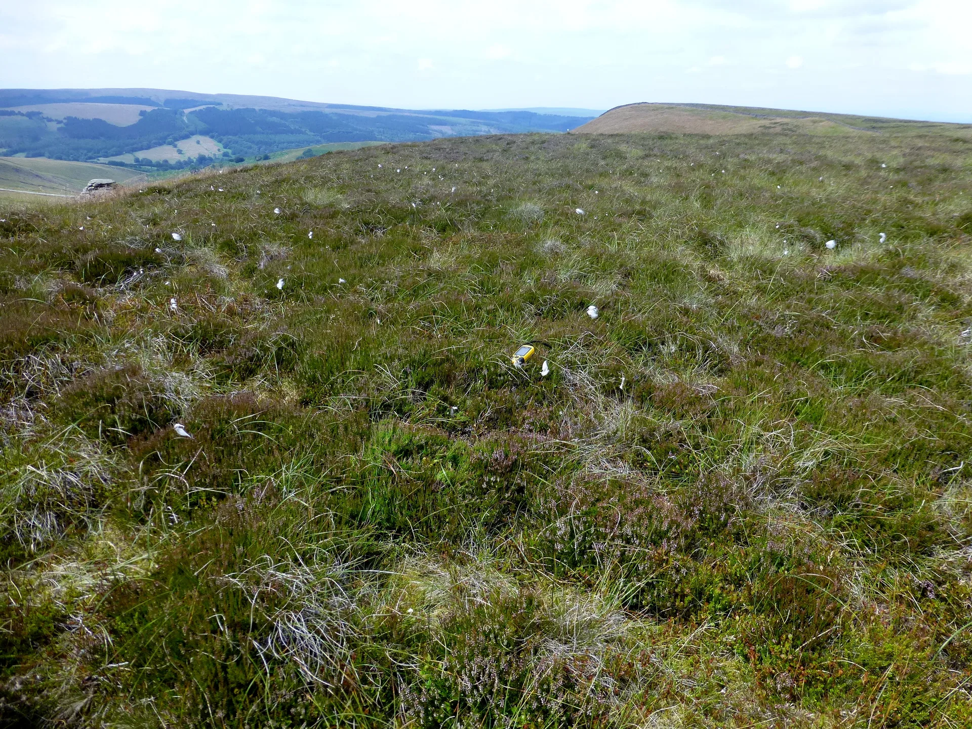
Combs Head is the western top of Combs Moss, a plateau of moorland ringed by gritstone edges between Chapel-en-le-Frith and Buxton. The summit is a large, flat area with no marker. Combs Edge drops away to the west above Combs Reservoir, and at the plateau's northern tip stands Castle Naze, an Iron Age promontory fort.
New to the Ethels?Read our guide: What Are The Peak District Ethels?Summit
No feature
Rock & Ground
Flat, peaty gritstone plateau ringed by rocky edges and outcrops.
Also On These Lists
Dewey
Summit Weather
Our Route
Distance8.1 mi13.1 km
Ascent460 m1,510 ft
Time4hwalking
Start & FinishSK 0588 7372Circular route, back to the same spot
DirectionsAlso on this route: Black Edge (Combs Moss), Corbar Hill
Safety: Routes are a guide only. Carry a map and compass and know how to use them, check the weather before you go, and turn back if in doubt. You use this route at your own risk.