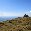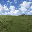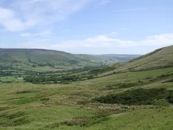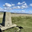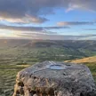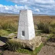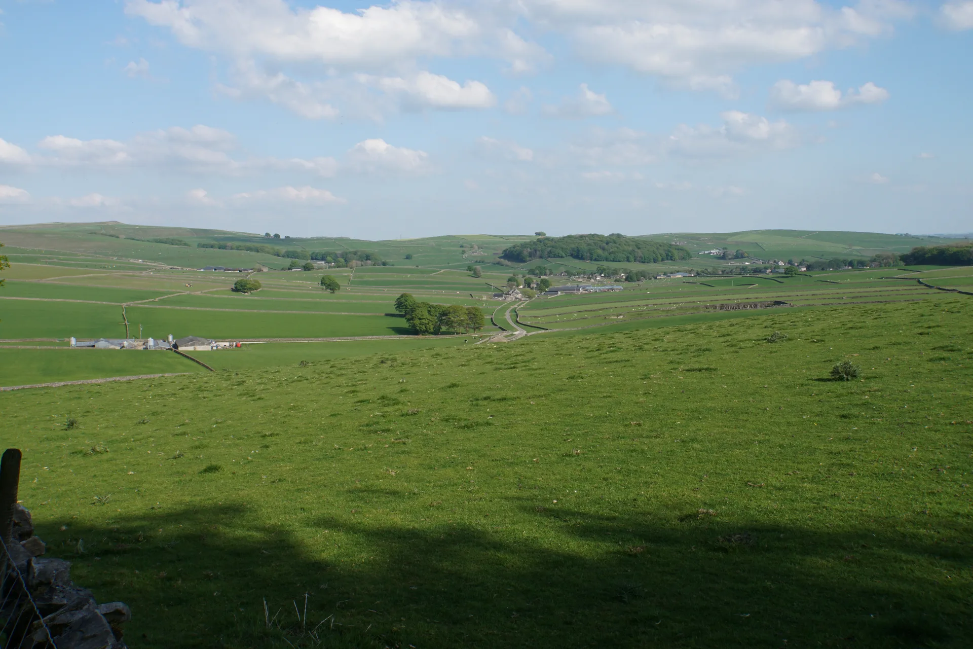


Gautries Hill is a grassy knoll on the limestone plateau north-west of Peak Forest, and its top is a Bronze Age burial mound about 17 m across. When it was dug in 1876, two limestone cists turned up with flints, a bone pin, bones and pieces of a pottery food vessel. From the mound you can see the barrows on Eldon Hill and Snels Low. Close by, Gautries Rake is a line of lead mine workings going back at least to the late 1600s. The summit is on private land.
New to the Ethels?Read our guide: What Are The Peak District Ethels?Knoll
Carboniferous limestone under short grazed grass, with old lead rakes nearby.
Summit Weather
Our Route
Also on this route: Eldon Hill, Lord’s Seat (Rushup Edge), Slitherstone Hill
Safety: Routes are a guide only. Carry a map and compass and know how to use them, check the weather before you go, and turn back if in doubt. You use this route at your own risk.