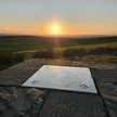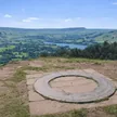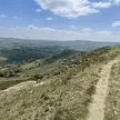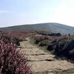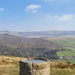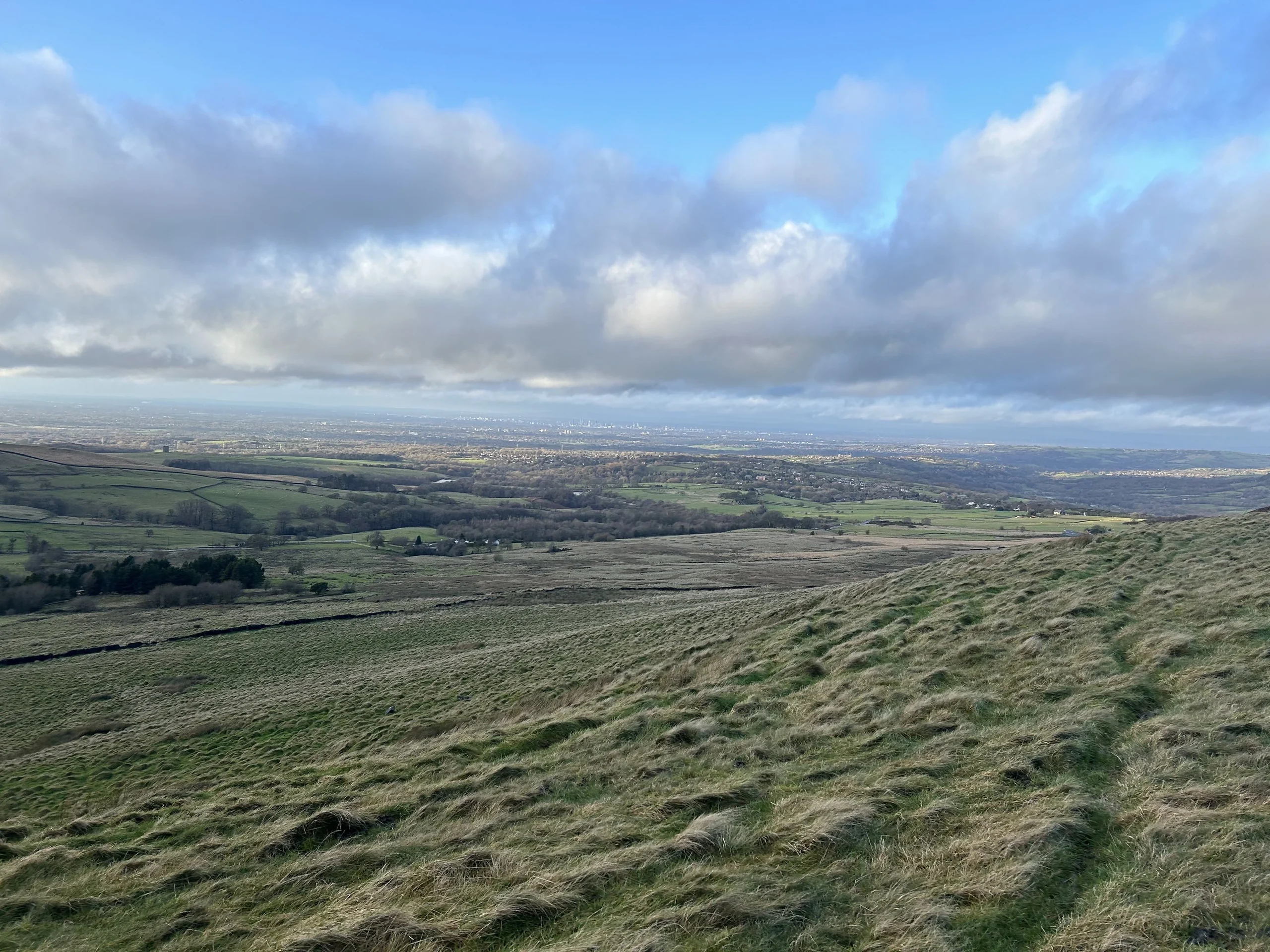

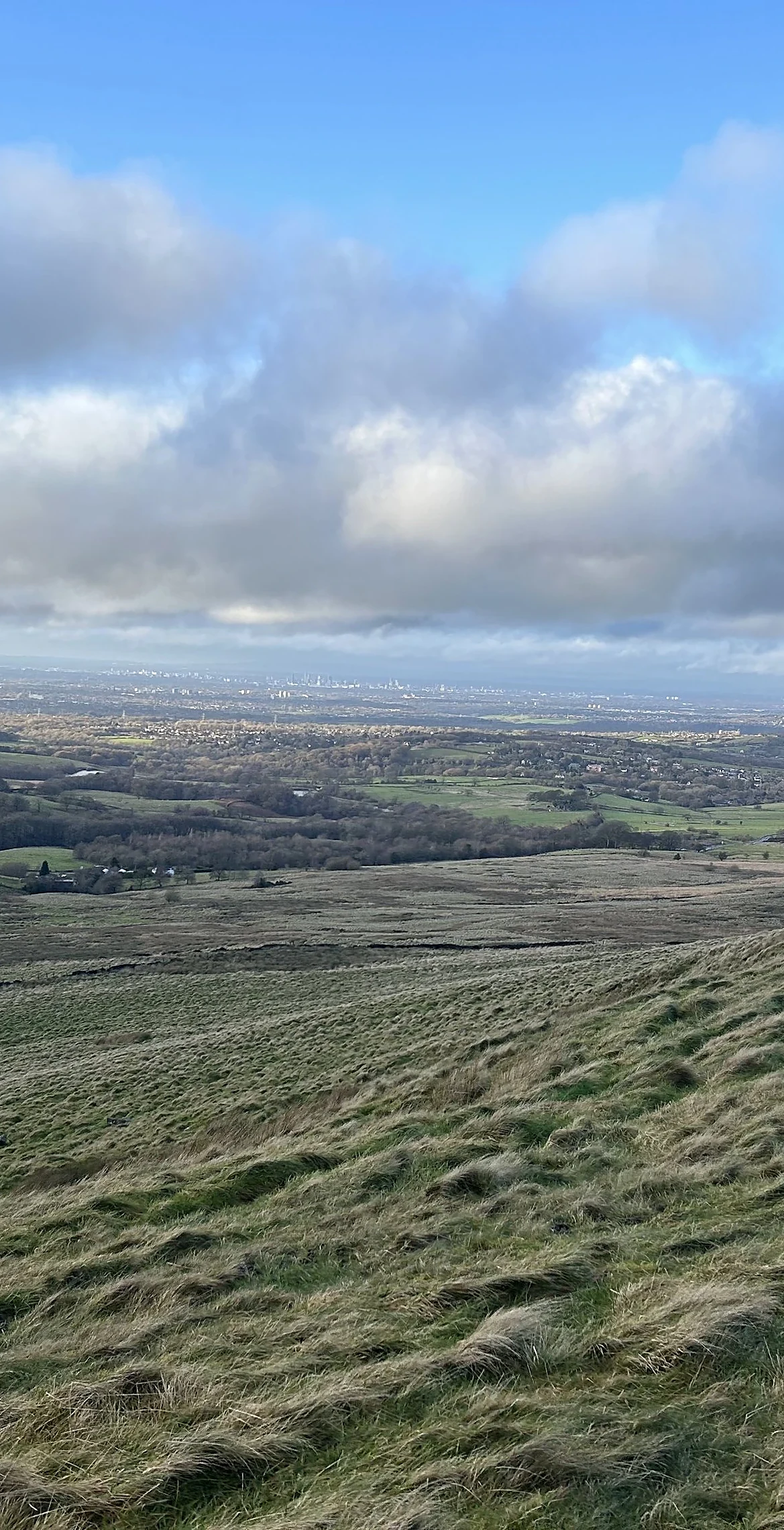


Whaley Moor rises between Whaley Bridge and Kettleshulme, on the Cheshire side of the Goyt. Its high point, sometimes called Black Hill, is an unmarked spot by a wall junction, with ground of much the same height all around. Below the end of the moor stands the Dipping Stone, the base of an old wayside and boundary cross, with a view across to Chinley Churn and Kinder Scout.
New to the Ethels?Read our guide: What Are The Peak District Ethels?No feature 2 m south of wall and 10 m west of wall junction
Rough moorland grazing divided by drystone walls, with no obvious summit.
HuMP
Summit Weather
Our Route
No path for 1 kmAbout 1 km of this route has no path on the map (longest stretch 1 km). Expect rough, pathless ground. You will need a map and compass and the skills to use them.
Also on this route: Sponds Hill
Safety: Routes are a guide only. Carry a map and compass and know how to use them, check the weather before you go, and turn back if in doubt. You use this route at your own risk.