


Hill data: The Database of British and Irish Hills v18.6 (CC BY 4.0)Height522 m1,713 ft
Grid RefSJ 994 758
OS MapOL24OS Explorer
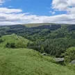
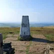
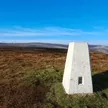
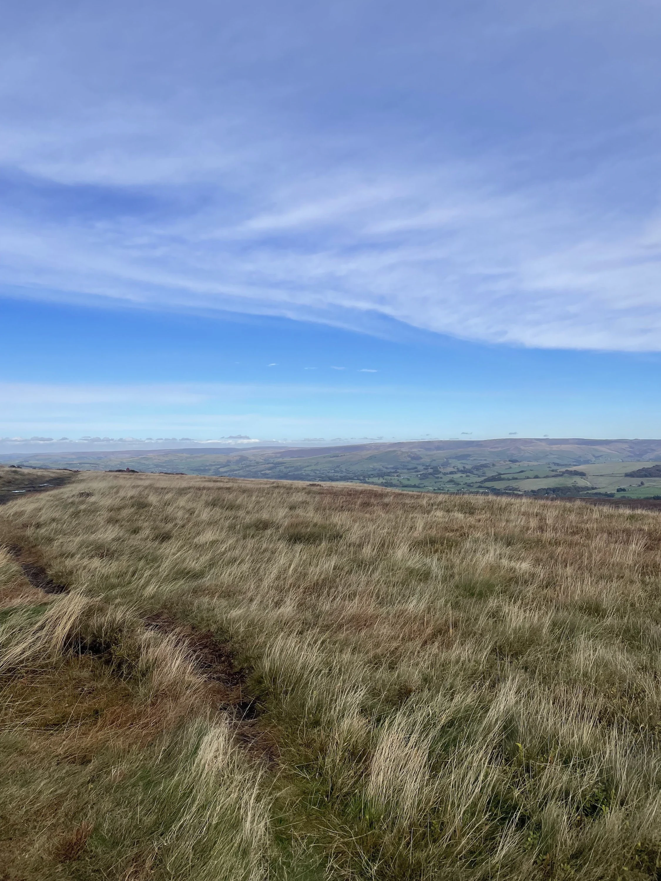
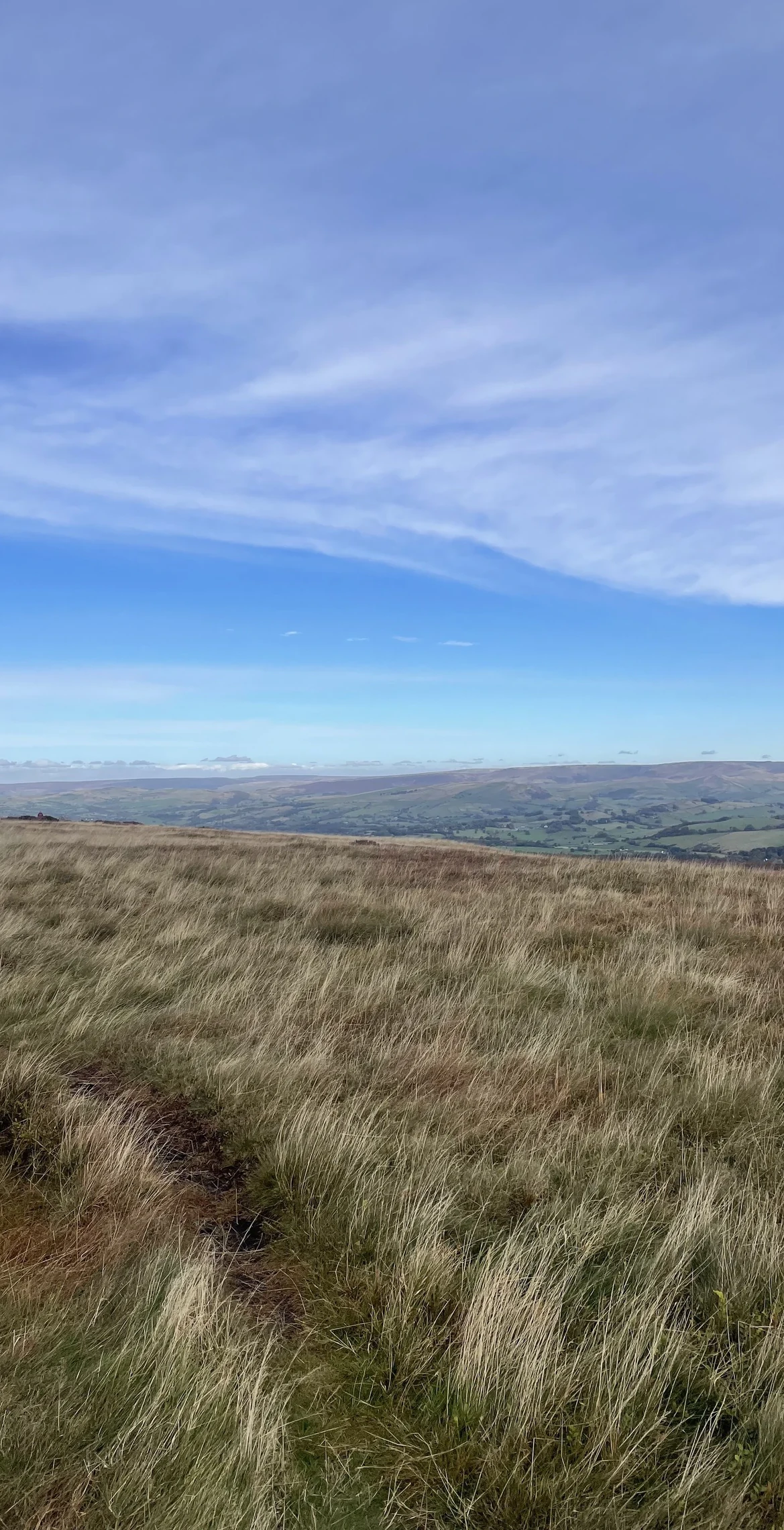
Cats Tor sits on the Cheshire and Derbyshire border, on the moorland ridge running north from Shining Tor. A small pile of stones marks the top, and the view east drops into the Goyt Valley and over Fernilee Reservoir. In September 1943 two American P-47 Thunderbolts flew into the hillside in cloud during a training flight, killing both pilots.
New to the Ethels?Read our guide: What Are The Peak District Ethels?Summit
Small pile of stones
Rock & Ground
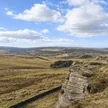
Gritstone ridge with heather and grass moor and small rocky buttresses.
Also On These Lists
Dewey
Summit Weather
Our Route
Distance9.2 mi14.7 km
Ascent540 m1,770 ft
Time4h 35mwalking
Start & FinishSK 0233 7516Circular route, back to the same spot
DirectionsAlso on this route: Foxlow Edge, Shining Tor
Safety: Routes are a guide only. Carry a map and compass and know how to use them, check the weather before you go, and turn back if in doubt. You use this route at your own risk.