


Hill data: The Database of British and Irish Hills v18.6 (CC BY 4.0)Height373 m1,224 ft
Grid RefSK 026 881
OS MapOL1OS Explorer
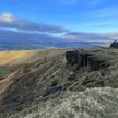
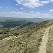
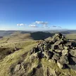
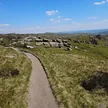
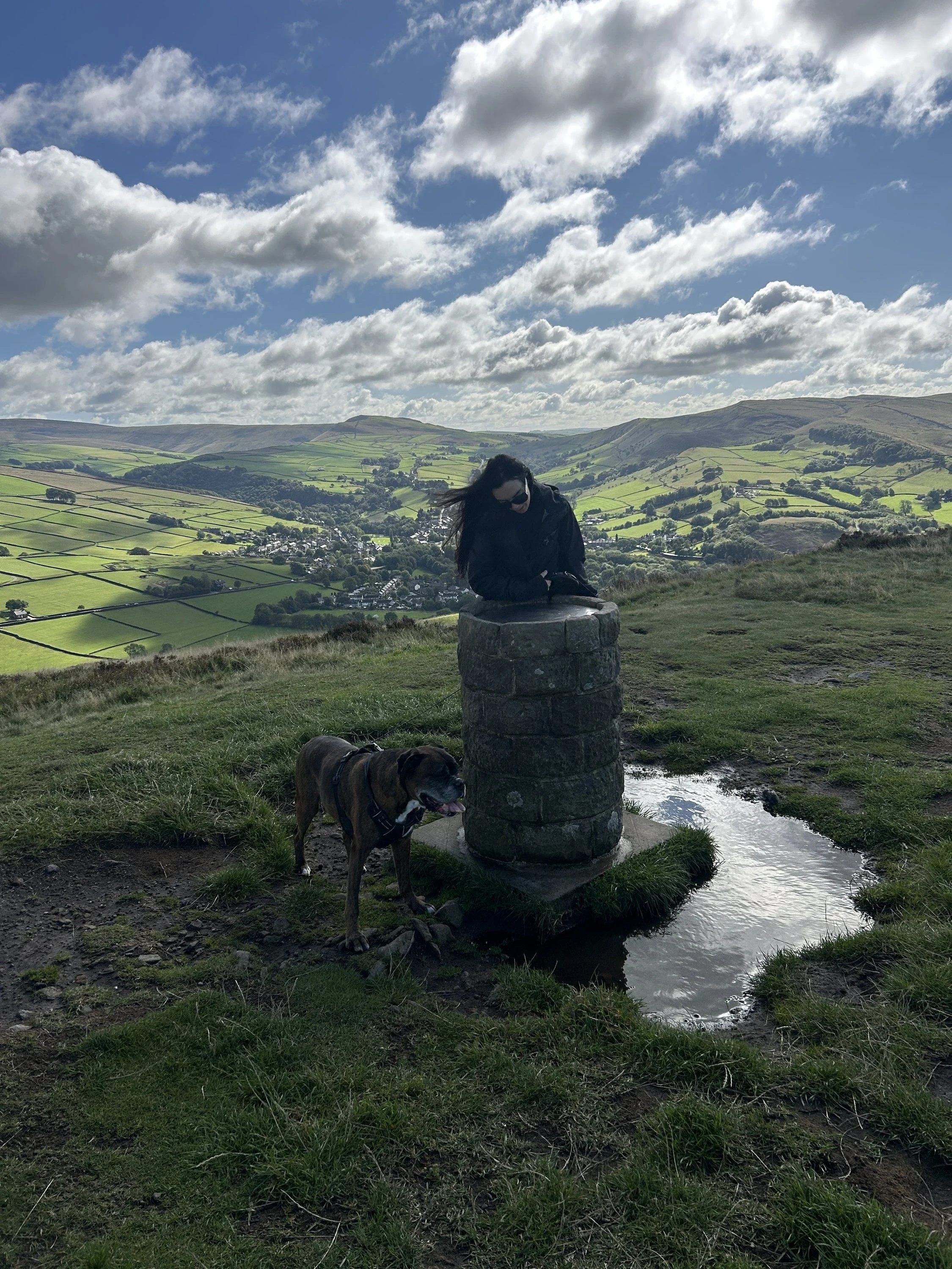
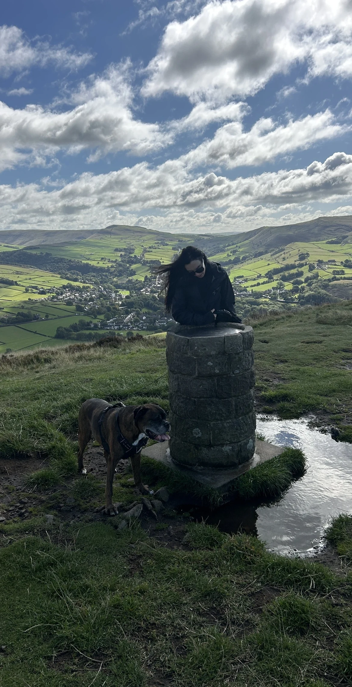
Lantern Pike is a neat little ridge between Hayfield and Rowarth, looking straight across the Sett valley to the western edge of Kinder Scout. The name probably comes from its use as a beacon hill. The National Trust looks after the top, which has a topograph dedicated to Edwin Royce; the true high point is plain ground a few paces to the north.
New to the Ethels?Read our guide: What Are The Peak District Ethels?Summit
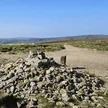
No marker: ground 15 m north of view-indicator
Rock & Ground
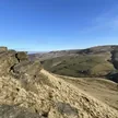
Gritstone ridge with a heathery top and rough grazing on its flanks.
Summit Weather
Our Route
Distance9.4 mi15.1 km
Ascent540 m1,770 ft
Time4h 40mwalking
Start & FinishSK 0487 8694Circular route, back to the same spot
DirectionsAlso on this route: Mill Hill
Safety: Routes are a guide only. Carry a map and compass and know how to use them, check the weather before you go, and turn back if in doubt. You use this route at your own risk.