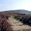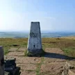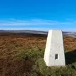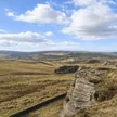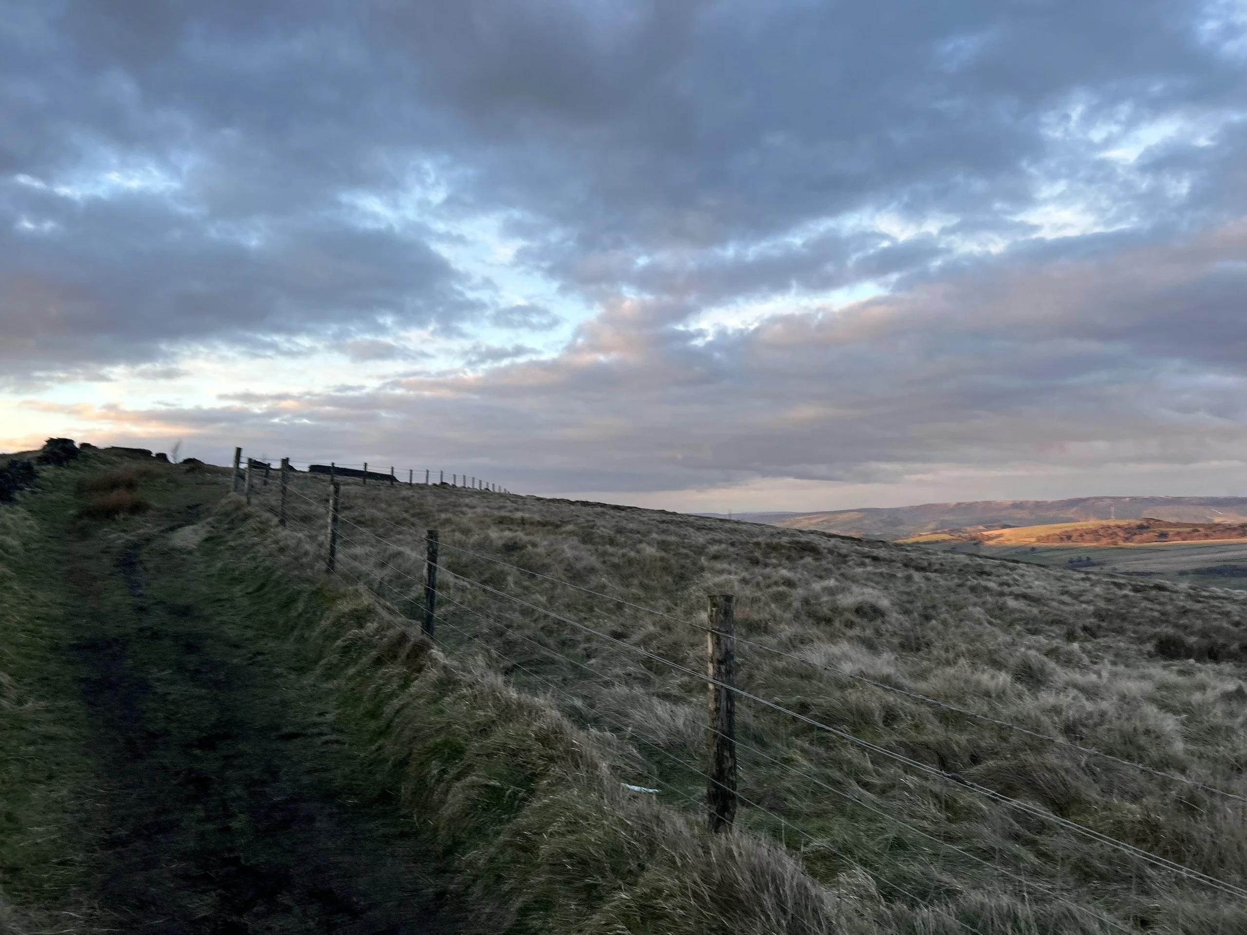



Foxlow Edge is a moorland shoulder on the west side of the Goyt Valley, between the Cats Tor ridge and Errwood Reservoir, which was finished in 1967. There's no summit marker, just a patch of ground beside a track. Below the edge are the ruins of Errwood Hall, the Grimshawe family's Victorian mansion, and a tiny stone shrine built in 1889 in memory of Dolores, a friend of the family. The old road called The Street, often said to be Roman, runs nearby.
New to the Ethels?Read our guide: What Are The Peak District Ethels?No marker: ground by track
Grass, bracken and heather moorland on gritstone, with stone walls and muddy tracks.
Summit Weather
Our Route
Also on this route: Cats Tor, Shining Tor
Safety: Routes are a guide only. Carry a map and compass and know how to use them, check the weather before you go, and turn back if in doubt. You use this route at your own risk.