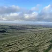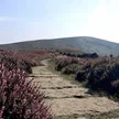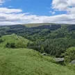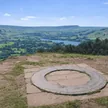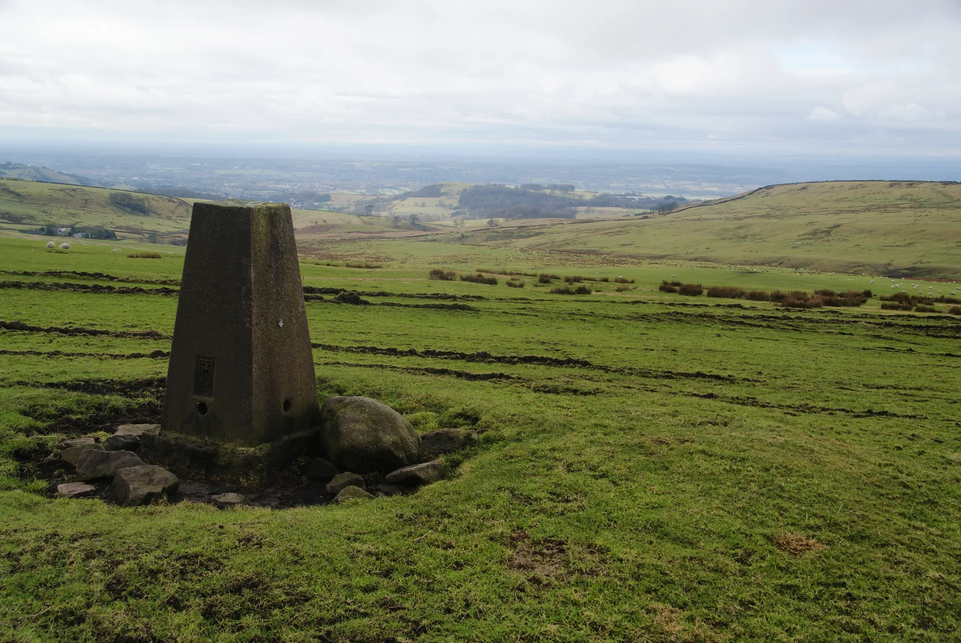


Sponds Hill sits on the open moor above Lyme Park, with the Gritstone Trail passing just east of its trig point. Oddly, the highest ground isn't at the pillar but some way south, beside a view indicator. On a clear day you see west over Manchester and the Cheshire Plain and east into the Peak District, and the Bow Stones, a pair of Anglo-Saxon cross shafts, stand on the ridge about 1.4 km to the north.
New to the Ethels?Read our guide: What Are The Peak District Ethels?View indicator 380 m SSE of trig point
Gritstone moorland of rough grass and heather, divided by drystone walls.
Summit Weather
Our Route
No path for 1 kmAbout 1 km of this route has no path on the map (longest stretch 1 km). Expect rough, pathless ground. You will need a map and compass and the skills to use them.
Also on this route: Black Hill (Whaley Moor)
Safety: Routes are a guide only. Carry a map and compass and know how to use them, check the weather before you go, and turn back if in doubt. You use this route at your own risk.