


Hill data: The Database of British and Irish Hills v18.6 (CC BY 4.0)Height457 m1,499 ft
Grid RefSK 036 843
OS MapOL1OS Explorer
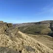
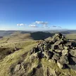
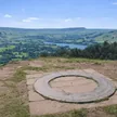
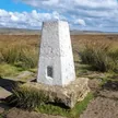
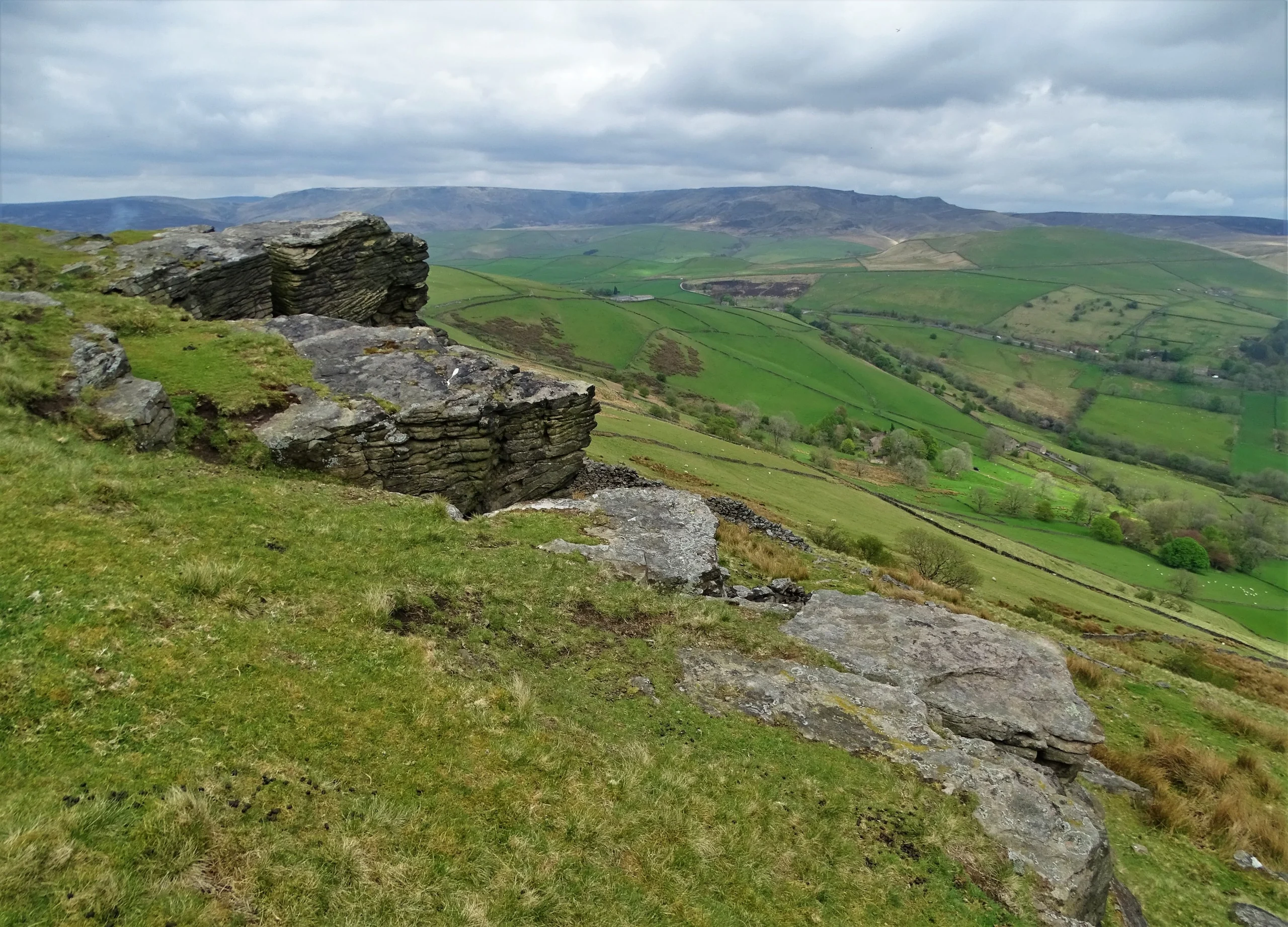
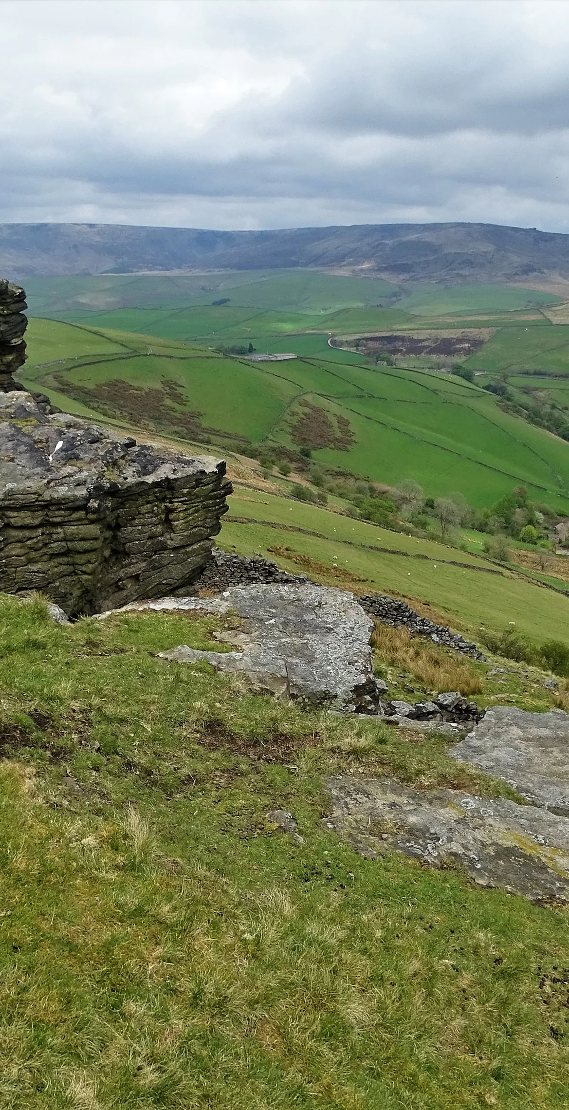
Chinley Churn is a gritstone hill between Chinley and Hayfield, and its top is marked by nothing more than a single stone in the grass. Its eastern face is Cracken Edge, where quarrymen cut stone from at least 1640 into the 1900s. Local tradition says a chieftain called Taro Trin is buried in a barrow near the lower southern top, where a trig pillar stood until it was removed after April 2024.
New to the Ethels?Read our guide: What Are The Peak District Ethels?Summit
Single stone in grass
Rock & Ground
Millstone grit hill with grassy top and heavily quarried eastern edge.
Also On These Lists
HuMP
Summit Weather
Our Route
Distance3.7 mi5.9 km
Ascent250 m820 ft
Time1h 50mwalking
Start & FinishSK 0208 8473Circular route, back to the same spot
DirectionsSafety: Routes are a guide only. Carry a map and compass and know how to use them, check the weather before you go, and turn back if in doubt. You use this route at your own risk.