


Hill data: The Database of British and Irish Hills v18.6 (CC BY 4.0)Height367 m1,204 ft
Grid RefSK 254 593
OS MapOL24OS Explorer
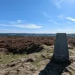
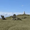
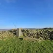
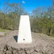
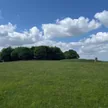
Blakelow Hill is the high point of Bonsall Moor, a limestone upland above Bonsall and Matlock that's been dug for lead since at least 1541. Lines of spoil hillocks, capped shafts and open cuts still trace the old veins across the fields. A trig point marks the top, though ground by a wall nearby is about as high. The summit is on private land.
New to the Ethels?Read our guide: What Are The Peak District Ethels?Summit
Trig point
Rock & Ground
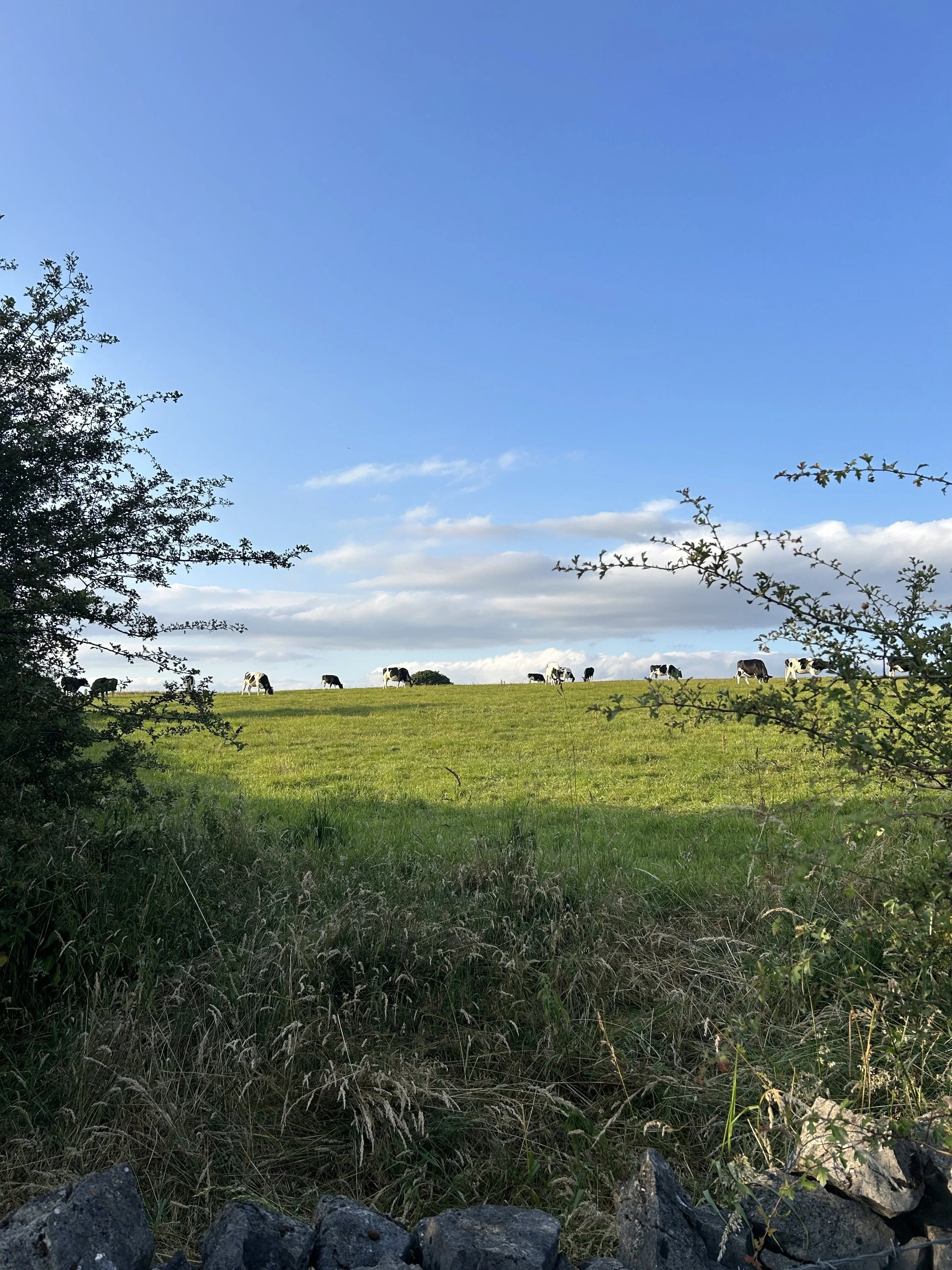
Carboniferous limestone pasture scarred by lead-mine hillocks, shafts and drystone walls.
Summit Weather
Our Route
Distance10.6 mi17.0 km
Ascent440 m1,440 ft
Time5h 15mwalking
Start & FinishSK 2324 5579Circular route, back to the same spot
DirectionsAlso on this route: Harboro Rocks
Safety: Routes are a guide only. Carry a map and compass and know how to use them, check the weather before you go, and turn back if in doubt. You use this route at your own risk.