

Hill data: The Database of British and Irish Hills v18.6 (CC BY 4.0)Height323 m1,060 ft
Grid RefSK 293 553
OS MapOL24OS Explorer
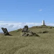
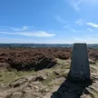
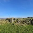
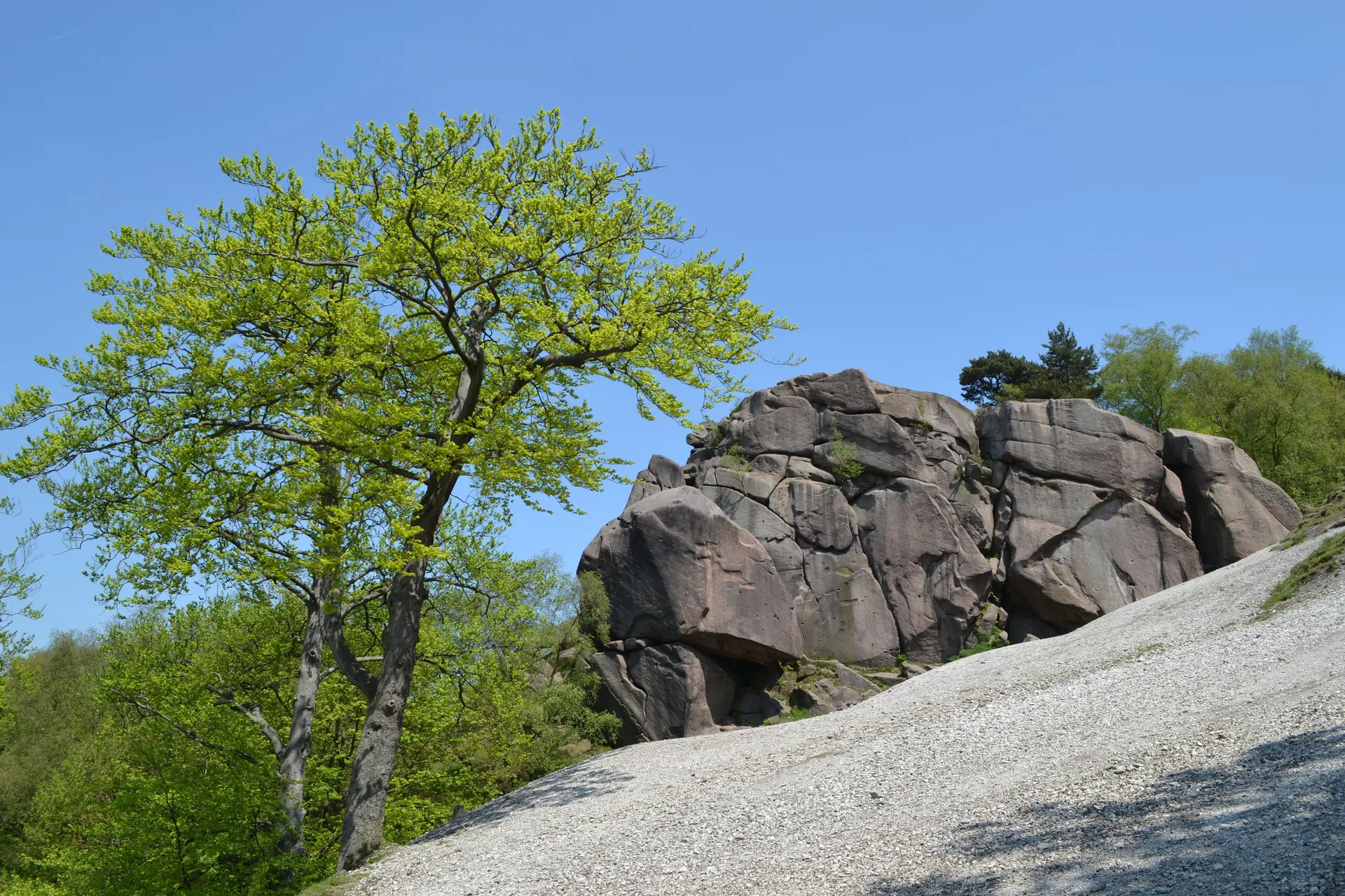
Bolehill rises above Wirksworth on Cromford Moor, with a 1937 trig pillar on a circular plinth near the top. The true high point is a vegetated rock just over the fence, close to a carved boulder. A short way north, the gritstone crag of Black Rocks looks out over Cromford and Matlock, and the surrounding woods hide old quarries and an abandoned millstone.
New to the Ethels?Read our guide: What Are The Peak District Ethels?Summit
Vegetated rock on west side of fence 20 m SSE of trig point
Rock & Ground
Gritstone hilltop with woodland, old quarry workings and rocky outcrops.
Also On These Lists
HuMP
Summit Weather
Our Route
Distance7.0 mi11.2 km
Ascent440 m1,440 ft
Time3h 30mwalking
Start & FinishSK 3003 5702Circular route, back to the same spot
DirectionsSafety: Routes are a guide only. Carry a map and compass and know how to use them, check the weather before you go, and turn back if in doubt. You use this route at your own risk.