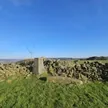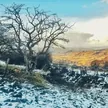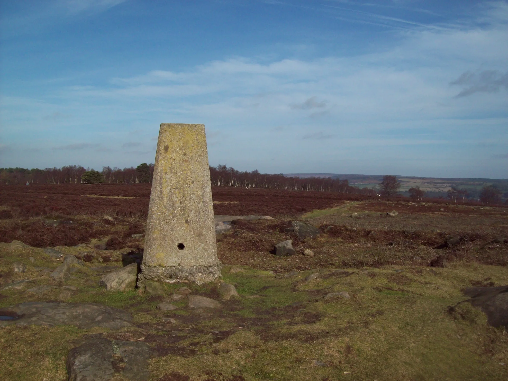


This small heather plateau above the Derwent valley near Birchover is packed with Bronze Age remains: more than 70 burial mounds and several stone circles, the best known being the Nine Ladies. Around its edges stand wind-carved gritstone pillars such as the Cork Stone, and on the eastern side is the Earl Grey Tower, built in 1832 to mark the Reform Act. The highest point is a rock set in the ground beside the trig point at the moor's southern end.
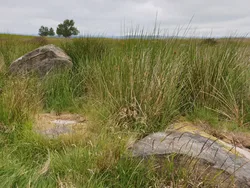
New to the Ethels?Read our guide: What Are The Peak District Ethels?Embedded rock 11 m SSW of trig point
A cap of Millstone Grit over mudstone, with heather moor, old quarries and weathered sandstone pillars.
HuMP
Summit Weather
Our Route
Safety: Routes are a guide only. Carry a map and compass and know how to use them, check the weather before you go, and turn back if in doubt. You use this route at your own risk.