

Hill data: The Database of British and Irish Hills v18.6 (CC BY 4.0)Height356.7 m1,170 ft
Grid RefSK 182 677
OS MapOL24OS Explorer
Bole Hill sits on the limestone plateau south of the Wye, just above Bakewell. Its name points to a bole, a medieval hilltop hearth for smelting lead, and the hill has been heavily mined. Near the top is an Early Bronze Age burial mound that Thomas Bateman opened in 1854, finding a crouched skeleton with a flint tool and a bronze knife. The trig point has gone and the summit is unmarked. The summit is on private land.
New to the Ethels?Read our guide: What Are The Peak District Ethels?Summit
No feature
Rock & Ground
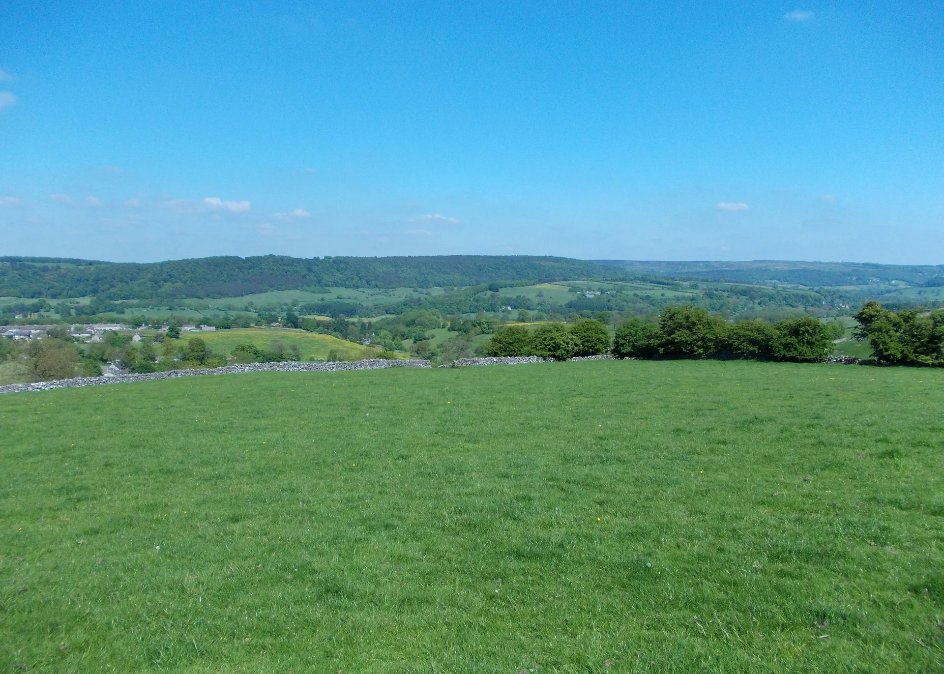
Carboniferous limestone pasture, pocked by old lead-mining hollows and walled fields.
Summit Weather
Our Route
Distance8.6 mi13.8 km
Ascent260 m850 ft
Time4h 15mwalking
Start & FinishSK 2029 6641Circular route, back to the same spot
DirectionsSafety: Routes are a guide only. Carry a map and compass and know how to use them, check the weather before you go, and turn back if in doubt. You use this route at your own risk.