


Hill data: The Database of British and Irish Hills v18.6 (CC BY 4.0)Height304 m997 ft
Grid RefSK 249 674
OS MapOL24OS Explorer
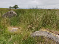
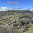
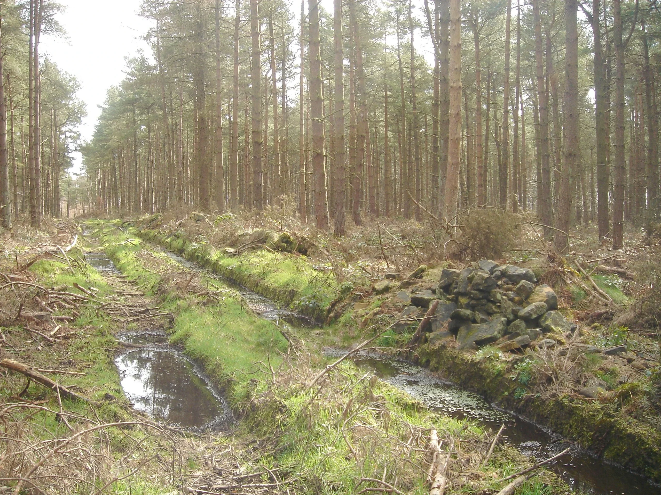
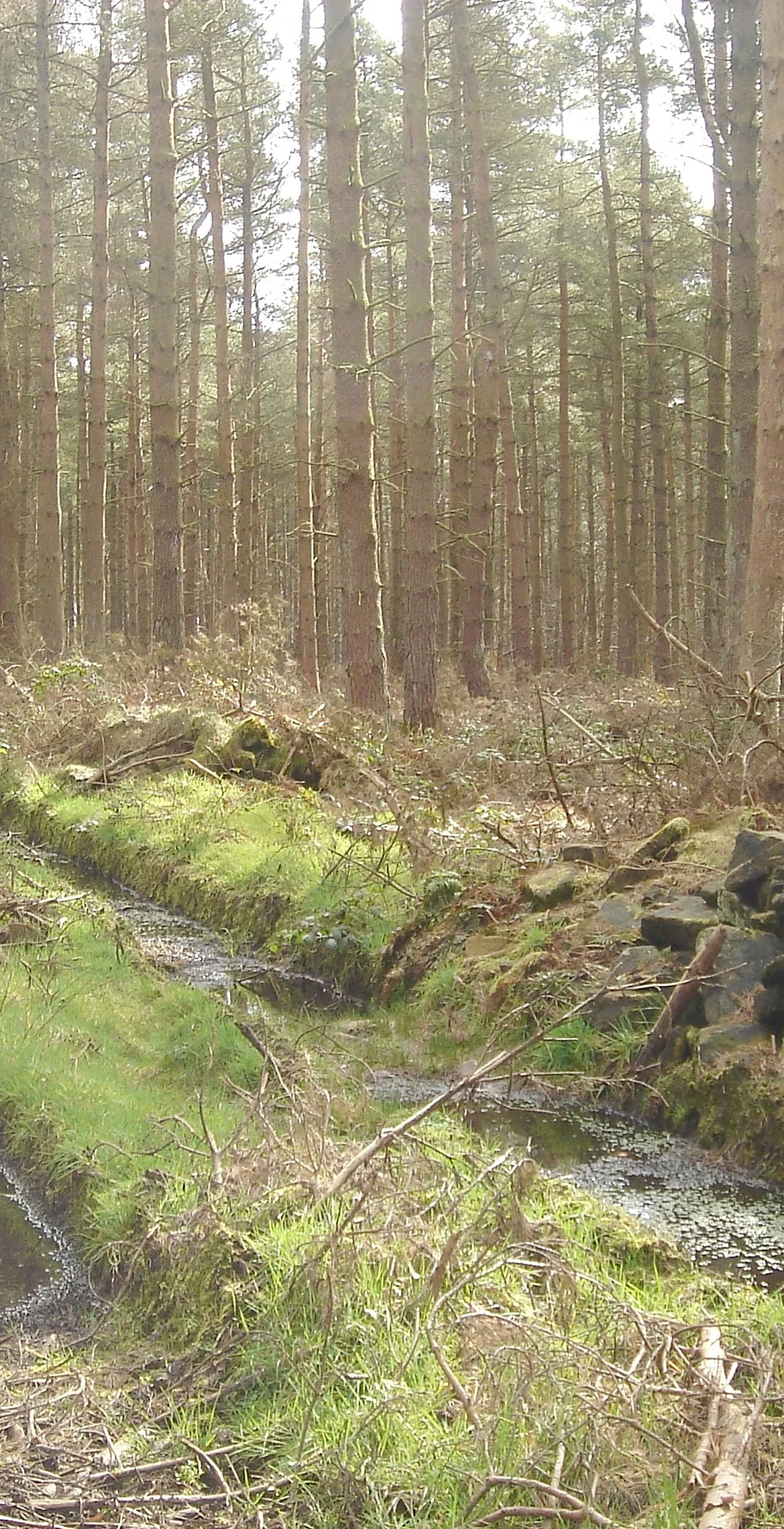
Just north of Rowsley, Lees Moor is the high ground between the Wye and Derwent valleys, with Haddon Hall below it to the west and Chatsworth Park beyond its northern slopes. The top is flat and wooded, and the highest point is unmarked ground beside a wall inside Lees Moor Wood. The summit is on private land.
New to the Ethels?Read our guide: What Are The Peak District Ethels?Summit
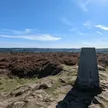
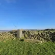
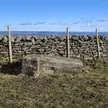
No marker: ground by wall
Rock & Ground
Broad, flat-topped rise under woodland, with farmland on its lower slopes.
Also On These Lists
HuMP
Summit Weather
Our Route
Distance8.6 mi13.8 km
Ascent370 m1,210 ft
Time4h 15mwalking
Start & FinishSK 2206 6860Circular route, back to the same spot
DirectionsSafety: Routes are a guide only. Carry a map and compass and know how to use them, check the weather before you go, and turn back if in doubt. You use this route at your own risk.