

Hill data: The Database of British and Irish Hills v18.6 (CC BY 4.0)Height438.5 m1,439 ft
Grid RefSK 133 708
OS MapOL24OS Explorer
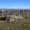
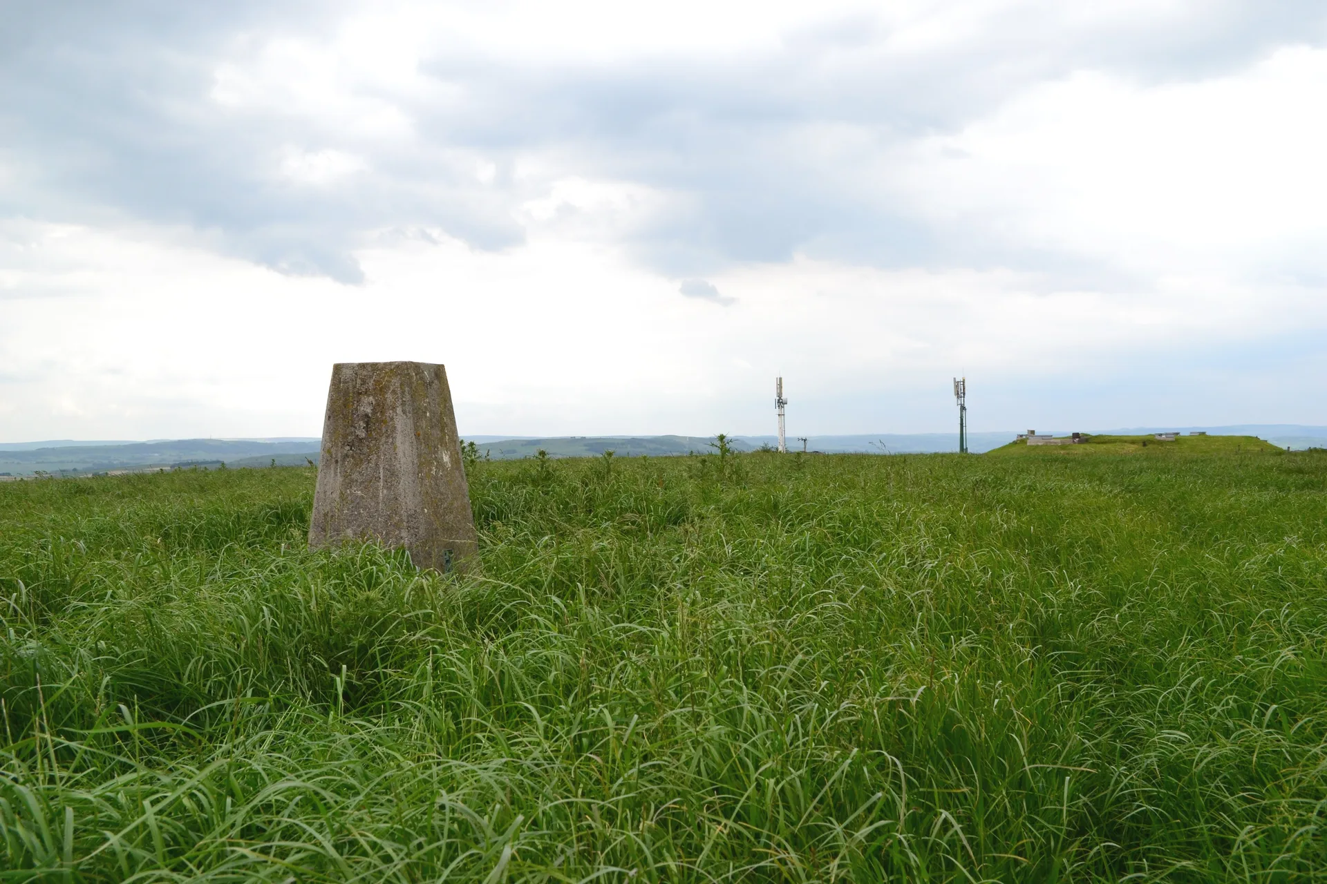
Sough Top is the high point of Taddington Moor, the broad limestone upland between Buxton and Bakewell, and its very top lies in a farmed field. A trig point stands close by, along with a small reservoir, telecom masts and a capped old mineshaft. 'Sough' is the Derbyshire lead miners' word for a tunnel dug to drain water from the workings. The summit is on private land.
New to the Ethels?Read our guide: What Are The Peak District Ethels?Summit
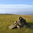
No marker: arable field
Rock & Ground
Carboniferous limestone plateau under walled farmland, with traces of old lead mining.
Summit Weather
Our Route
Distance3.1 mi4.9 km
Ascent130 m430 ft
Time1h 35mwalking
Start & FinishSK 1151 7027Circular route, back to the same spot
DirectionsAlso on this route: Chelmorton Low
Safety: Routes are a guide only. Carry a map and compass and know how to use them, check the weather before you go, and turn back if in doubt. You use this route at your own risk.