


Hill data: The Database of British and Irish Hills v18.6 (CC BY 4.0)Height471 m1,545 ft
Grid RefSK 131 801
OS MapOL24OS Explorer
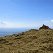
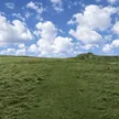
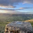
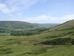
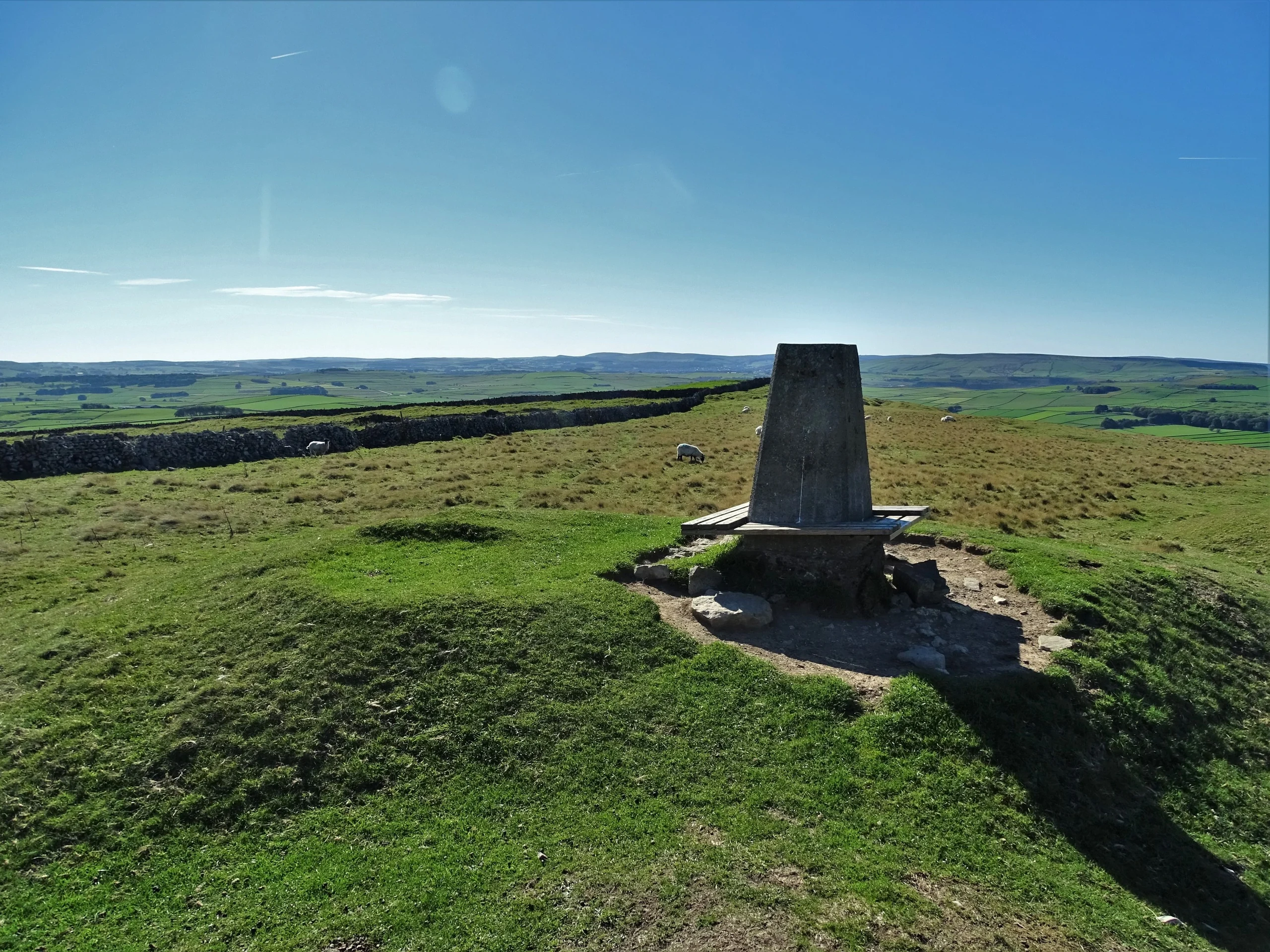
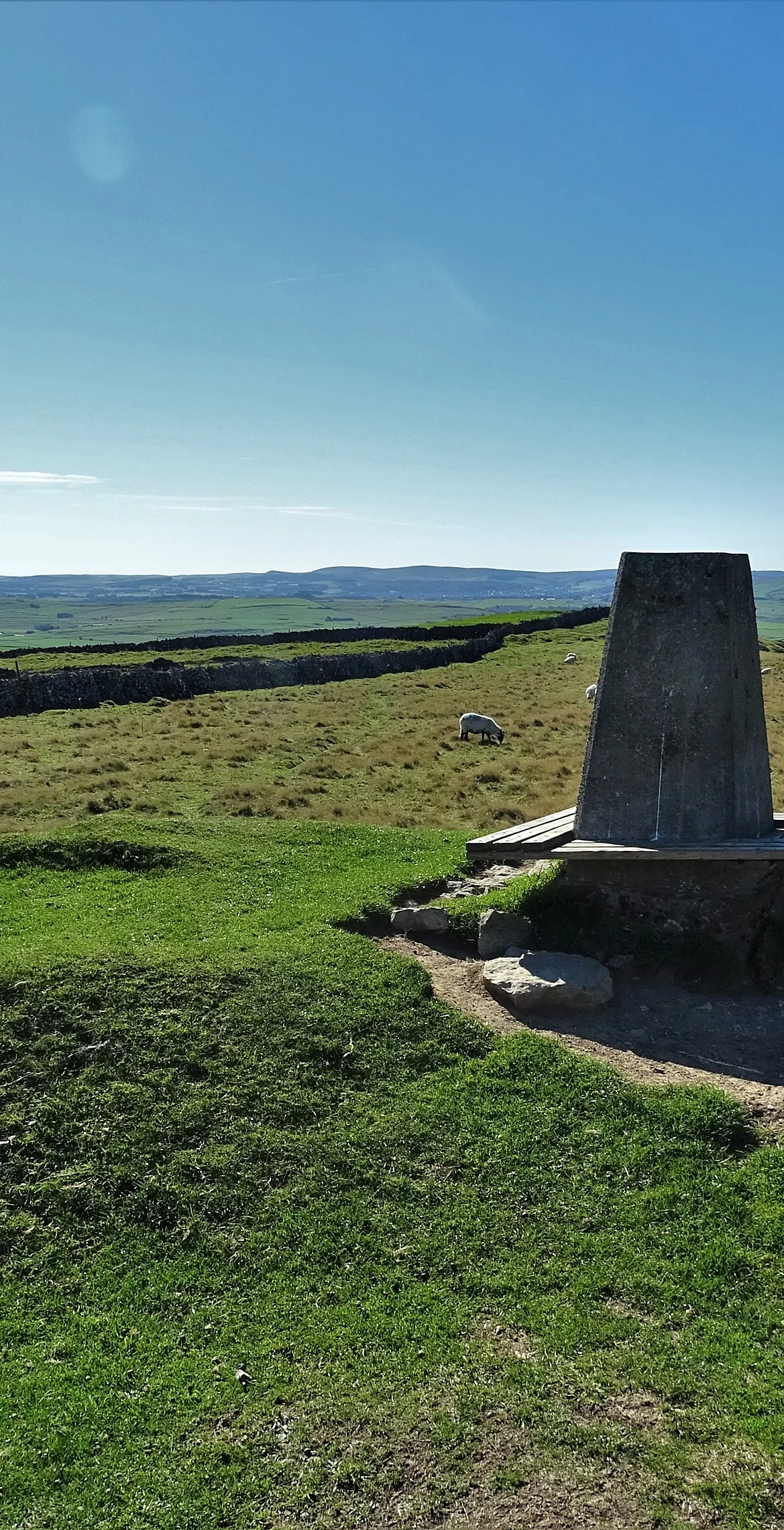
Bradwell Moor is a high limestone plateau above Castleton and Bradwell, its top a grassy mound just beside the trig point. The ground is pocked with old lead workings and edged by modern quarries. The course of Batham Gate, a Roman road, runs across the moor, and Eldon Hill lies a couple of kilometres to the north-west.
New to the Ethels?Read our guide: What Are The Peak District Ethels?Summit
Grassy mound 8 m north-east of trig point
Rock & Ground
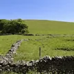
Carboniferous limestone grassland with lead-mine hillocks, walls and nearby quarries.
Summit Weather
Our Route
Distance7.4 mi11.8 km
Ascent400 m1,310 ft
Time3h 40mwalking
Start & FinishSK 1286 7960Circular route, back to the same spot
DirectionsSafety: Routes are a guide only. Carry a map and compass and know how to use them, check the weather before you go, and turn back if in doubt. You use this route at your own risk.