


Hill data: The Database of British and Irish Hills v18.6 (CC BY 4.0)Height477.5 m1,567 ft
Grid RefSK 122 819
OS MapOL24OS Explorer
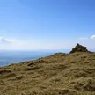
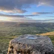
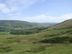
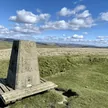
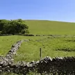
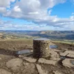
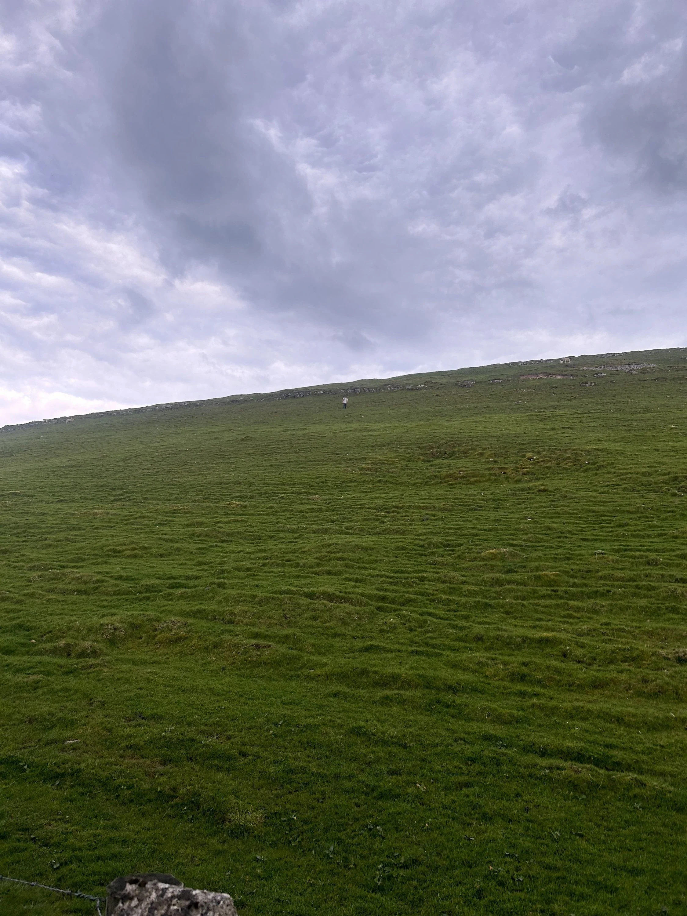
Slitherstone Hill is a quiet rise on the limestone plateau south of Mam Tor, between Rushup Edge and Eldon Hill. The surrounding fields are dotted with mounds from old lead workings, such as the Clear-the-Way Mine and Oxlow Rake. From the top, the view north takes in Mam Tor, the Great Ridge to Lose Hill, and Win Hill and Stanage Edge beyond. The summit is on private land.
New to the Ethels?Read our guide: What Are The Peak District Ethels?Summit
No feature
Rock & Ground
Limestone upland of walled grazing, pitted with old lead-mine hollows and spoil.
Summit Weather
Our Route
Distance9.6 mi15.5 km
Ascent490 m1,610 ft
Time4h 50mwalking
Start & FinishSK 1239 8323Circular route, back to the same spot
DirectionsAlso on this route: Eldon Hill, Gautries Hill, Lord’s Seat (Rushup Edge)
Safety: Routes are a guide only. Carry a map and compass and know how to use them, check the weather before you go, and turn back if in doubt. You use this route at your own risk.