


Hill data: The Database of British and Irish Hills v18.6 (CC BY 4.0)Height517 m1,696 ft
Grid RefSK 127 836
OS MapOL1OS Explorer
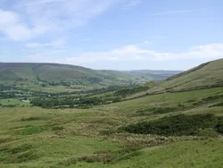
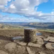
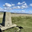
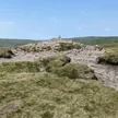
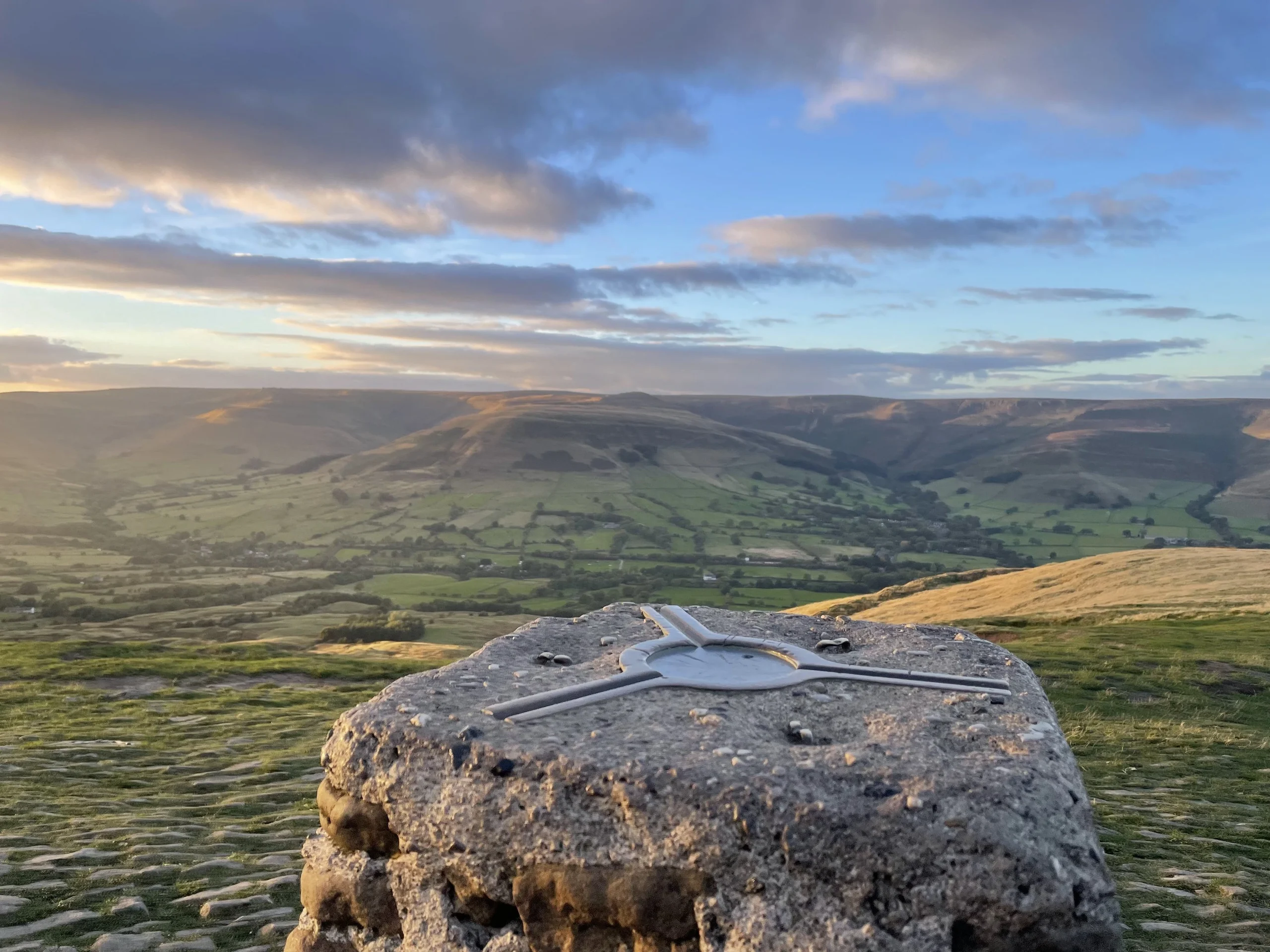
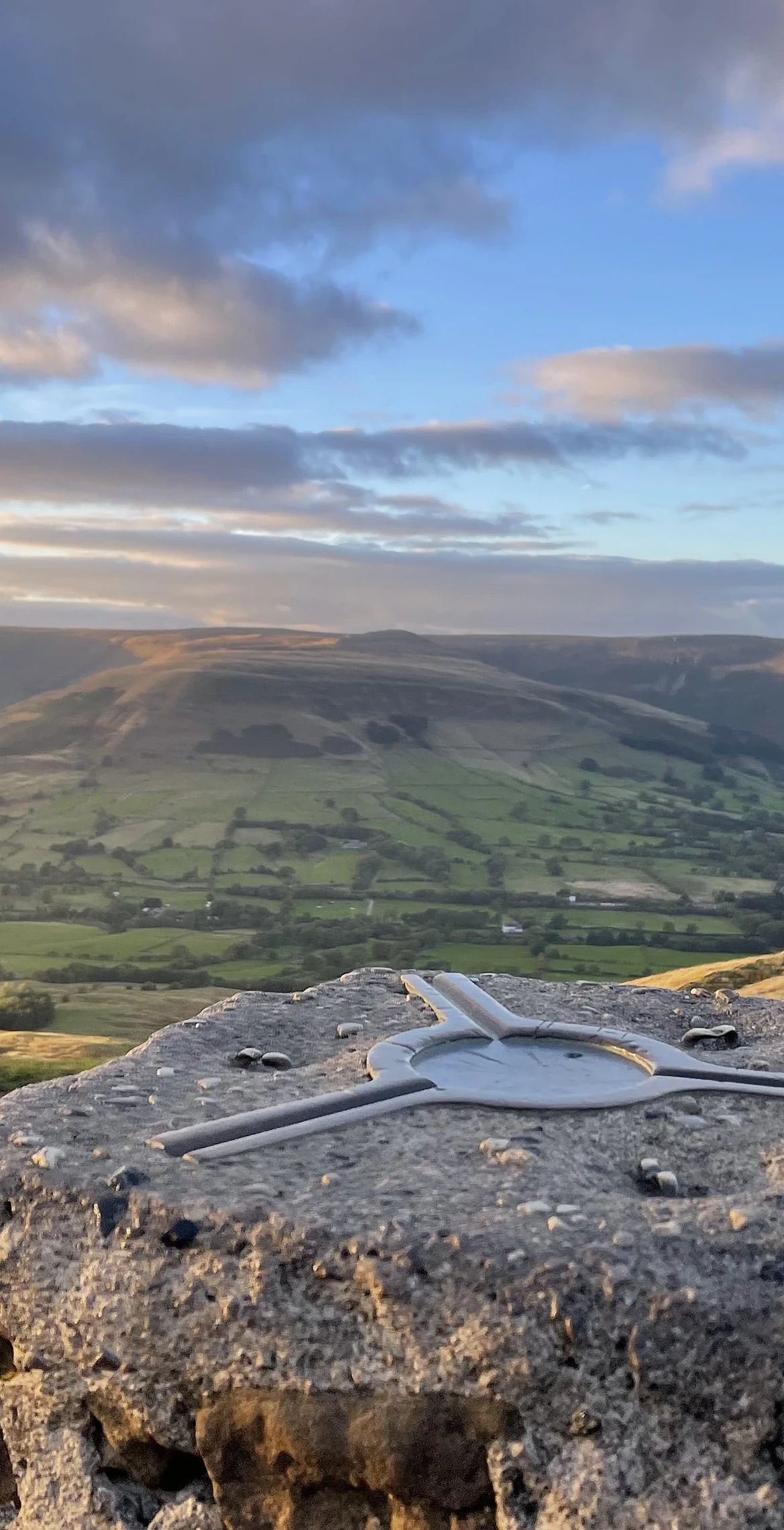
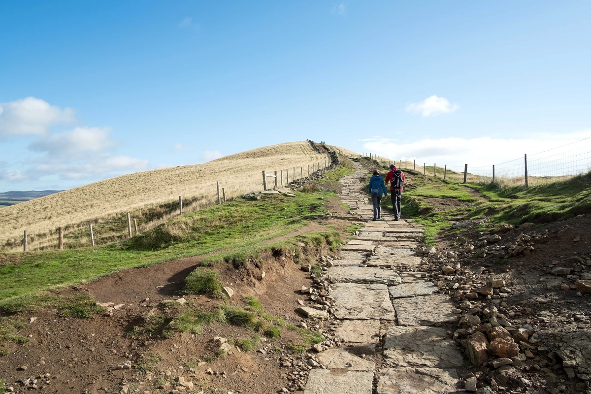
Mam Tor's name is usually explained as 'mother hill', because landslips on its eastern face have created a scatter of small hills below it. A late Bronze Age and Iron Age hillfort rings the summit, and two Bronze Age burial mounds lie beneath the paved top beside the trig point. The east face slips so often that the main road below was abandoned in 1979, earning it the name Shivering Mountain.
New to the Ethels?Read our guide: What Are The Peak District Ethels?Summit
Cobbled ground 3 m north-west of trig point
Rock & Ground
Sandstone beds over soft black shale, which slumps away in an active landslide.
Also On These Lists
Dewey
Summit Weather
Our Route
Distance5.4 mi8.7 km
Ascent410 m1,350 ft
Time3hwalking
Start & FinishSK 1242 8318Circular route, back to the same spot
DirectionsAlso on this route: Lose Hill
Safety: Routes are a guide only. Carry a map and compass and know how to use them, check the weather before you go, and turn back if in doubt. You use this route at your own risk.