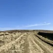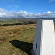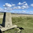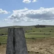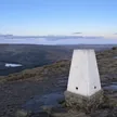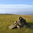



Durham Edge is the northern end of Abney Moor, rising just south of Bradwell and about 5 km south-east of Castleton. The top is a grassy mound a few metres from a trig point. The same high ground runs south to Camphill, the airfield of the Derbyshire and Lancashire Gliding Club, so gliders are often overhead. Open access land lies to the east, but the high point itself isn't open to the public. The summit is on private land.
New to the Ethels?Read our guide: What Are The Peak District Ethels?Grass mound 6 m south-east of trig point
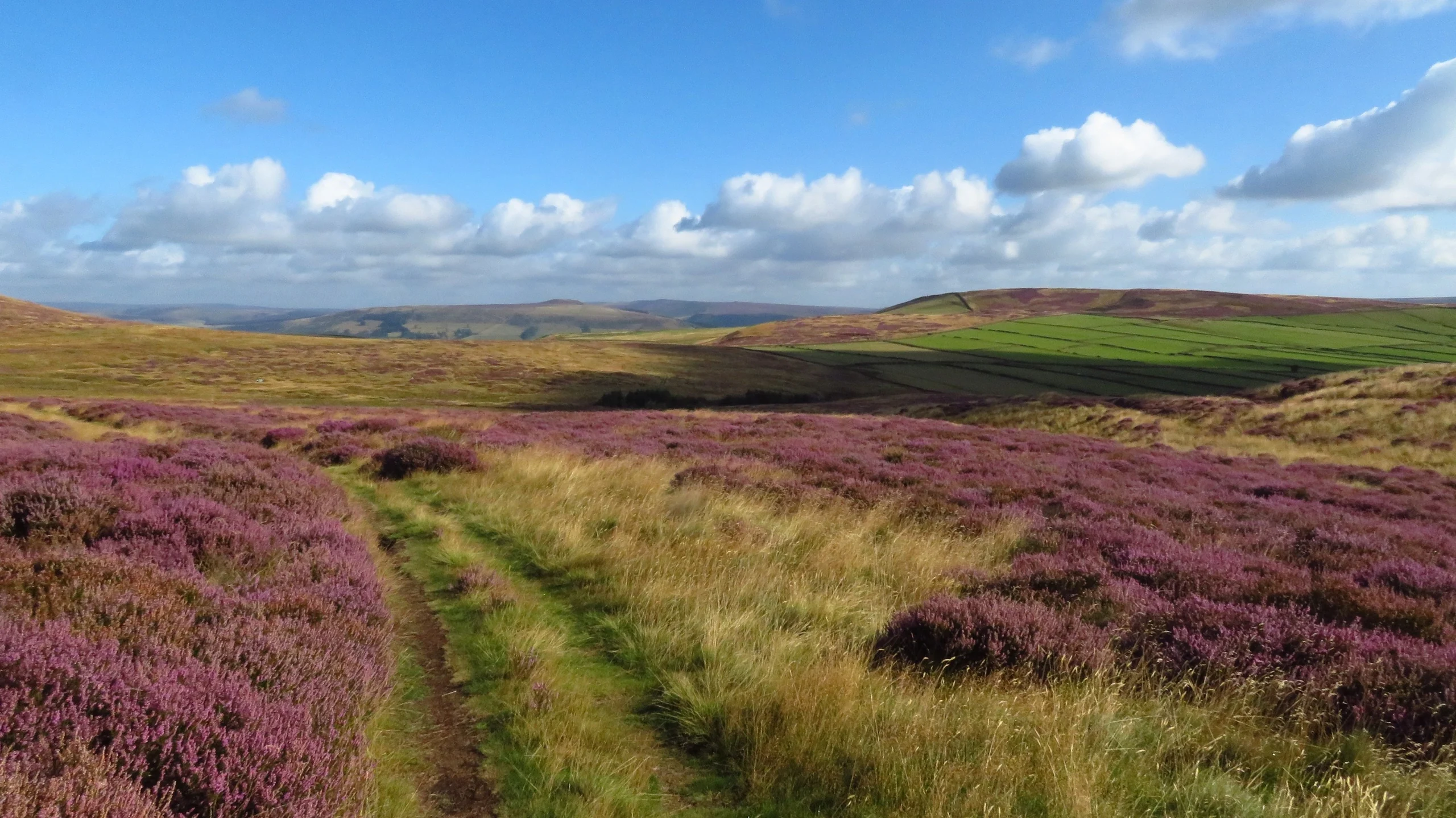
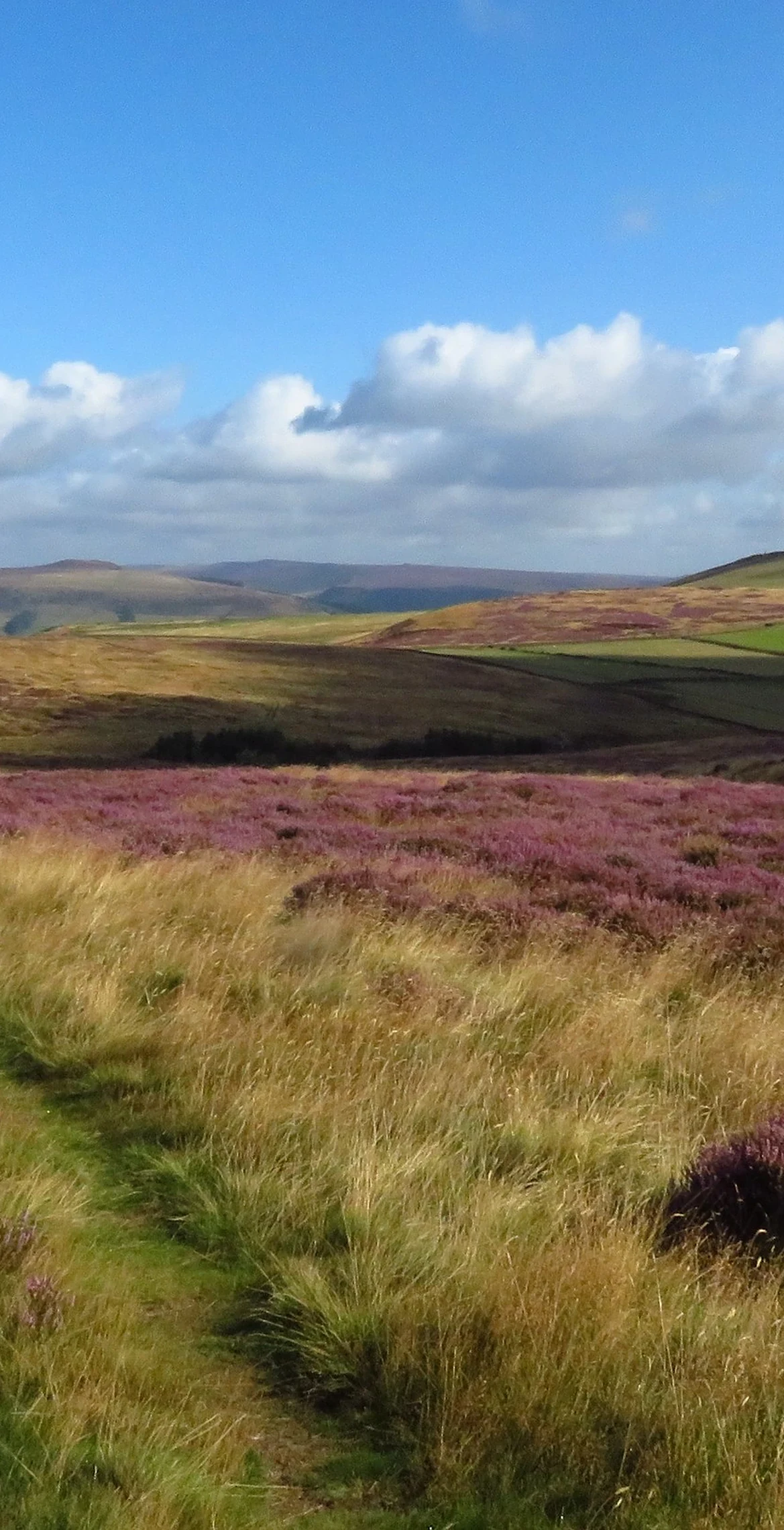
Rough grass and heather moorland on a broad, rounded top.
Summit Weather
Our Route
Also on this route: Burton Bole (Shatton Moor), Sir William Hill
Safety: Routes are a guide only. Carry a map and compass and know how to use them, check the weather before you go, and turn back if in doubt. You use this route at your own risk.