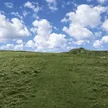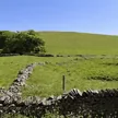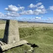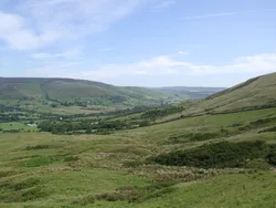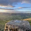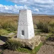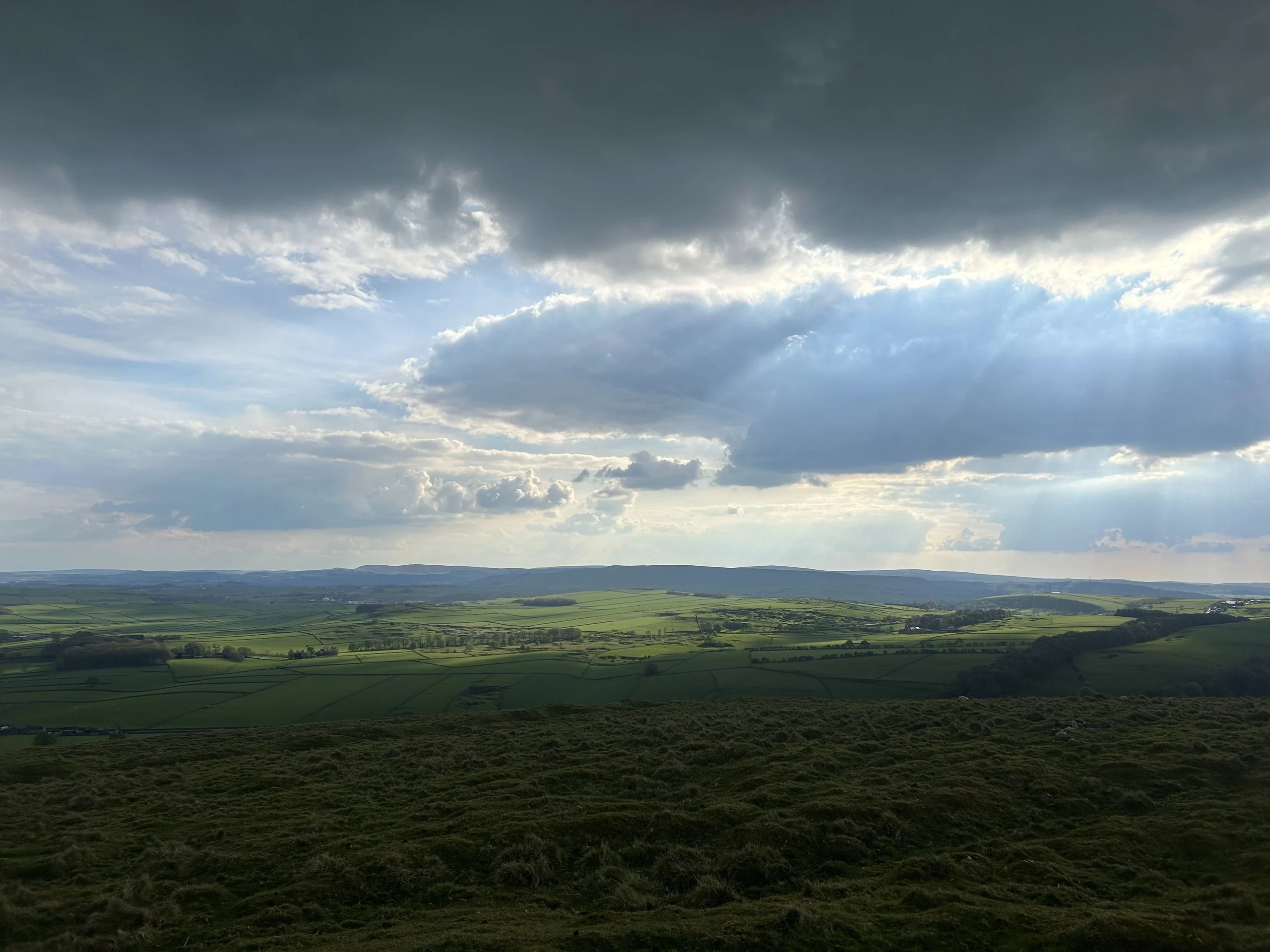

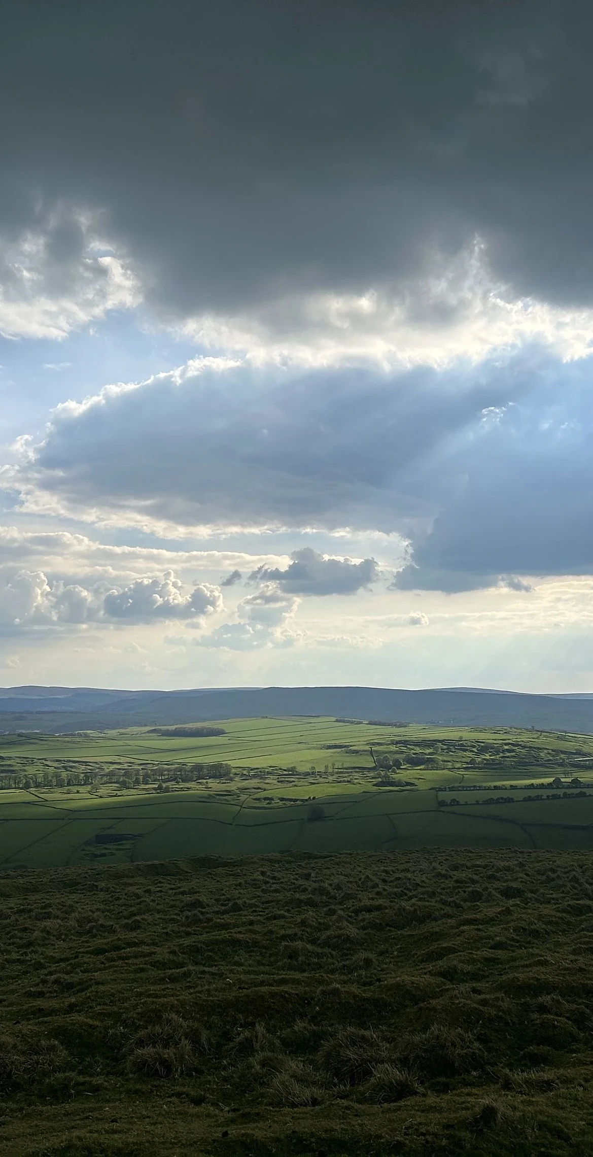


Eldon Hill is a limestone dome above Peak Forest, and the highest ground is the rim of a Bronze Age burial mound beside a cairn. Excavations of the mound have turned up skeletons and jewellery. Quarrying from 1950 to 1999 ate away much of the northern side, leaving a huge scar. South of the top is Eldon Hole, a pothole about 55 m deep that Thomas Hobbes counted among the Seven Wonders of the Peak in 1636. The name is thought to mean 'elves' hill'.
New to the Ethels?Read our guide: What Are The Peak District Ethels?Tumulus rim 2 m east of cairn
Pure Carboniferous limestone pushed up into a dome, with short grass and a large quarried face.
Summit Weather
Our Route
Also on this route: Gautries Hill, Lord’s Seat (Rushup Edge), Slitherstone Hill
Safety: Routes are a guide only. Carry a map and compass and know how to use them, check the weather before you go, and turn back if in doubt. You use this route at your own risk.