

Hill data: The Database of British and Irish Hills v18.6 (CC BY 4.0)Height569 m1,867 ft
Grid RefSK 083 851
OS MapOL1OS Explorer
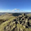
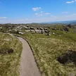
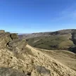
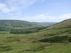
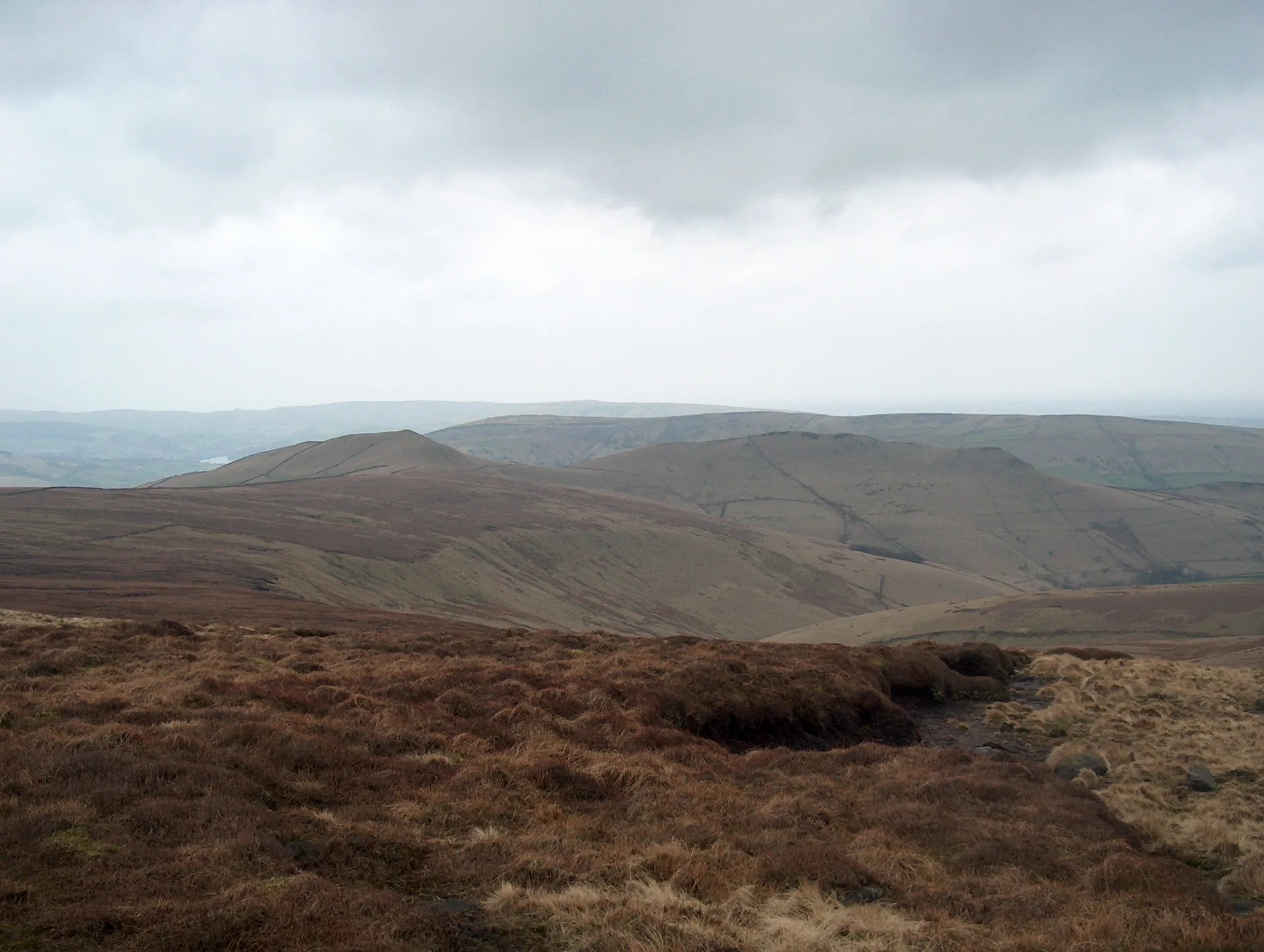
Brown Knoll is a broad, boggy dome between Edale and Chinley, linked to Kinder Scout by a peaty col. A paved path now leads across the moor to the trig point. On 28 December 1945 an RAF Airspeed Oxford flew into the summit in cloud; one injured trainee pilot wrapped his two hurt crewmates in parachutes and walked for hours to raise the alarm, and all three survived.
New to the Ethels?Read our guide: What Are The Peak District Ethels?Summit
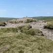
Ground within 6 m of trig point
Rock & Ground
Millstone grit under deep blanket peat and heather, wet and hagged in places.
Also On These Lists
Dewey
Summit Weather
Our Route
Distance10.9 mi17.6 km
Ascent590 m1,940 ft
Time5h 30mwalking
Start & FinishSK 1235 8531Circular route, back to the same spot
DirectionsAlso on this route: Grindslow Knoll, Kinder Scout
Safety: Routes are a guide only. Carry a map and compass and know how to use them, check the weather before you go, and turn back if in doubt. You use this route at your own risk.