


Hill data: The Database of British and Irish Hills v18.6 (CC BY 4.0)Height494 m1,621 ft
Grid RefSK 061 845
OS MapOL1OS Explorer
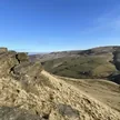
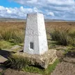
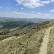
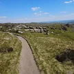
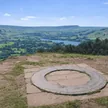
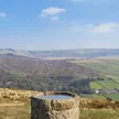
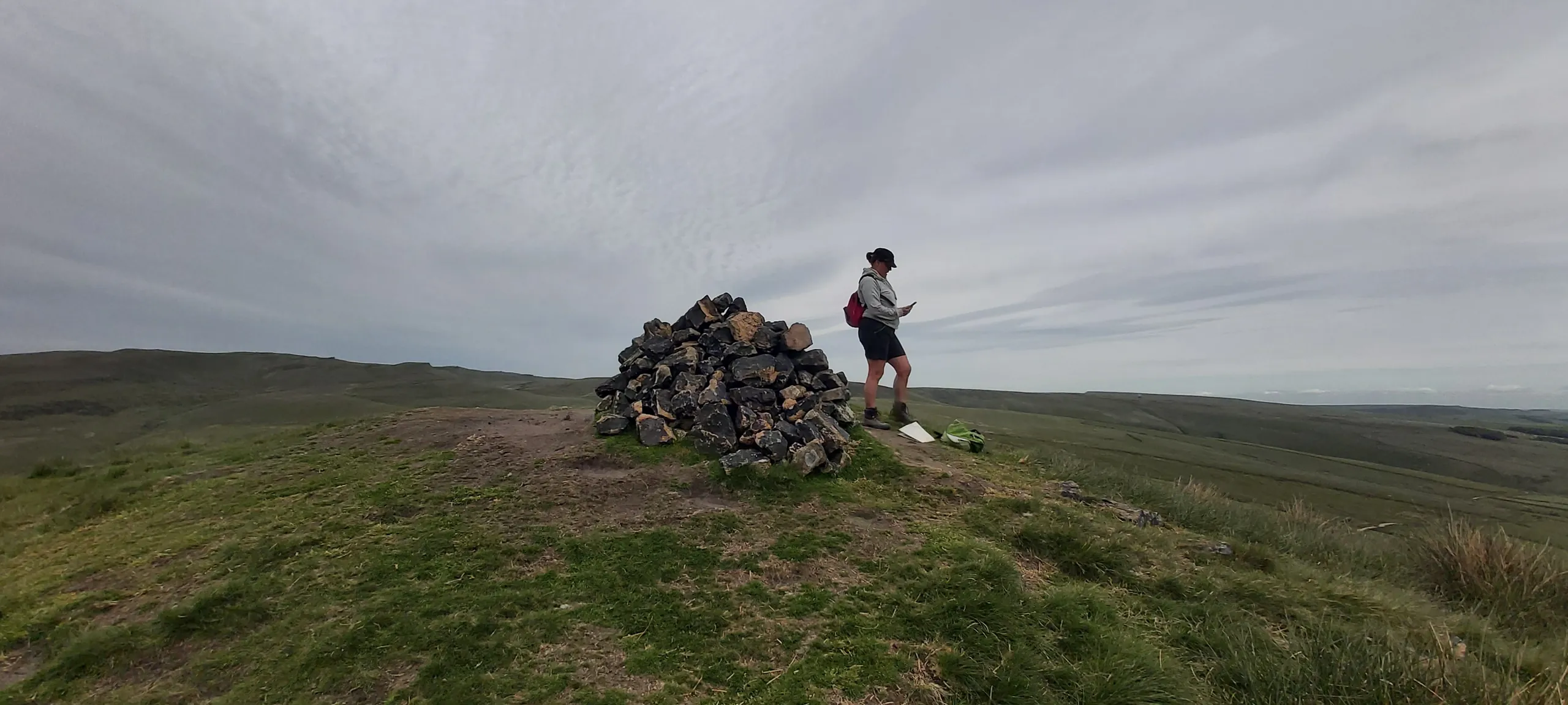
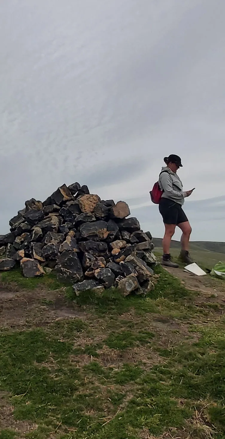
Rising between Hayfield and Chapel-en-le-Frith, South Head is a steep-sided, shapely top with a large cairn on its grassy summit. It pairs with lower Mount Famine just to the north-west, and the Pennine Bridleway skirts its flanks past disused quarries. From the top you look north-east up to the Kinder plateau and east along the ridge to Brown Knoll.
New to the Ethels?Read our guide: What Are The Peak District Ethels?Summit
Large cairn
Rock & Ground
Grassy gritstone hill crossed by drystone walls, with old quarry workings on its slopes.
Summit Weather
Our Route
Distance8.5 mi13.6 km
Ascent510 m1,670 ft
Time4h 15mwalking
Start & FinishSK 0471 8674Circular route, back to the same spot
DirectionsAlso on this route: Mount Famine
Safety: Routes are a guide only. Carry a map and compass and know how to use them, check the weather before you go, and turn back if in doubt. You use this route at your own risk.