

Hill data: The Database of British and Irish Hills v18.6 (CC BY 4.0)Height473 m1,552 ft
Grid RefSK 056 849
OS MapOL1OS Explorer
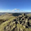
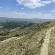
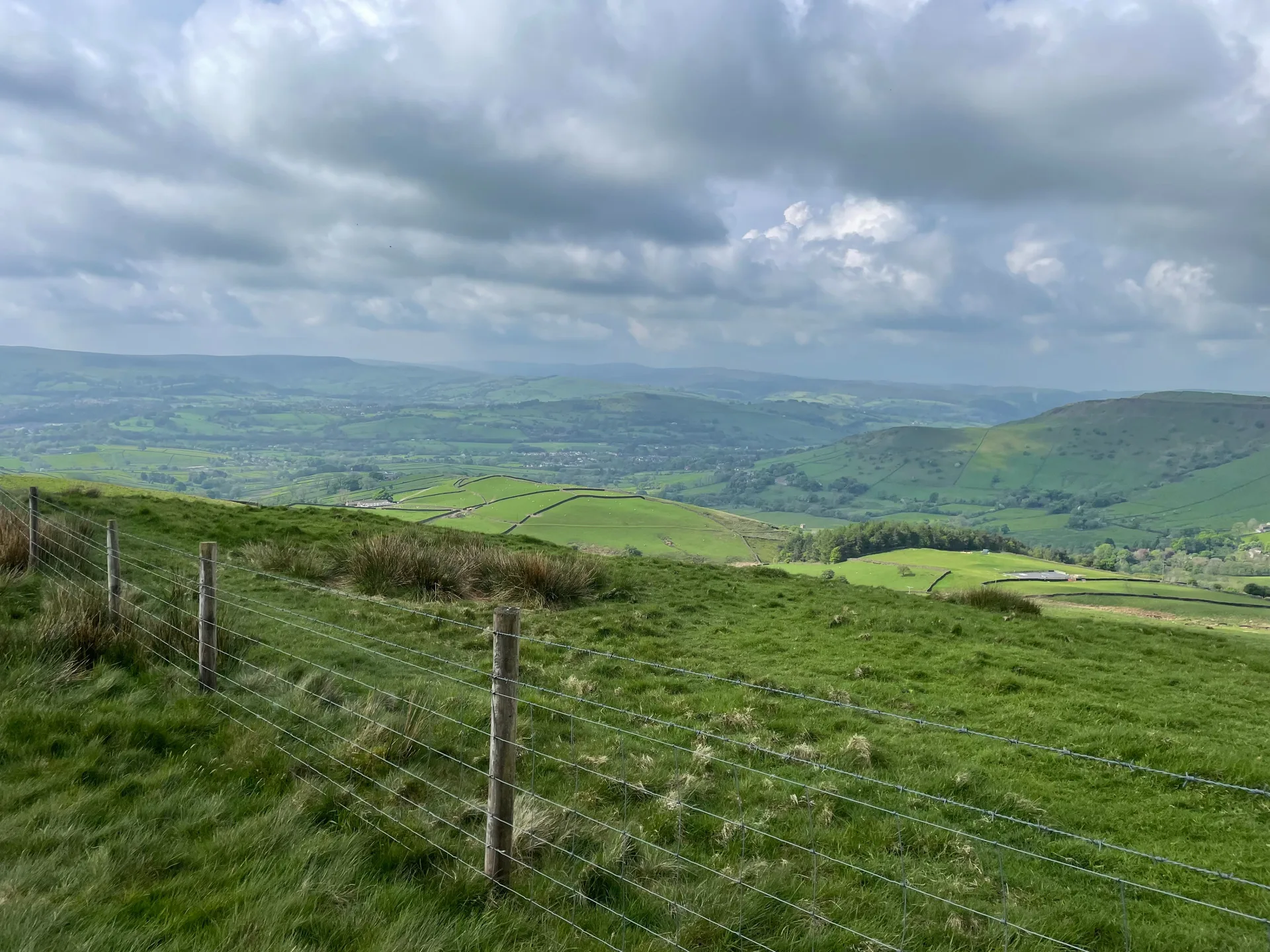
Between Hayfield and Chinley, Mount Famine is a small gritstone hill paired with South Head just to its south-east. Its gloomy name is said to date from the late 18th-century enclosures, when tenant farmers struggled to make a living from this poor land. A Bronze Age burial mound about 20 metres across was spotted on its western side in 2014, and the National Trust has owned the top since 2006.
New to the Ethels?Read our guide: What Are The Peak District Ethels?Summit
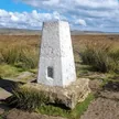
No marker: ground beside path immediately east of fence
Rock & Ground
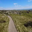
Gritstone hill with rough grass, heather and a rocky western edge.
Summit Weather
Our Route
Distance8.5 mi13.6 km
Ascent510 m1,670 ft
Time4h 15mwalking
Start & FinishSK 0471 8674Circular route, back to the same spot
DirectionsAlso on this route: South Head
Safety: Routes are a guide only. Carry a map and compass and know how to use them, check the weather before you go, and turn back if in doubt. You use this route at your own risk.