

Hill data: The Database of British and Irish Hills v18.6 (CC BY 4.0)Height559 m1,834 ft
Grid RefSJ 994 737
OS MapOL24OS Explorer
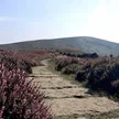
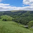
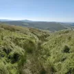
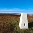
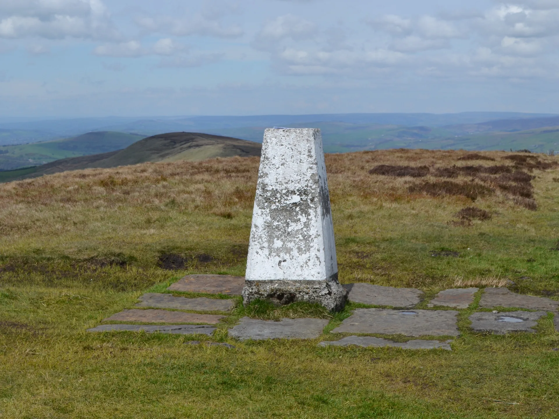
Shining Tor is the highest hill in Cheshire, set on the county boundary with Derbyshire above the Goyt valley. Its long ridge probably stood clear of the ice sheet in the last ice age, so there are no glacial deposits on it. A trig point and wall mark the top, and on clear days you can see Shutlingsloe, the Cheshire Plain and the Jodrell Bank telescopes, with Snowdonia in exceptional conditions.
New to the Ethels?Read our guide: What Are The Peak District Ethels?Summit
No marker: 7 m NNE of trig point
Rock & Ground
Chatsworth Grit sandstone dipping east, blanketed by peat several metres deep.
Also On These Lists
DeweyMarilyn
Summit Weather
Our Route
Distance9.2 mi14.7 km
Ascent540 m1,770 ft
Time4h 35mwalking
Start & FinishSK 0233 7516Circular route, back to the same spot
DirectionsAlso on this route: Cats Tor, Foxlow Edge
Safety: Routes are a guide only. Carry a map and compass and know how to use them, check the weather before you go, and turn back if in doubt. You use this route at your own risk.