

Hill data: The Database of British and Irish Hills v18.6 (CC BY 4.0)Height446 m1,463 ft
Grid RefSK 114 706
OS MapOL24OS Explorer
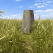
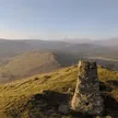
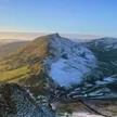
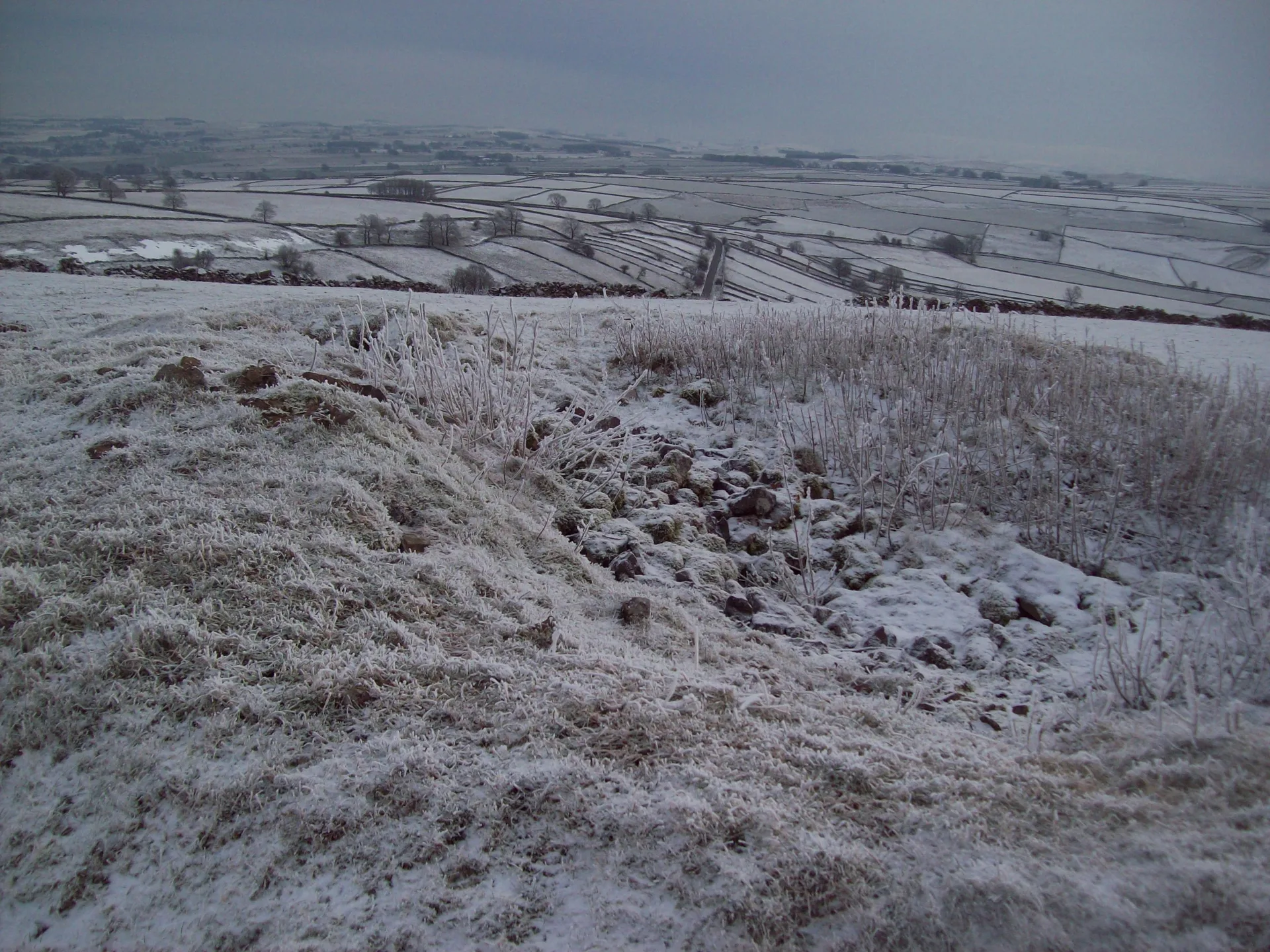
Chelmorton Low rises above Chelmorton village on the limestone plateau, and its top is one of two Bronze Age bowl barrows sitting about 20 m apart. In 1782 a stone cist holding four or five burials was found in the larger mound, and Thomas Bateman dug into the smaller one in 1846, finding flint tools and signs of a cremation. Both mounds were later robbed for stone to build field walls. The summit is on private land.
New to the Ethels?Read our guide: What Are The Peak District Ethels?Summit
Tumulus
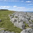
Rock & Ground
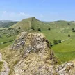
Carboniferous limestone hilltop of grazed grassland and drystone walls.
Summit Weather
Our Route
Distance3.1 mi4.9 km
Ascent130 m430 ft
Time1h 35mwalking
Start & FinishSK 1151 7027Circular route, back to the same spot
DirectionsAlso on this route: Sough Top
Safety: Routes are a guide only. Carry a map and compass and know how to use them, check the weather before you go, and turn back if in doubt. You use this route at your own risk.