


Hill data: The Database of British and Irish Hills v18.6 (CC BY 4.0)Height450 m1,476 ft
Grid RefSK 060 679
OS MapOL24OS Explorer
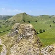
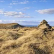
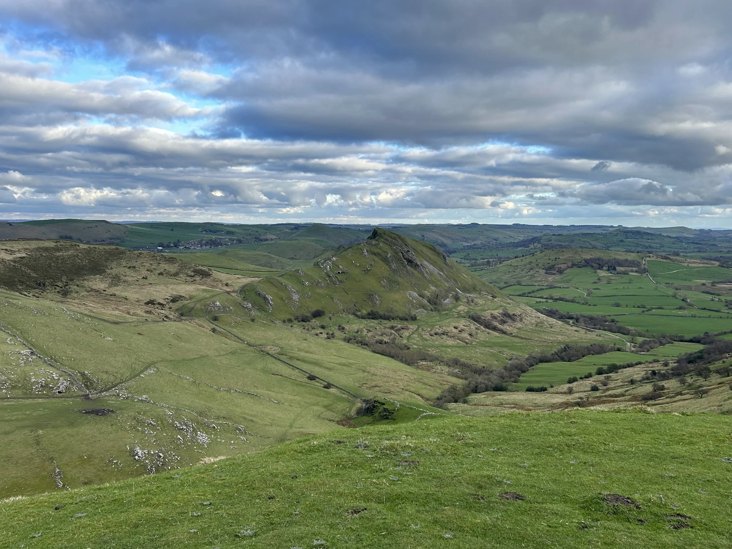
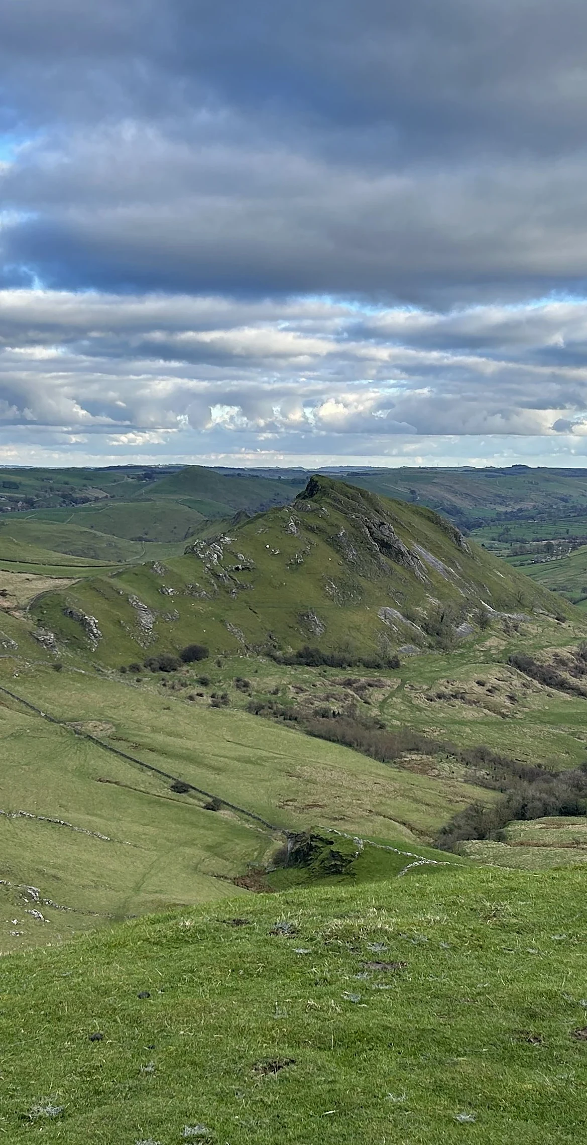
Rising above the hamlet of Hollinsclough, Hollins Hill looks across the upper Dove valley to the jagged crest of Chrome Hill. Its highest point is the rim of a Bronze Age burial mound, a round cairn about 13 metres across that's now a scheduled monument. Thomas Bateman dug into it in 1851 and Micah Salt in 1894, finding cremated human bones in a grave cut into the rock.
New to the Ethels?Read our guide: What Are The Peak District Ethels?Summit
Rim of hollow tumulus
Rock & Ground
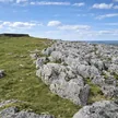
Gritstone hill with grassy slopes; Swallow Brook rises here and runs down to the Dove.
Summit Weather
Our Route
Distance4.7 mi7.6 km
Ascent390 m1,280 ft
Time2h 20mwalking
Start & FinishSK 0653 6649Circular route, back to the same spot
DirectionsAlso on this route: Chrome Hill, Parkhouse Hill
Safety: Routes are a guide only. Carry a map and compass and know how to use them, check the weather before you go, and turn back if in doubt. You use this route at your own risk.