

Hill data: The Database of British and Irish Hills v18.6 (CC BY 4.0)Height411 m1,348 ft
Grid RefSK 021 920
OS MapOL1OS Explorer
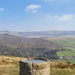
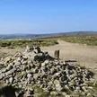
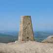
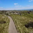
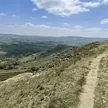
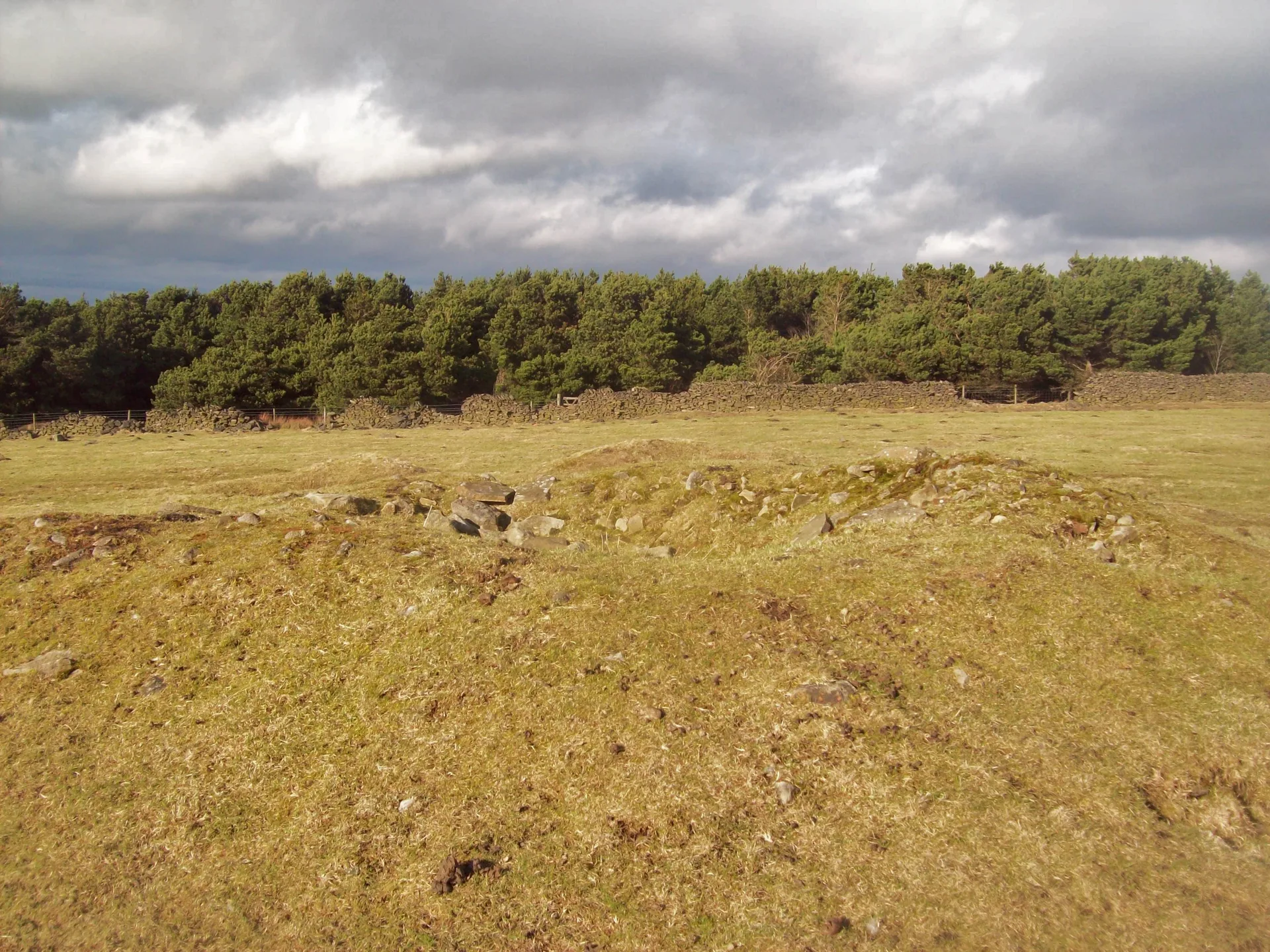
Cown Edge is a gritstone scarp on the hills above Charlesworth and Rowarth, with a small cairn on its grassy top. Along its face are three disused quarries, worked from at least the 1800s for buff Rough Rock that split into roofing slates and flags. Modern carvings scratched into the old faces include crosses and what may be a Calvary figure. The edge also gives its name to the Cown Edge Way, a 27 km walking route from Hazel Grove to Gee Cross.
New to the Ethels?Read our guide: What Are The Peak District Ethels?Summit
Small cairn
Rock & Ground
Rough Rock gritstone edge, quarried along its face, with rough grazing and moor on top.
Summit Weather
Our Route
Distance6.7 mi10.7 km
Ascent320 m1,050 ft
Time3h 25mwalking
Start & FinishSK 0233 9098Circular route, back to the same spot
DirectionsSafety: Routes are a guide only. Carry a map and compass and know how to use them, check the weather before you go, and turn back if in doubt. You use this route at your own risk.