


Hill data: The Database of British and Irish Hills v18.6 (CC BY 4.0)Height404.1 m1,326 ft
Grid RefSJ 933 676
OS Map268OS Explorer
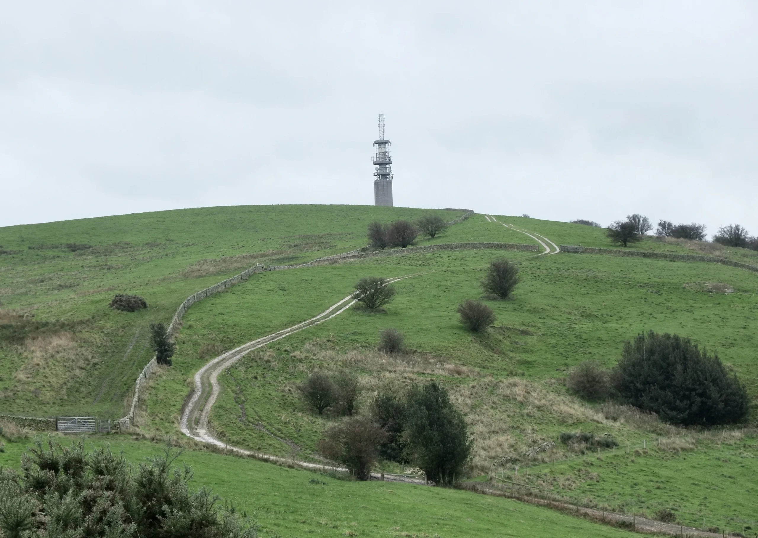
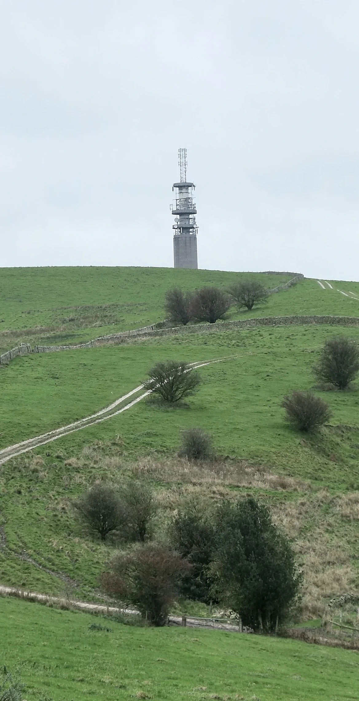
Better known to many as Sutton Common, Croker Hill sits on the western rim of the Peak District above Macclesfield and Congleton. Its crown is taken up by the Sutton Common BT tower, a concrete telecoms mast built in the 1960s, and the true high point lies inside the fenced compound. Walkers usually settle for the highest ground on the northern fence line. On a clear day the view runs out across the Cheshire Plain to Manchester, and Snowdon has been seen from here.
New to the Ethels?Read our guide: What Are The Peak District Ethels?Summit
Ground in compound NNE of mast
Rock & Ground
Rounded grassy hilltop, with pasture and rough grazing on its flanks.
Summit Weather
Our Route
Distance5.3 mi8.6 km
Ascent260 m850 ft
Time2h 45mwalking
Start & FinishSJ 9176 6596Circular route, back to the same spot
DirectionsSafety: Routes are a guide only. Carry a map and compass and know how to use them, check the weather before you go, and turn back if in doubt. You use this route at your own risk.