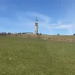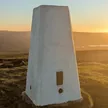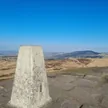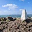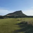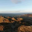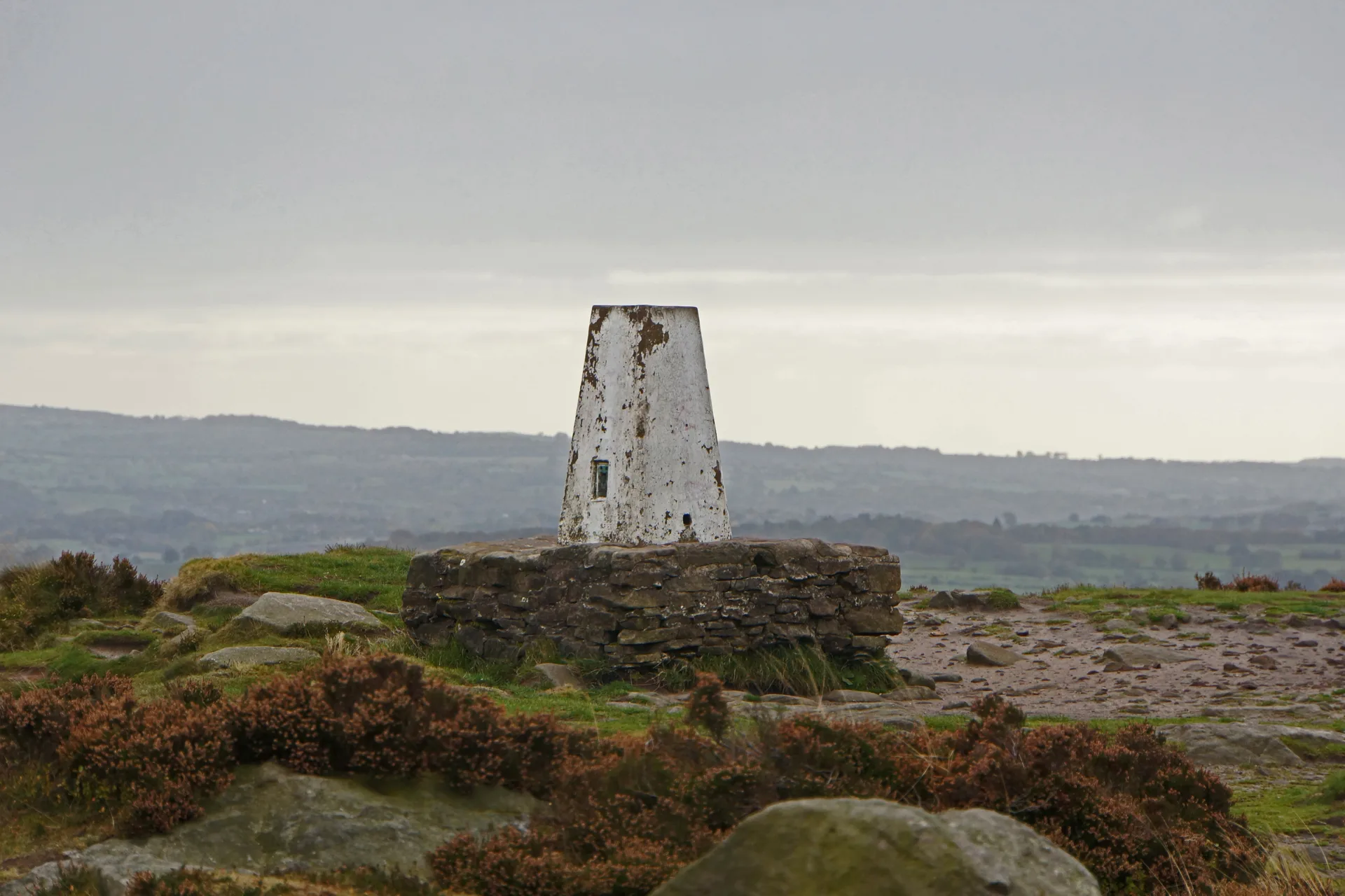


Also called Bosley Cloud, this abrupt hill on the Cheshire and Staffordshire border has a heathery summit plateau owned by the National Trust, where the highest rock sits just above a trig point on a plinth. It's famous for a double sunset: around midsummer, seen from Leek, the sun sets behind the hill, reappears on its northern slope and sets again, as Robert Plot recorded in 1686. The view takes in Congleton, Macclesfield and the Cheshire Plain towards Manchester.
New to the Ethels?Read our guide: What Are The Peak District Ethels?Rock
Coarse, pebbly Chatsworth Grit capping softer mudstones, with heather and a steep rocky edge.
Marilyn
Summit Weather
Our Route
Safety: Routes are a guide only. Carry a map and compass and know how to use them, check the weather before you go, and turn back if in doubt. You use this route at your own risk.