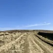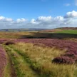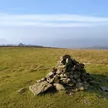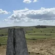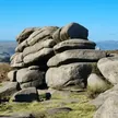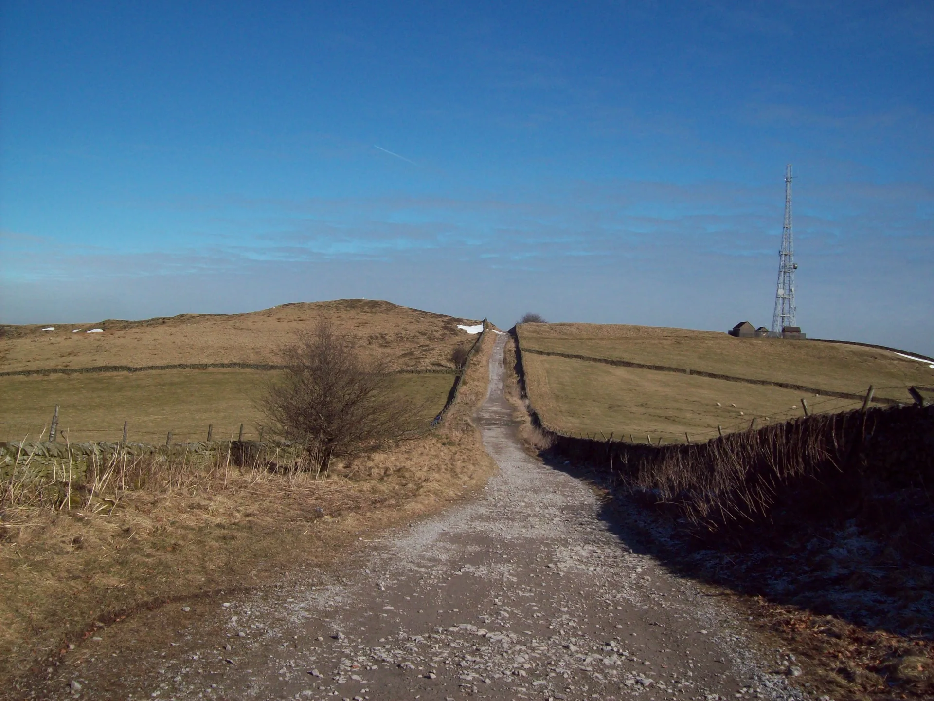


Sir William Hill, with its tall radio mast, sits at the northern edge of Eyam Moor. Nobody is sure which Sir William it's named after; candidates include several Cavendishes and Sir William Savile, lord of the manor of Eyam. The road over the top was an old packhorse route that became the Sheffield to Buxton turnpike in 1758, and the trig point looks out over Froggatt Edge, Win Hill, Mam Tor and Kinder Scout.
New to the Ethels?Read our guide: What Are The Peak District Ethels?Ground 8 m SSW of trig point
Gritstone moor of heather and rough grass, scattered with prehistoric cairns.
HuMP
Summit Weather
Our Route
Also on this route: Burton Bole (Shatton Moor), Durham Edge (Abney Moor)
Safety: Routes are a guide only. Carry a map and compass and know how to use them, check the weather before you go, and turn back if in doubt. You use this route at your own risk.