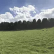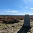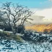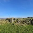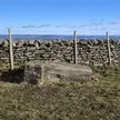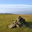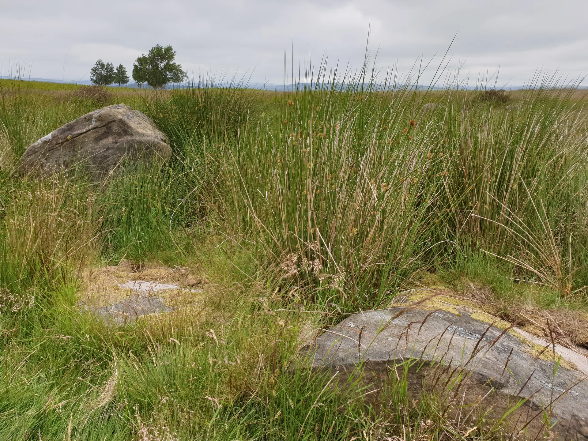


Harland Edge is a low gritstone escarpment running across Beeley Moor, on the high ground east of Chatsworth. Its highest point is an unremarkable stone near a grouse butt. Not far along the crest is Hob Hurst's House, an unusual square burial cairn inside a ditch and bank. Thomas Bateman dug into it in 1853 and found a stone cist holding burnt bones, charcoal and burnt lead ore.
New to the Ethels?Read our guide: What Are The Peak District Ethels?Stone about 5 m west of grouse butt
Gritstone edge on the East Moors, under heather managed for grouse.
Summit Weather
Our Route
No path for 1.8 kmAbout 1.8 km of this route has no path on the map (longest stretch 1.8 km). Expect rough, pathless ground. You will need a map and compass and the skills to use them.
Safety: Routes are a guide only. Carry a map and compass and know how to use them, check the weather before you go, and turn back if in doubt. You use this route at your own risk.