


Hill data: The Database of British and Irish Hills v18.6 (CC BY 4.0)Height476 m1,562 ft
Grid RefSK 153 853
OS MapOL1OS Explorer
Lose Hill is the eastern end of the Great Ridge, which runs over Back Tor and Hollins Cross to Mam Tor, and it faces Win Hill across the River Noe. In 1945 ramblers gave part of the hill to the access campaigner G. H. B. Ward, who passed it to the National Trust; it's still called Ward's Piece. The tale of a battle between the two hills has no basis in history, and 'Lose' may come from an Old English word for pigsties.
New to the Ethels?Read our guide: What Are The Peak District Ethels?Summit
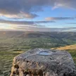
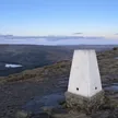
Ground a few metres from viewfinder
Rock & Ground
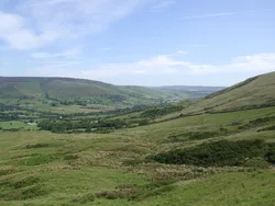
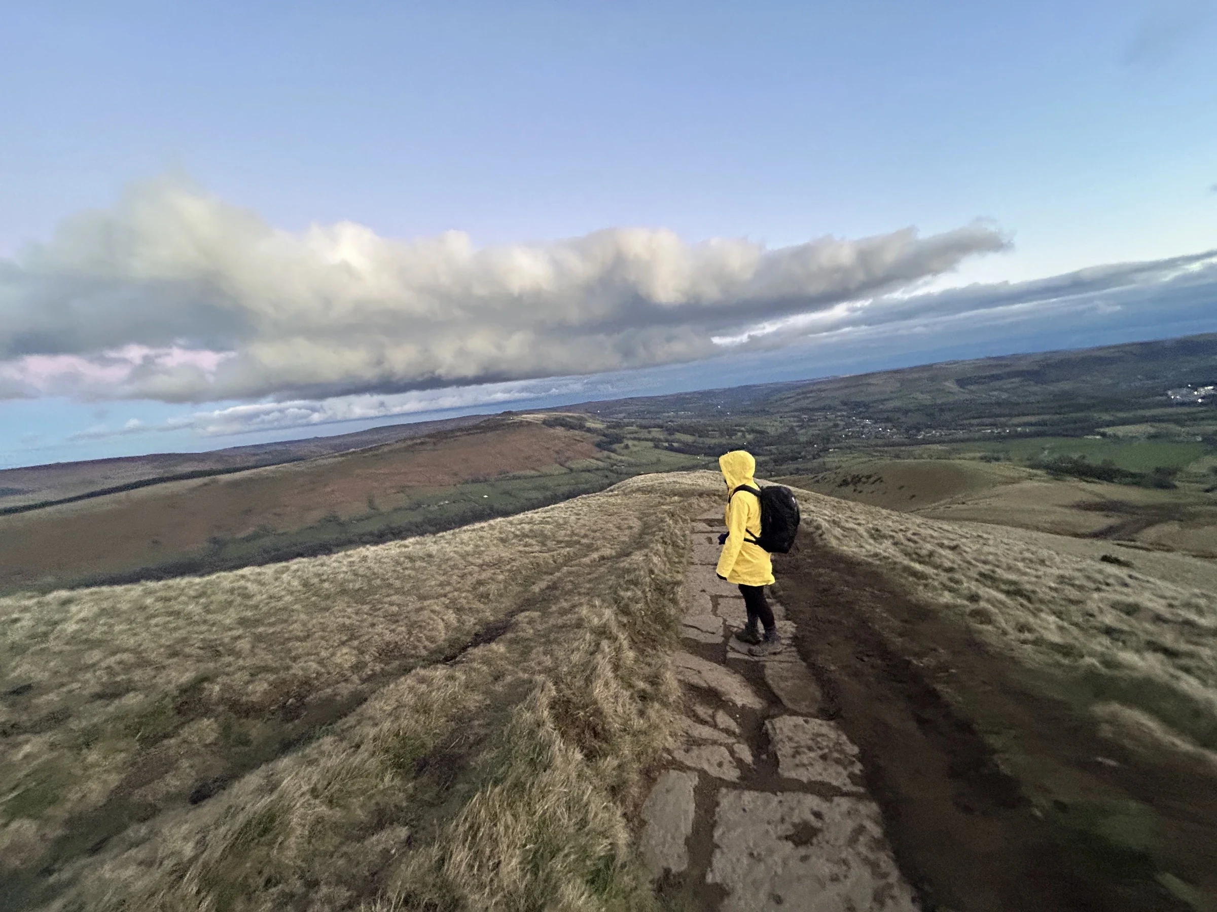
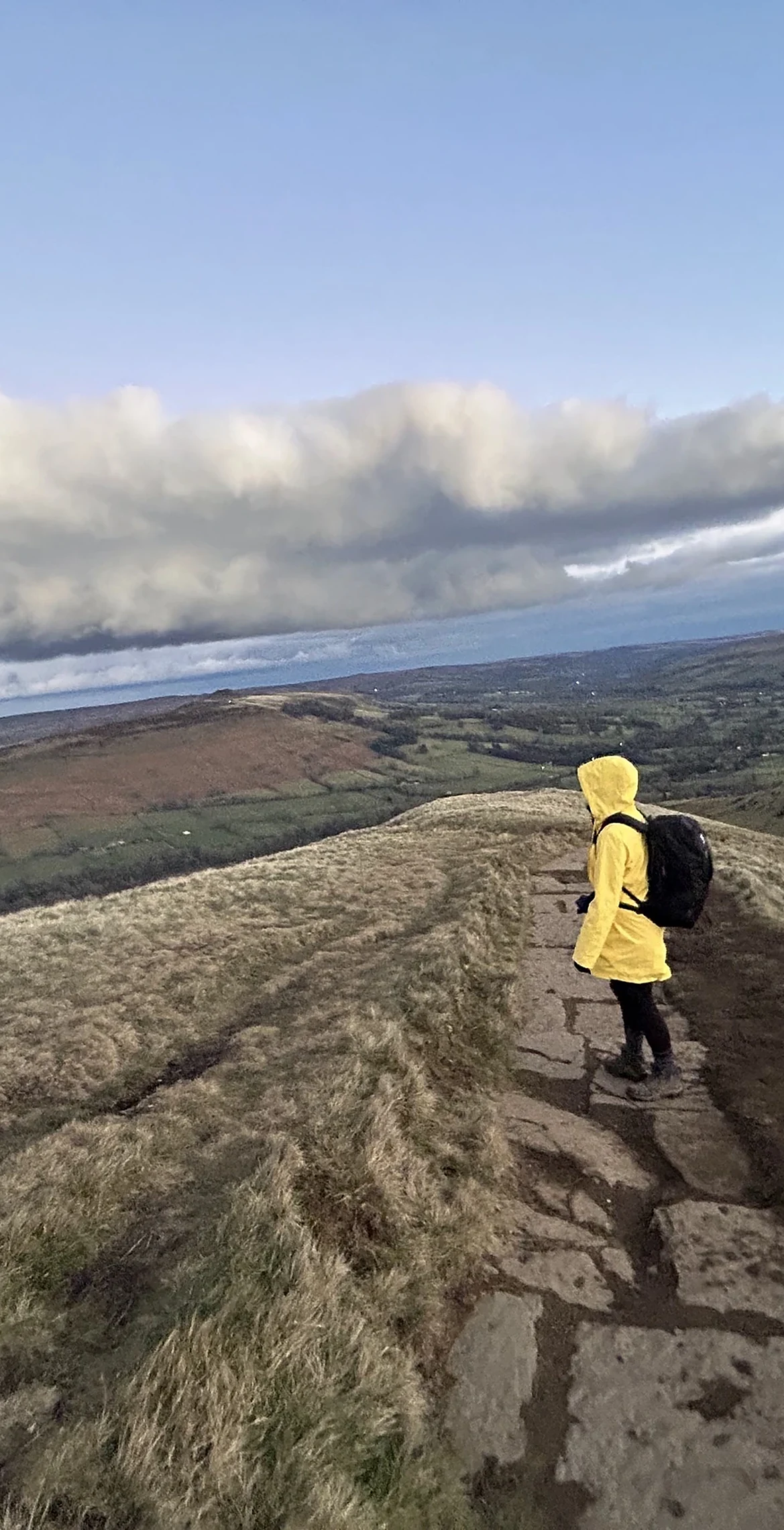
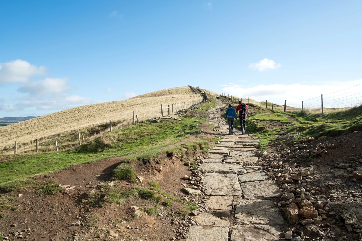
Grassy shale and sandstone hill with steep slopes and a well-worn path to the top.
Summit Weather
Our Route
Distance5.4 mi8.7 km
Ascent410 m1,350 ft
Time2h 45mwalking
Start & FinishSK 1242 8318Circular route, back to the same spot
DirectionsAlso on this route: Mam Tor
Safety: Routes are a guide only. Carry a map and compass and know how to use them, check the weather before you go, and turn back if in doubt. You use this route at your own risk.