



Contents
Overview
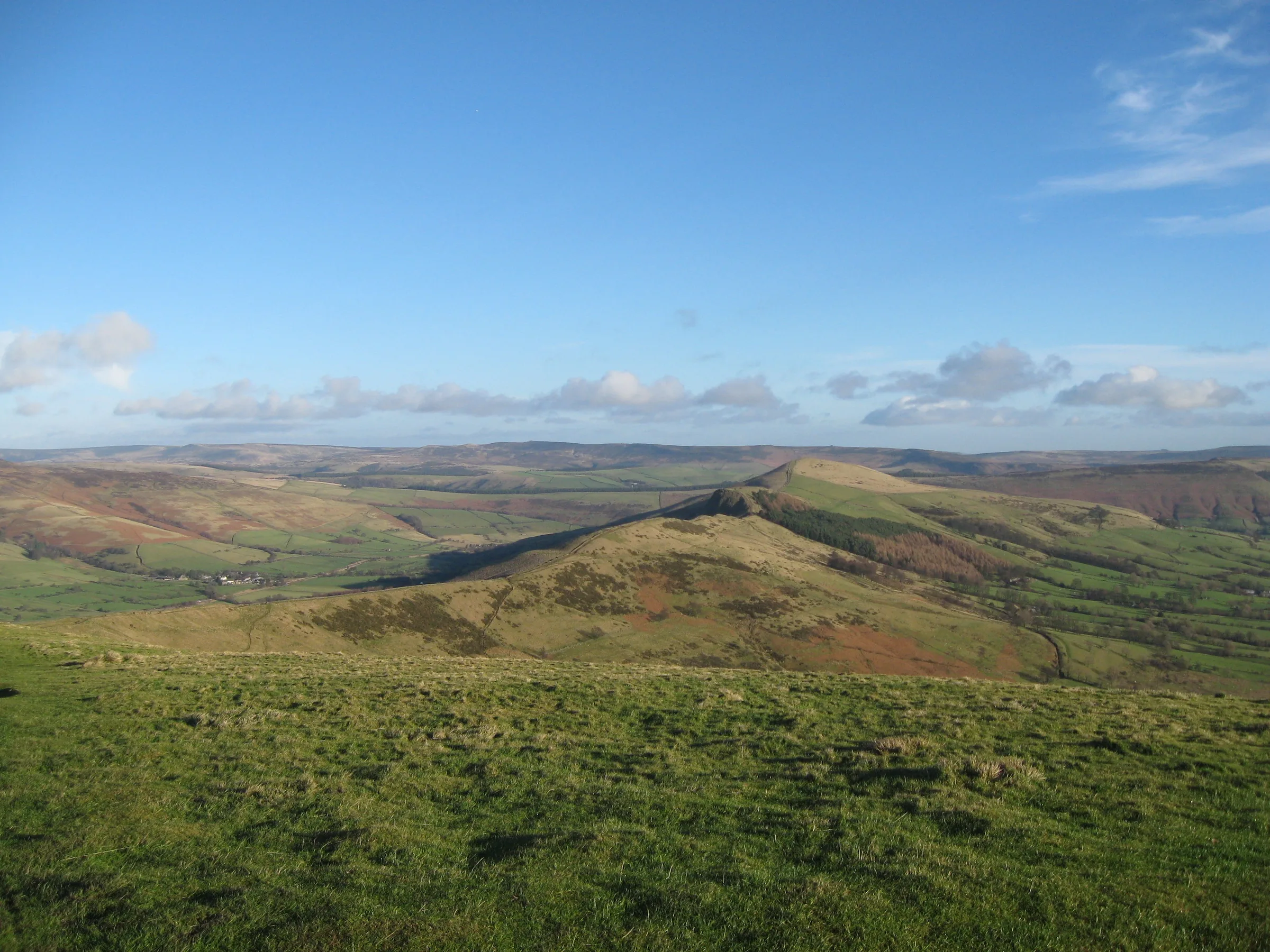
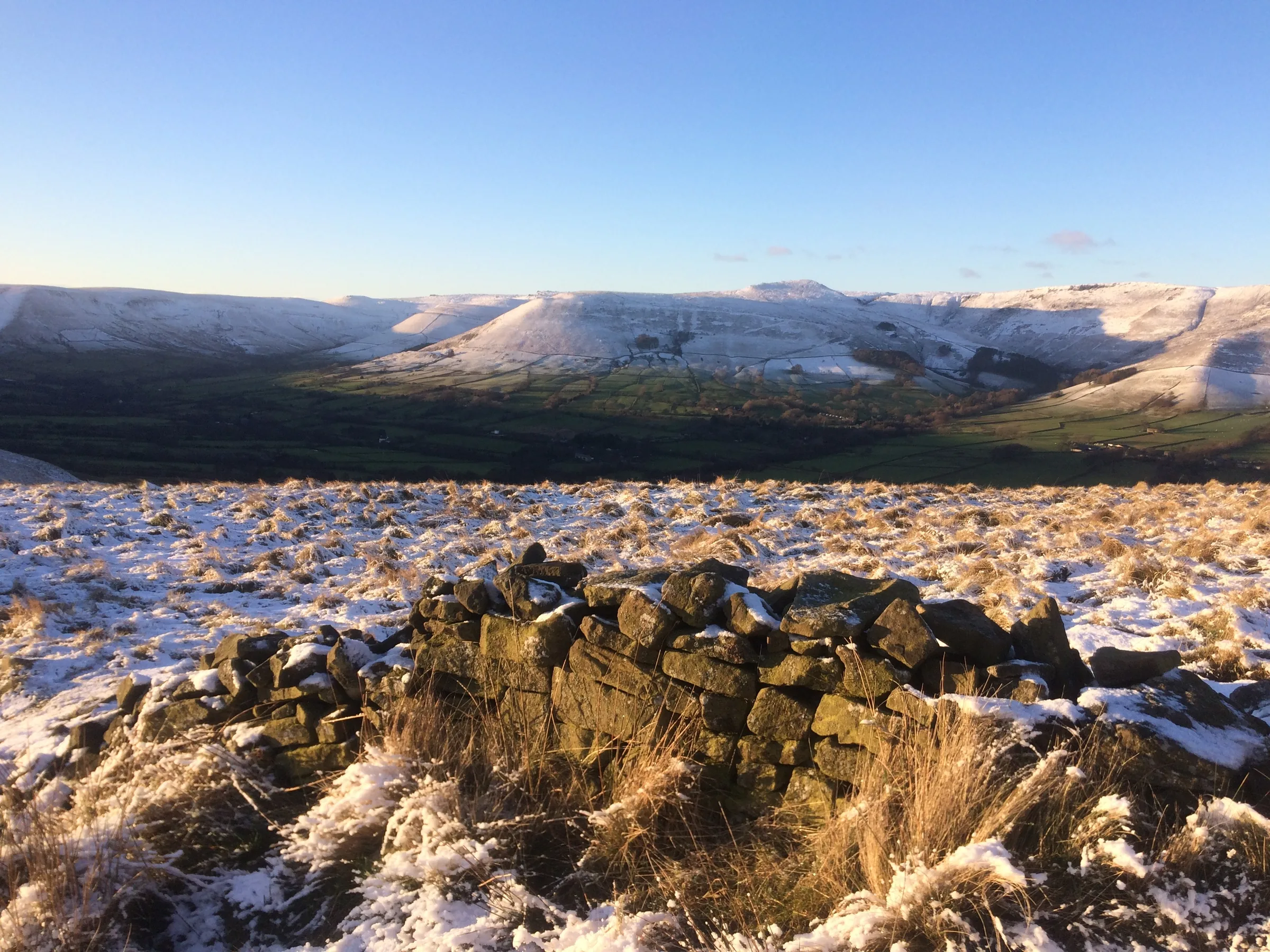
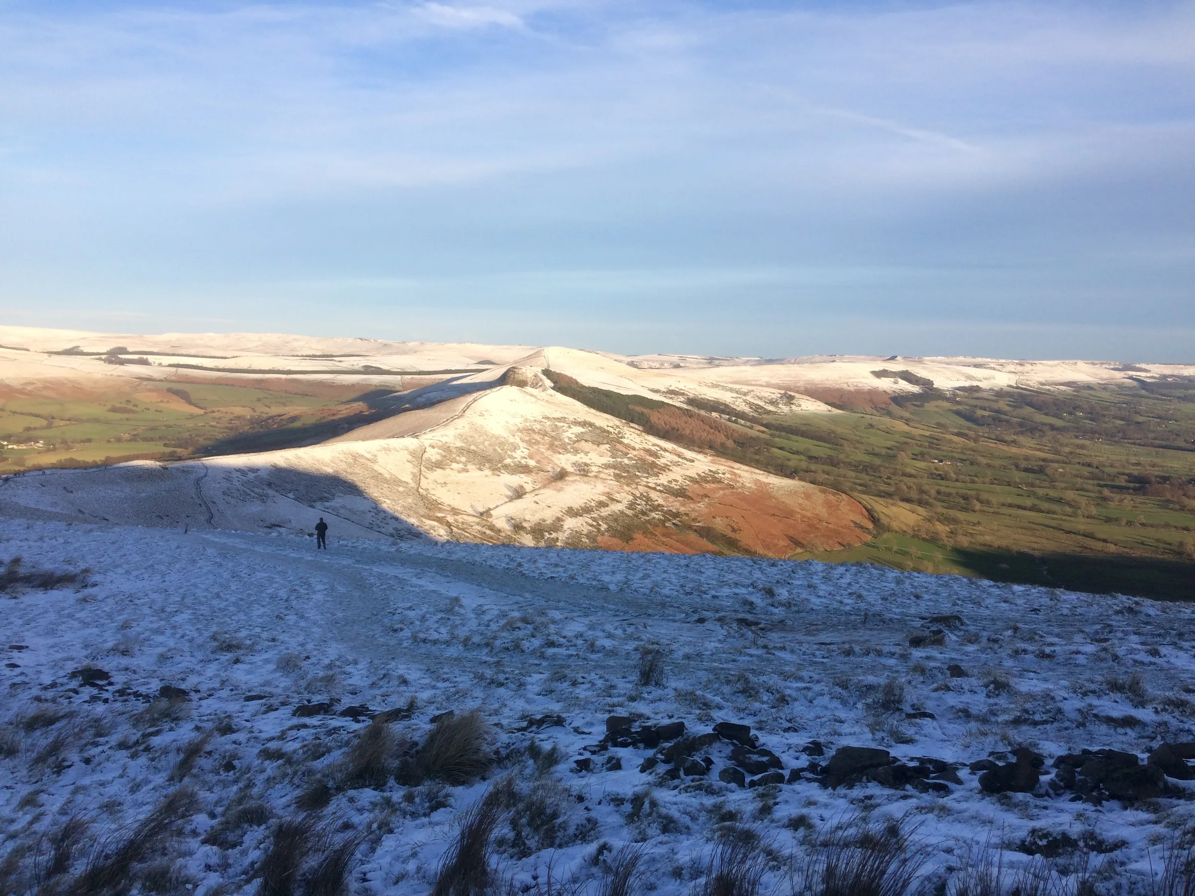
Walk the Great Ridge above Castleton and you have two different Peak Districts on either side of you: the dark sandstone moors of the Dark Peak and the Vale of Edale to the north, and the pale limestone of the White Peak and the Hope Valley to the south. At the western end stands Mam Tor, whose name means "mother hill". Its top is ringed by the banks of a hillfort where people were living from around 1200 BC, and its east face is so prone to landslips that it is also known as the Shivering Mountain. At the eastern end is Lose Hill, facing Kinder Scout across the valley.
From the car park the walk heads north out of the village along Hollowford Road, crosses fields past the Losehill Hall youth hostel, then climbs steeply north to the top of Lose Hill. From there you follow the ridge west, over the crag of Back Tor and down to Hollins Cross, the lowest point of the ridge, before a gentler climb on a paved path to the summit of Mam Tor. You come down the south side to the road near Mam Nick, cross to the top of Winnats Pass and follow the narrow road down through the limestone gorge to Speedwell Cavern, where a footpath brings you back into Castleton. This walk takes in two of the Peak District's Ethels: Lose Hill and Mam Tor. Find all 95 on our Ethels map.
Go prepared, stay safe,
and enjoy the hike!
Key Info
Crowds
Very High
The Great Ridge is one of the busiest walks in the Peak District, drawing hundreds of thousands of visitors a year. Mam Tor summit is the busiest part, as it is a short walk from the nearby road car parks. Timing makes a big difference: start early or go later in the day and the ridge can feel very different.
When it gets busy
- Weekends, bank holidays and sunny days, when Castleton and Mam Tor are known for parking problems
- Mam Tor summit, which is a short climb from the Mam Nick car park
- Mam Nick and other nearby car parks can fill by 9AM at peak times
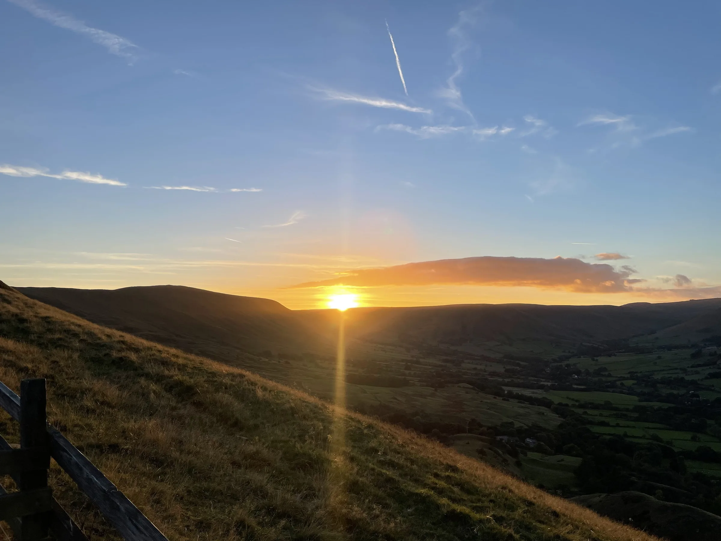
- Clear summer sunsets, which draw a crowd to Mam Tor summit
- Sunrise on a fine weekend can be busy too, with around 200 people watching on one reported morning
For a quieter walk
- Start from Castleton and climb Lose Hill first, as the walk does, so you reach Mam Tor later
- Go on a weekday rather than a weekend or bank holiday
- Like most popular Peak District walks, it is usually quieter later in the day once the day visitors head home
- If you go for sunset, the summit may still be busy on a clear summer evening, but the rest of the ridge is often much quieter
- Arrive early if you want a space, as nearby car parks can fill by 9AM at peak times
- Grey or showery days and the winter months are usually much quieter than sunny summer weekends
Our crowd rating is for a typical sunny weekend in spring or summer, in the middle of the day. Timing makes a big difference, so even a busy walk can be quiet early, late or midweek.
The Route
Disclaimer: Route information and GPX files are provided for general guidance only. Conditions can change, so always use your own judgement and navigate responsibly. See our Terms of Use & Disclaimer for more information.
Route Guide
- 1
Out of Castleton1.0 mi · 25m up · 10m downLeave the car park and head north out of the village along Hollowford Road. Where the lane ends, follow the field paths north-east past the Losehill Hall youth hostel and Fields Farm to the foot of Lose Hill.
- 2
Climb Lose Hill1.0 mi · 250m upThis is the big climb of the day: about 250m of ascent in a mile, heading north up the hillside to the top of Lose Hill. From the summit you can see across the Vale of Edale to Kinder Scout, and back along the whole ridge to Mam Tor.
- 3
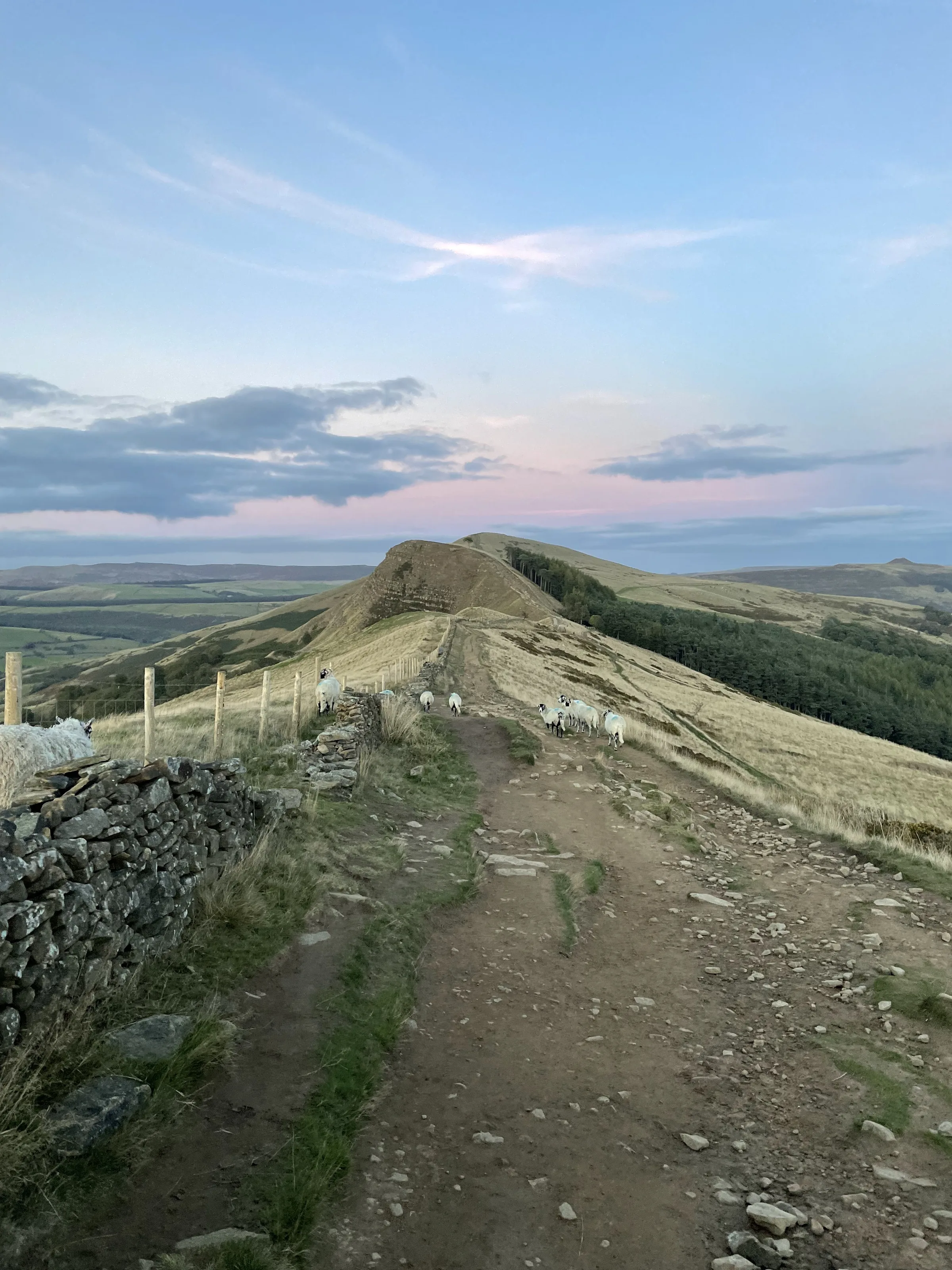
Along the Great Ridge1.2 mi · 30m up · 105m downTurn west and follow the ridge path over Back Tor. The drop off Back Tor is steep and eroded, then the path runs on along the crest to Hollins Cross, the dip in the middle of the ridge where paths come up from Castleton and Edale.
- 4
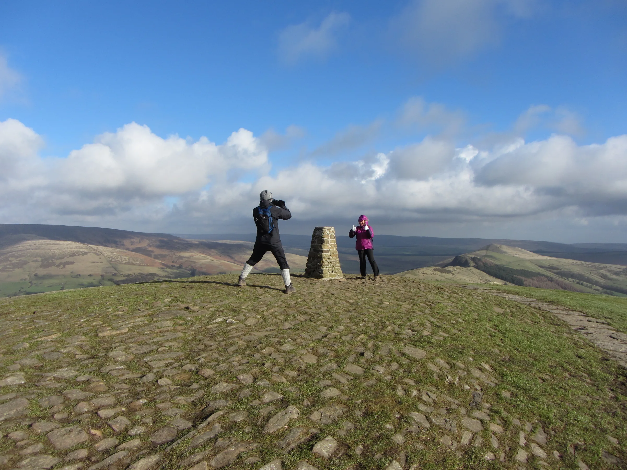
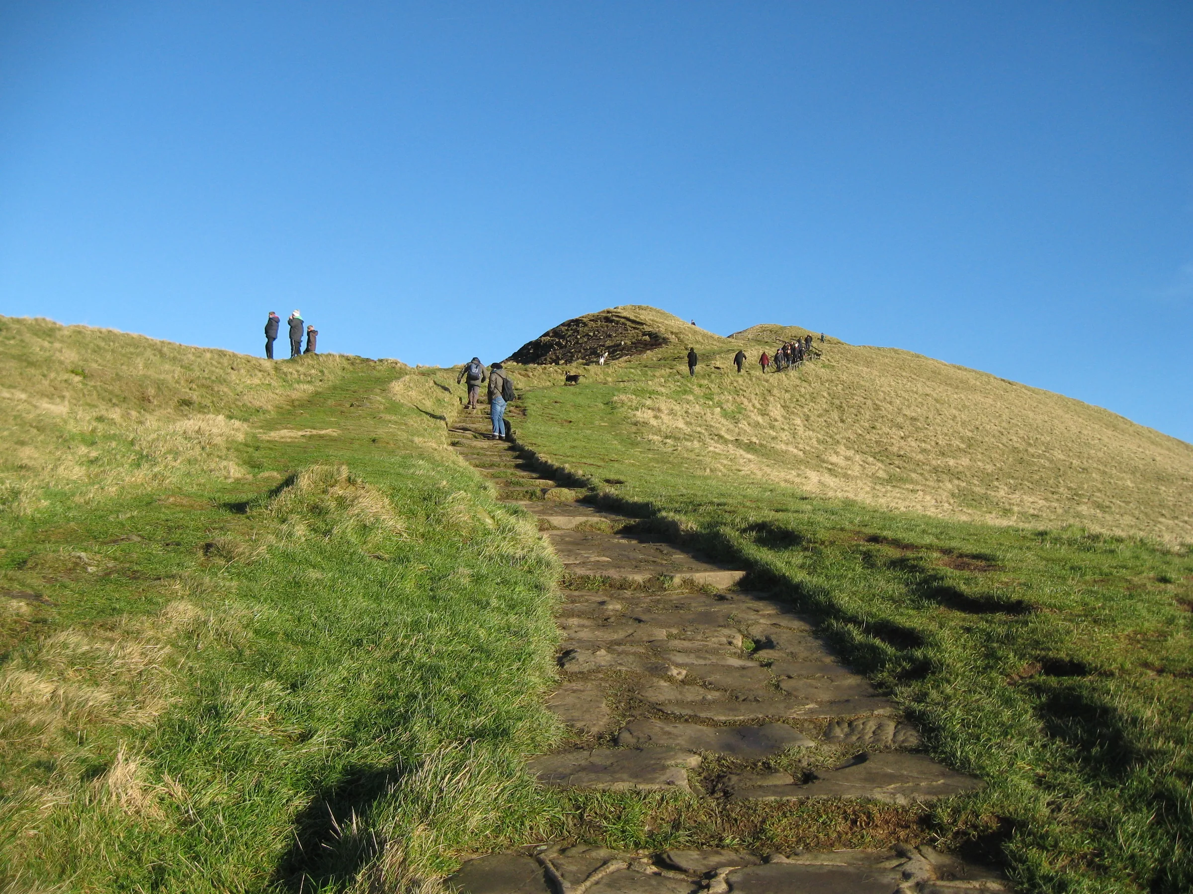
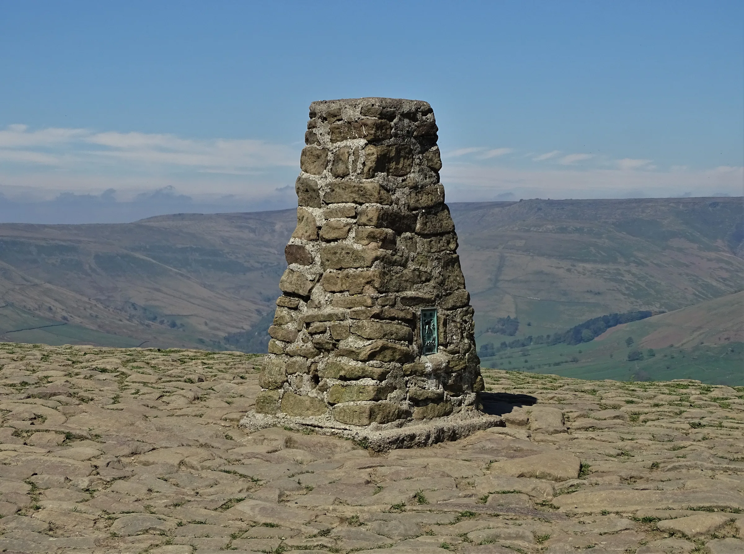
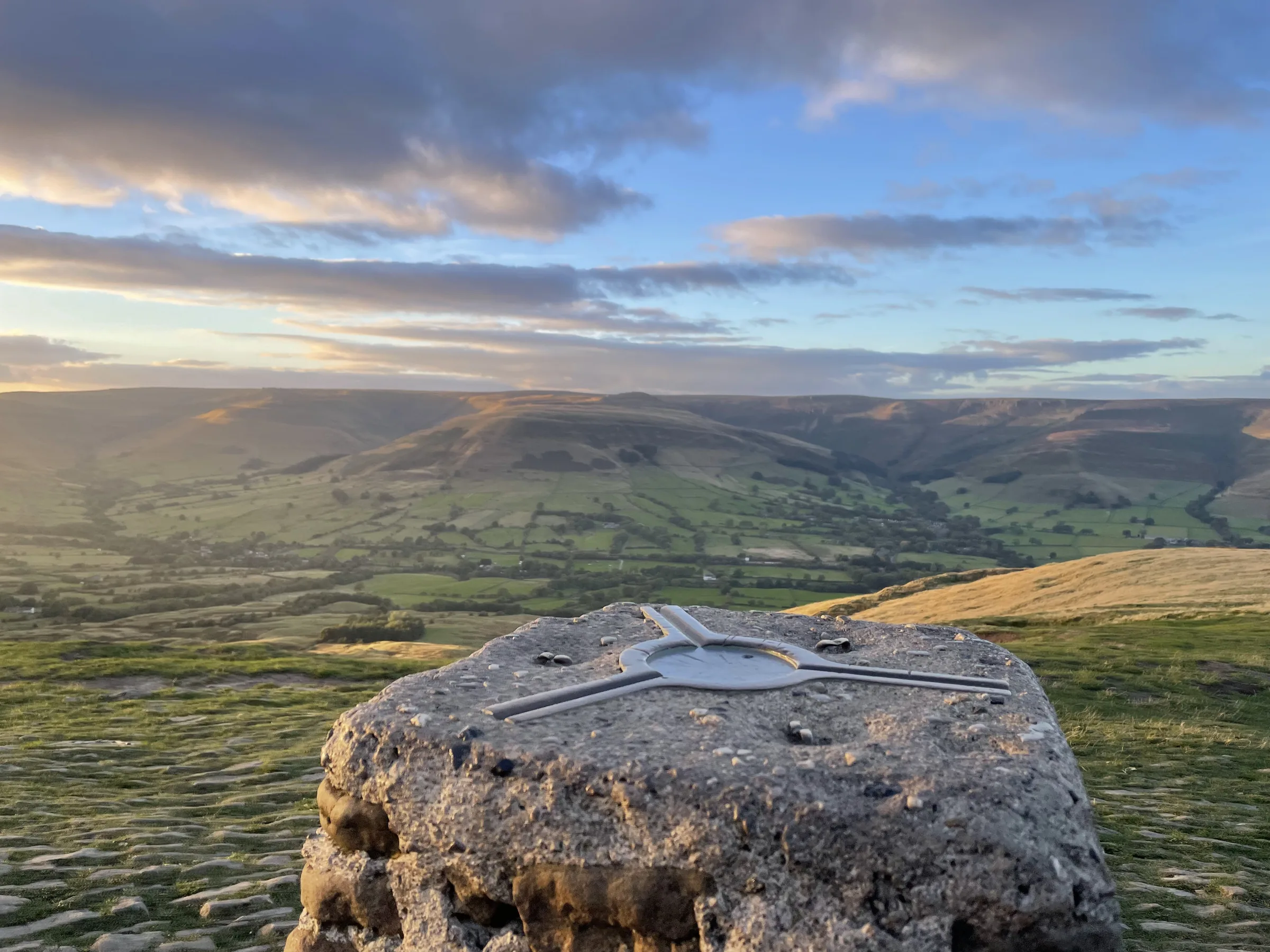
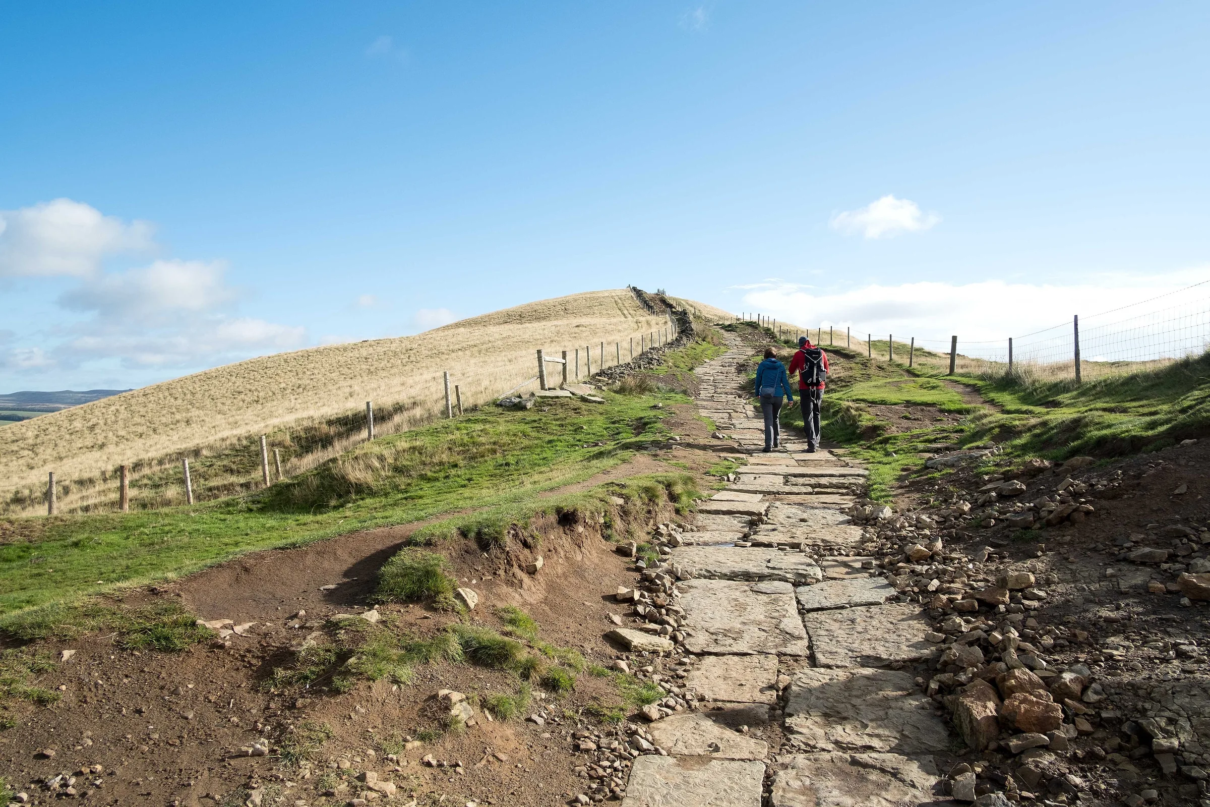
Up to Mam Tor1.0 mi · 130m up · 20m downFrom Hollins Cross a paved path climbs gently south-west along the ridge to the summit of Mam Tor and its trig point, crossing the old banks of the hillfort on the way.
- 5
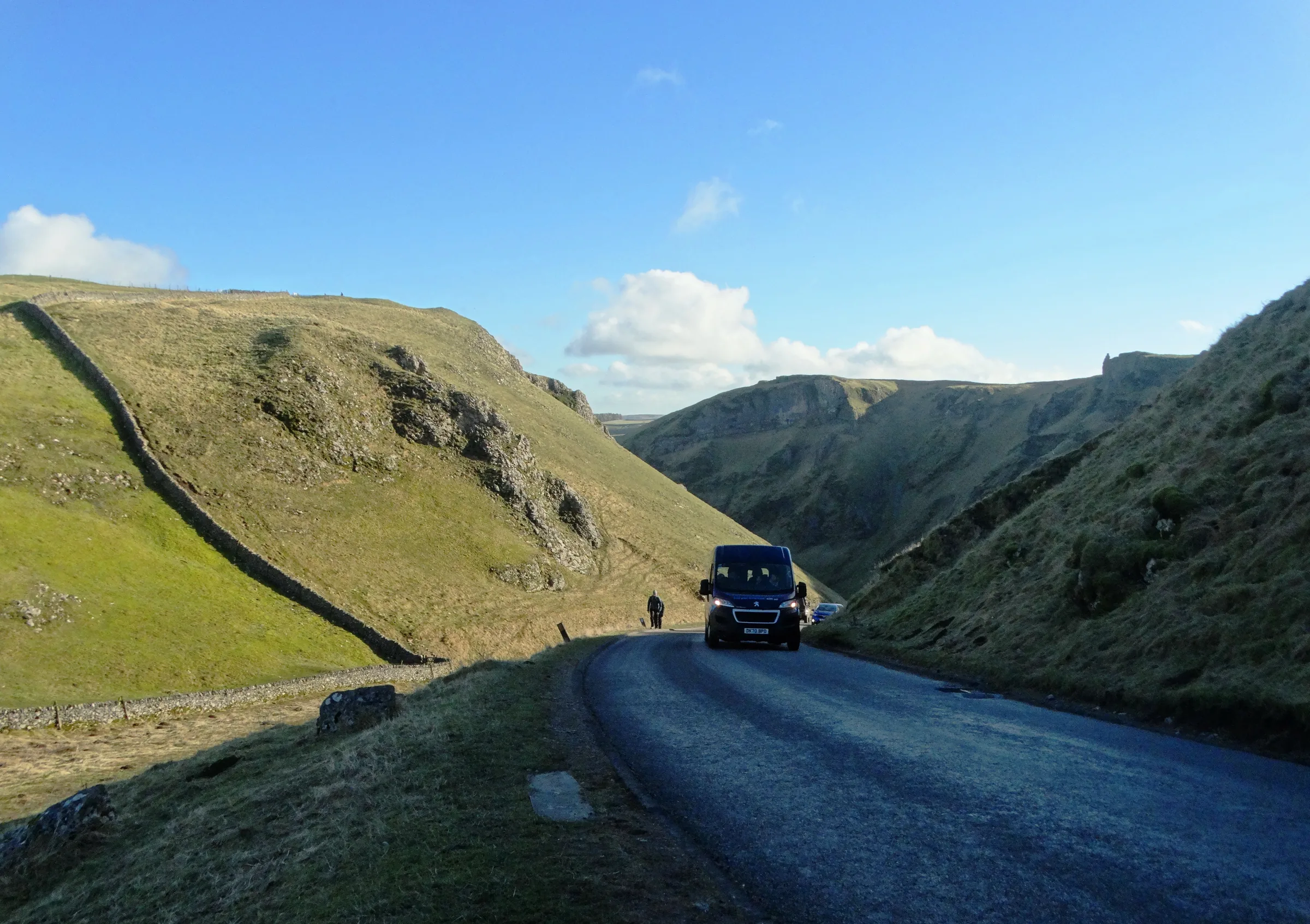
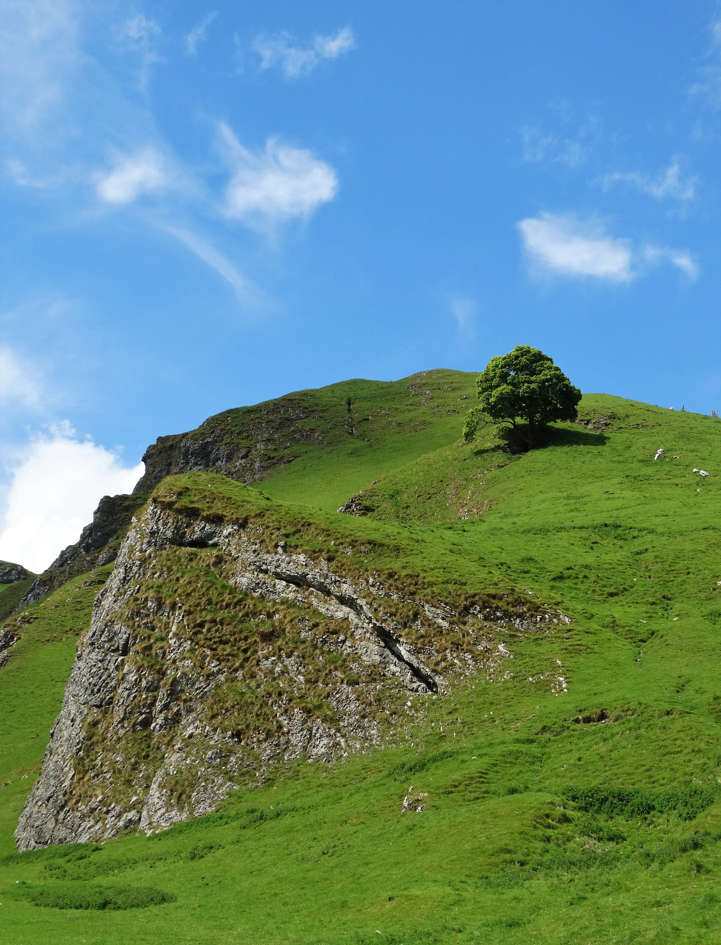
Down Winnats Pass1.5 mi · 10m up · 260m downDrop off the south side of Mam Tor to the road near Mam Nick, then cross towards the top of Winnats Pass. Follow the road down through the steep limestone gorge, keeping to the side for traffic, to Speedwell Cavern at the bottom.
- 6
Back to the Village0.8 mi · 15m up · 65m downFrom Speedwell Cavern take the footpath east along the foot of the hills into Castleton, then walk through the village past the Market Place and back to the car park.
Use the route on OS Maps, AllTrails or Komoot to navigate on the day; this guide is for planning.
Parking
The walk starts from the main car park on Cross Street in Castleton (S33 8WH), next to the Peak District National Park Centre. It is run by High Peak Borough Council and has 133 car spaces and 8 disabled spaces. Charges apply 24 hours a day, every day: £1.80 for up to 1 hour, £2.90 for up to 2 hours, £4.50 for up to 4 hours, £6.80 for over 4 hours (up to 10 hours) or £7.90 for 24 hours, so for this walk get the over 4 hours ticket. Pay with coins at the machines, which don't give change, or with the PayByPhone app. There are public toilets at the car park. Check the latest prices here.
*Prices correct at time of writing; check before you travel.
Facilities & Hospitality
Public toilets run by High Peak Borough Council, next to the National Park Centre at the start of the walk.
The Peak District National Park Centre beside the car park has a café. The centre is open daily from 10AM to 4PM.
A traditional village inn on How Lane with homemade food served daily and 10 en suite rooms. Walkers are welcome, and dogs are allowed in the bar but not in the restaurant.
Weather
Hike Videos
Note: Videos are made by other walkers, not The Lost Peak. They may not follow this exact route, and paths, conditions and facilities may have changed since filming.
Photo Gallery
Photos
Photo credits
Photos without a credit are our own. These are used under Creative Commons licences; thank you to the photographers.
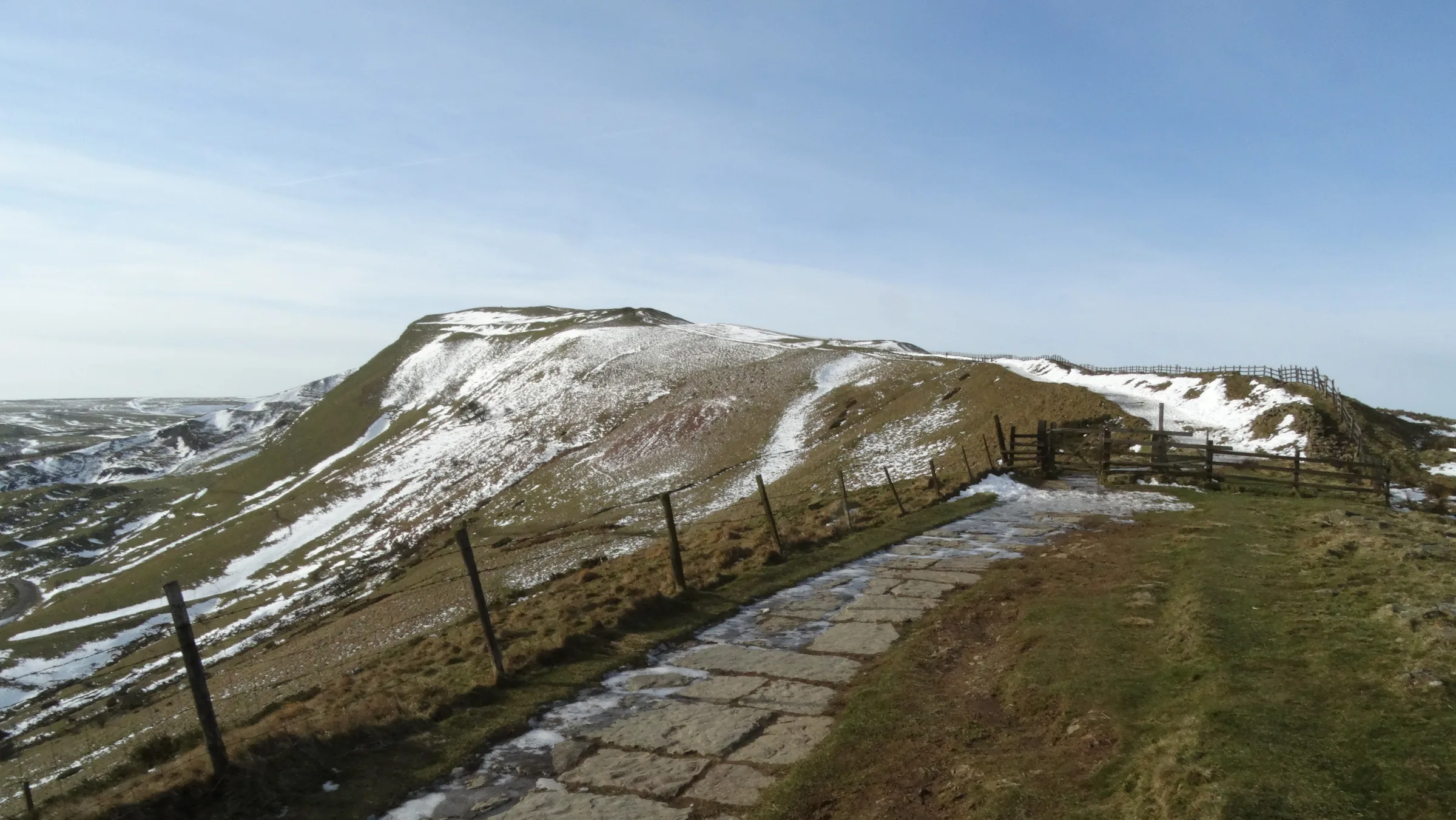
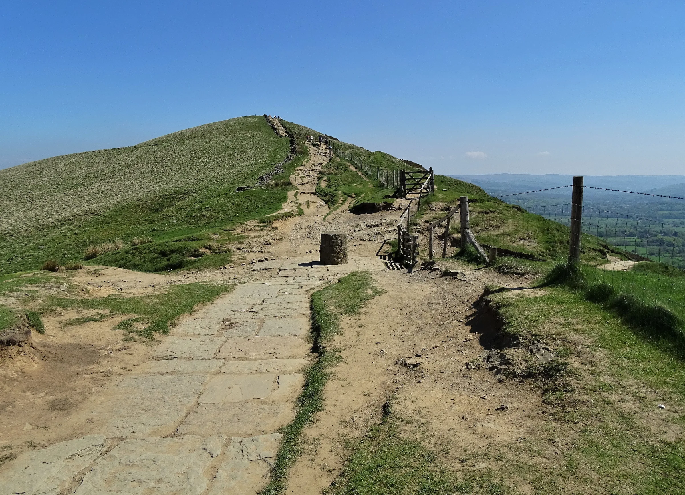
 Heading east at Hollins CrossHero photo · by Jeff Buck, Wikimedia Commons (Geograph)Original photoCC BY-SA 2.0 licence
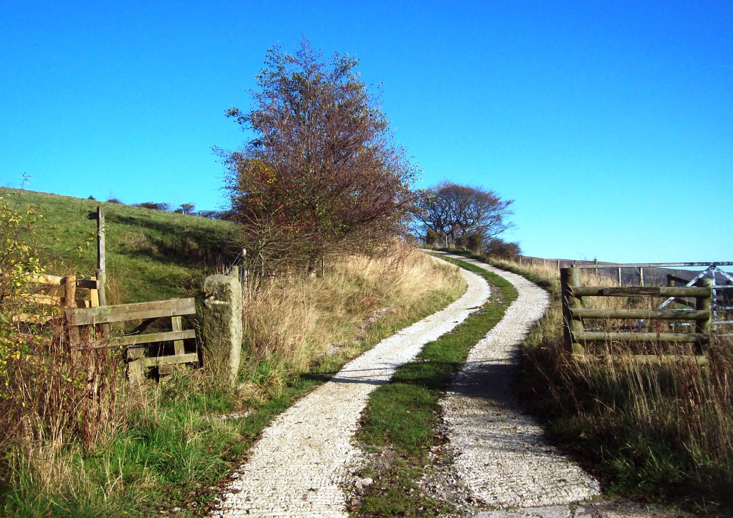
 The track up to Losehill Farmby Jonathan Clitheroe, Wikimedia Commons (Geograph)Original photoCC BY-SA 2.0 licence
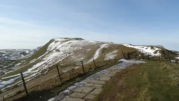 Along the icy ridge to Mam Torby Colin Park, Wikimedia Commons (Geograph)Original photoCC BY-SA 2.0 licence
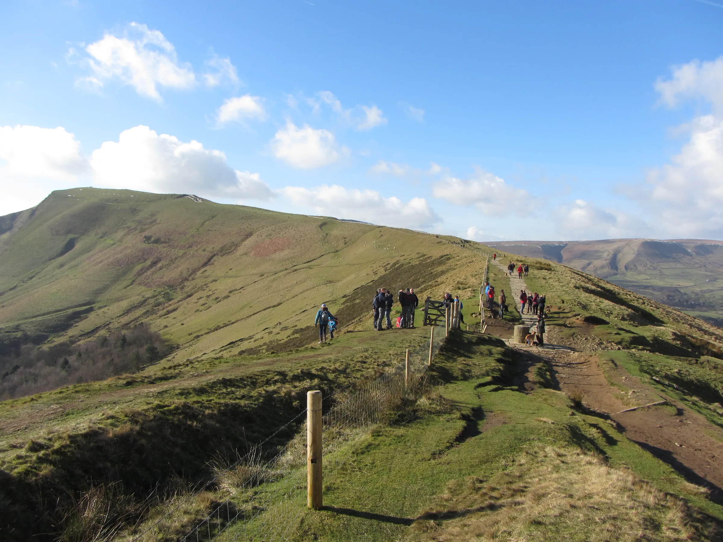
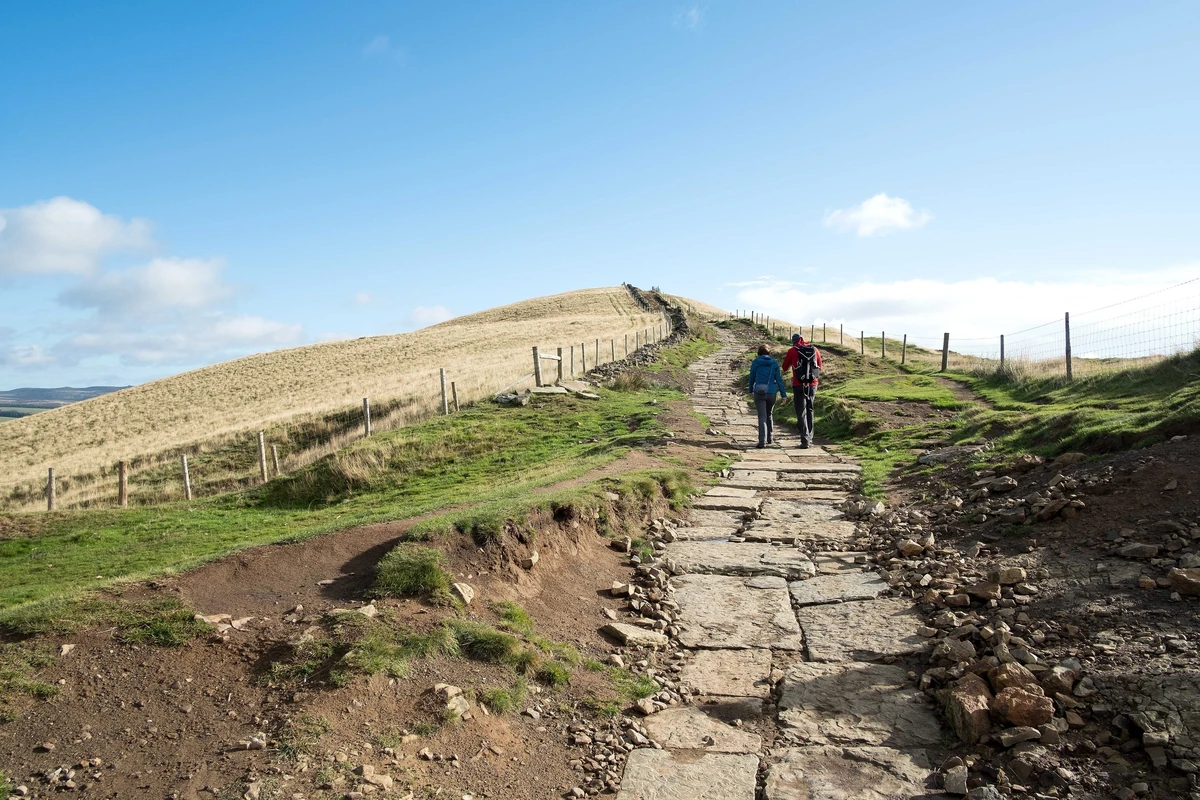
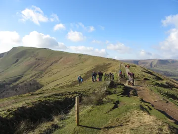 From Hollins Cross to Mam Torby Gareth James, Wikimedia Commons (Geograph)Original photoCC BY-SA 2.0 licence
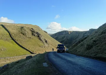 Near the top of Winnats Passby Neil Theasby, Wikimedia Commons (Geograph)Original photoCC BY-SA 2.0 licence
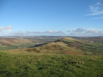 Looking east along the ridge from Mam Torby Martin Richard Phelan, Wikimedia Commons (Geograph)Original photoCC BY-SA 2.0 licence
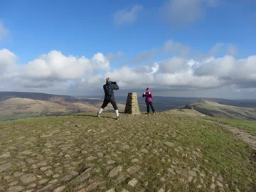 Walkers on the top of Mam Torby Gareth James, Wikimedia Commons (Geograph)Original photoCC BY-SA 2.0 licence
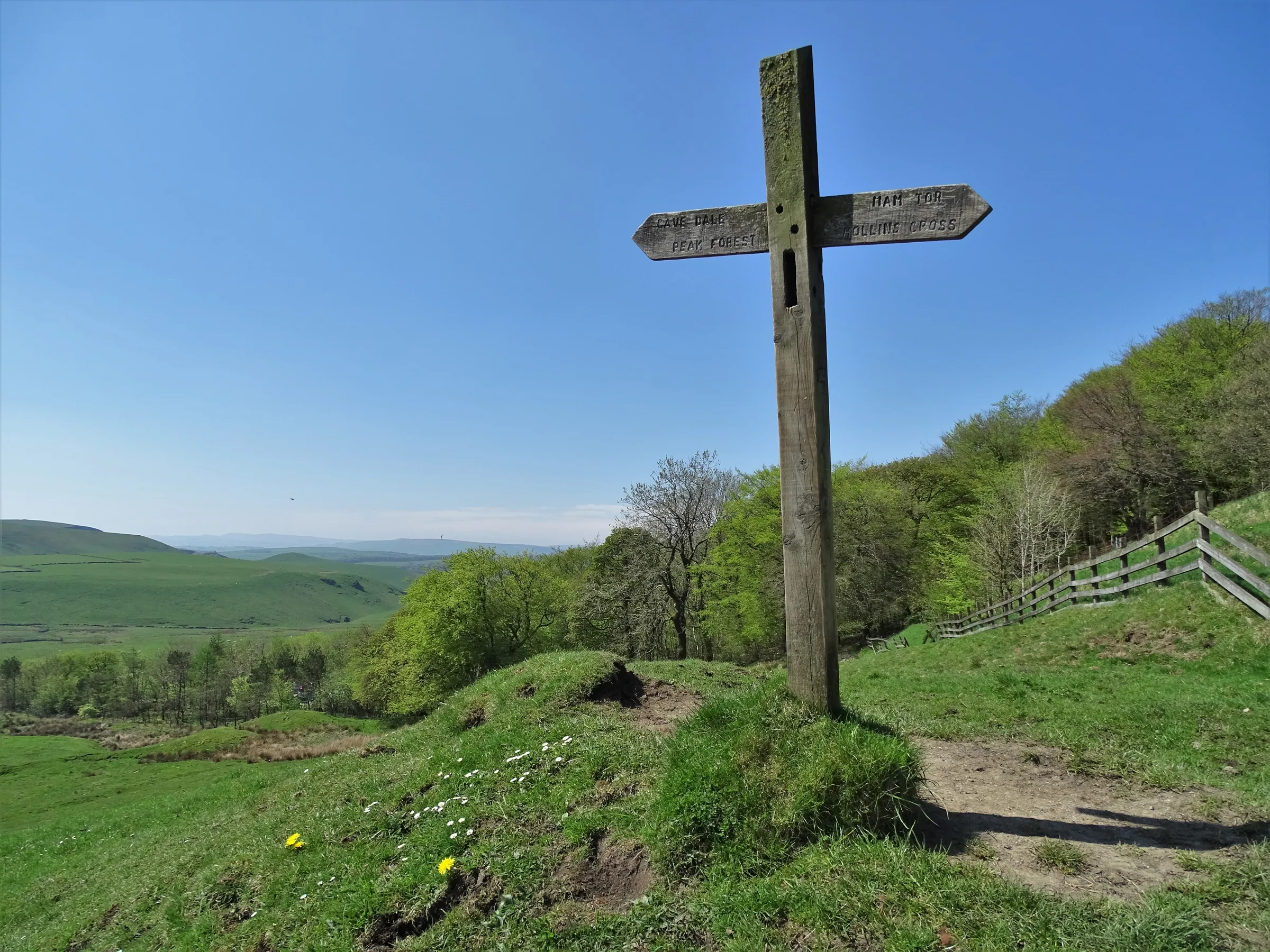
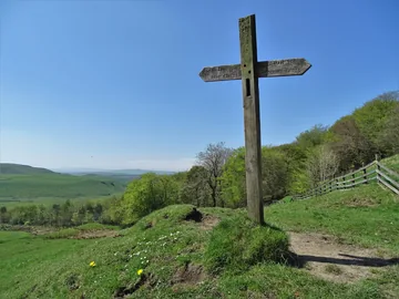 A footpath sign on the slopes of Mam Torby Neil Theasby, Wikimedia Commons (Geograph)Original photoCC BY-SA 2.0 licence
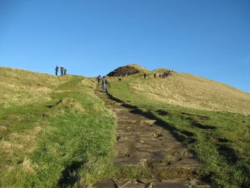 The stony path up Mam Torby Martin Richard Phelan, Wikimedia Commons (Geograph)Original photoCC BY-SA 2.0 licence
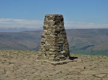 The trig pillar on Mam Tor's summitby Neil Theasby, Wikimedia Commons (Geograph)Original photoCC BY-SA 2.0 licence
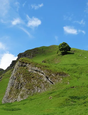 At the eastern end of Winnats Passby Neil Theasby, Wikimedia Commons (Geograph)Original photoCC BY-SA 2.0 licence
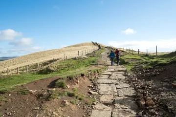 Heading east at Hollins Crossby Jeff Buck, Wikimedia Commons (Geograph)Original photoCC BY-SA 2.0 licence
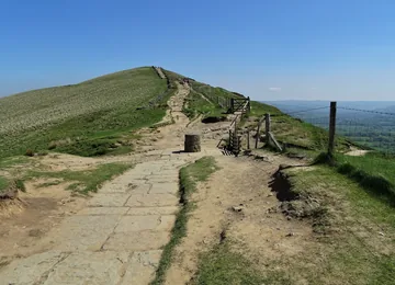 Approaching Hollins Cross from the westby Neil Theasby, Wikimedia Commons (Geograph)Original photoCC BY-SA 2.0 licence
Hints & Tips
Rough Ground Off Back Tor
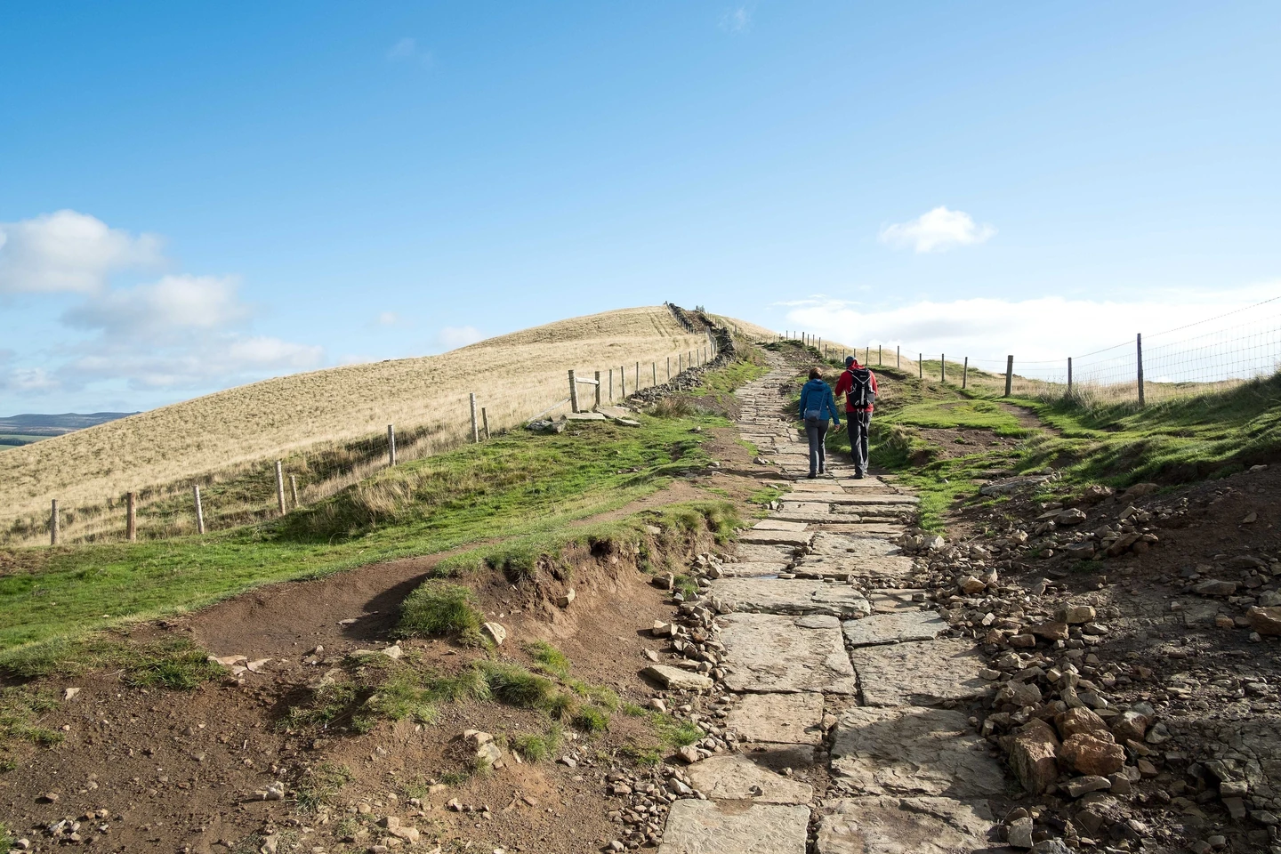
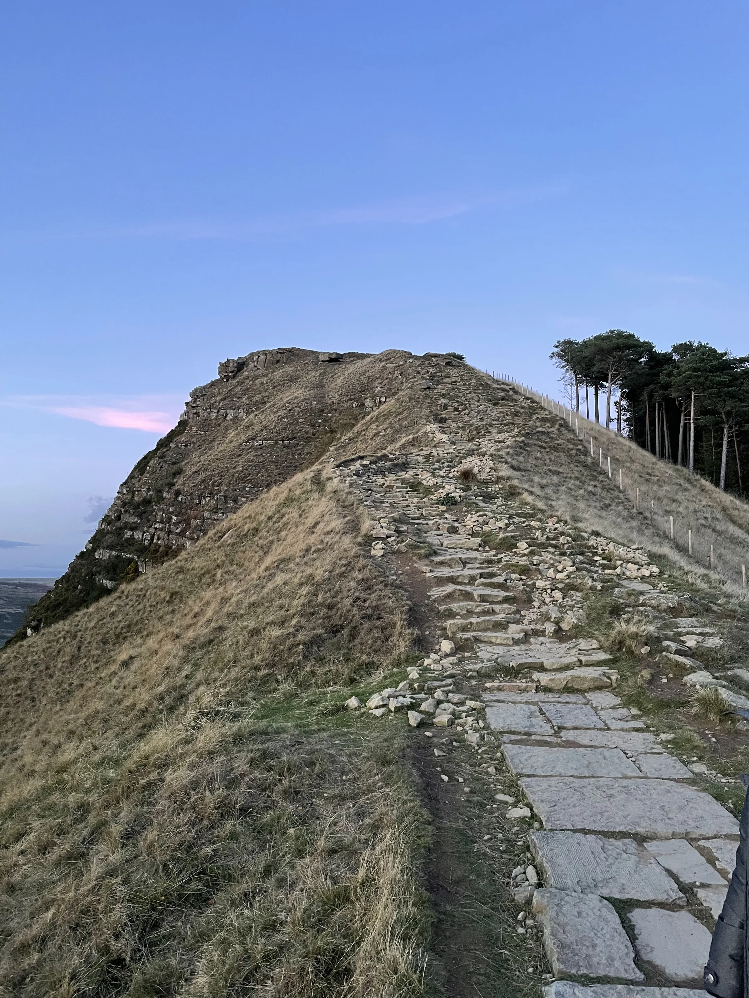
Most of the ridge path between Lose Hill and Mam Tor is paved, but the stretch over Back Tor is not. The crag was made by an old landslip, and the path down its western side is steep and badly eroded, so take it slowly, especially when it's wet.
The Hollins Cross Escape
Hollins Cross, the dip halfway along the ridge, is its lowest point and the old way over between Castleton and Edale, with paths coming up from both sides. If the weather turns or your legs have had enough, you can drop straight down to Castleton from here and leave Mam Tor for another day.
Traffic in Winnats Pass
The way down Winnats Pass follows the road through the gorge. Since the main road round Mam Tor closed in 1979, this narrow road has carried much more traffic, and it is steep, over 28% in places, so walk in single file at the side and keep dogs on a short lead.
No Stopping on the Lanes
In 2026 Derbyshire County Council began bringing in red routes, where you can't stop at all, on the Old Mam Tor Road, the road to Blue John Cavern and the roads towards Rushup Edge and Sparrowpit, with £70 fines. This walk starts in the village, so use the Castleton car park and leave the lanes clear.
Interesting Facts
General
The Shivering Mountain
Weak shale under the sandstone of Mam Tor keeps slipping, and in 1979 the main road across the landslide below its east face was closed for good, leaving behind layers of tarmac and gravel up to 2m thick from years of repairs
Homes on the Summit
More than a hundred small platforms were levelled into the hill near the top of Mam Tor so that timber huts could be built on them, and one of its two Bronze Age burial mounds now lies under the paving on the summit
The Coffin Road
Before Edale had a church of its own, coffins from the valley were carried over Hollins Cross to the church at Hope, which is why the path became known as the coffin road
Found Nowhere Else
A hawkweed called Hieracium naviense, first found in 1966, grows on the limestone of Winnats Pass and nowhere else in the world
Ward's Piece
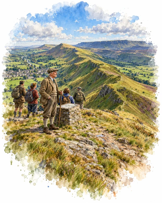
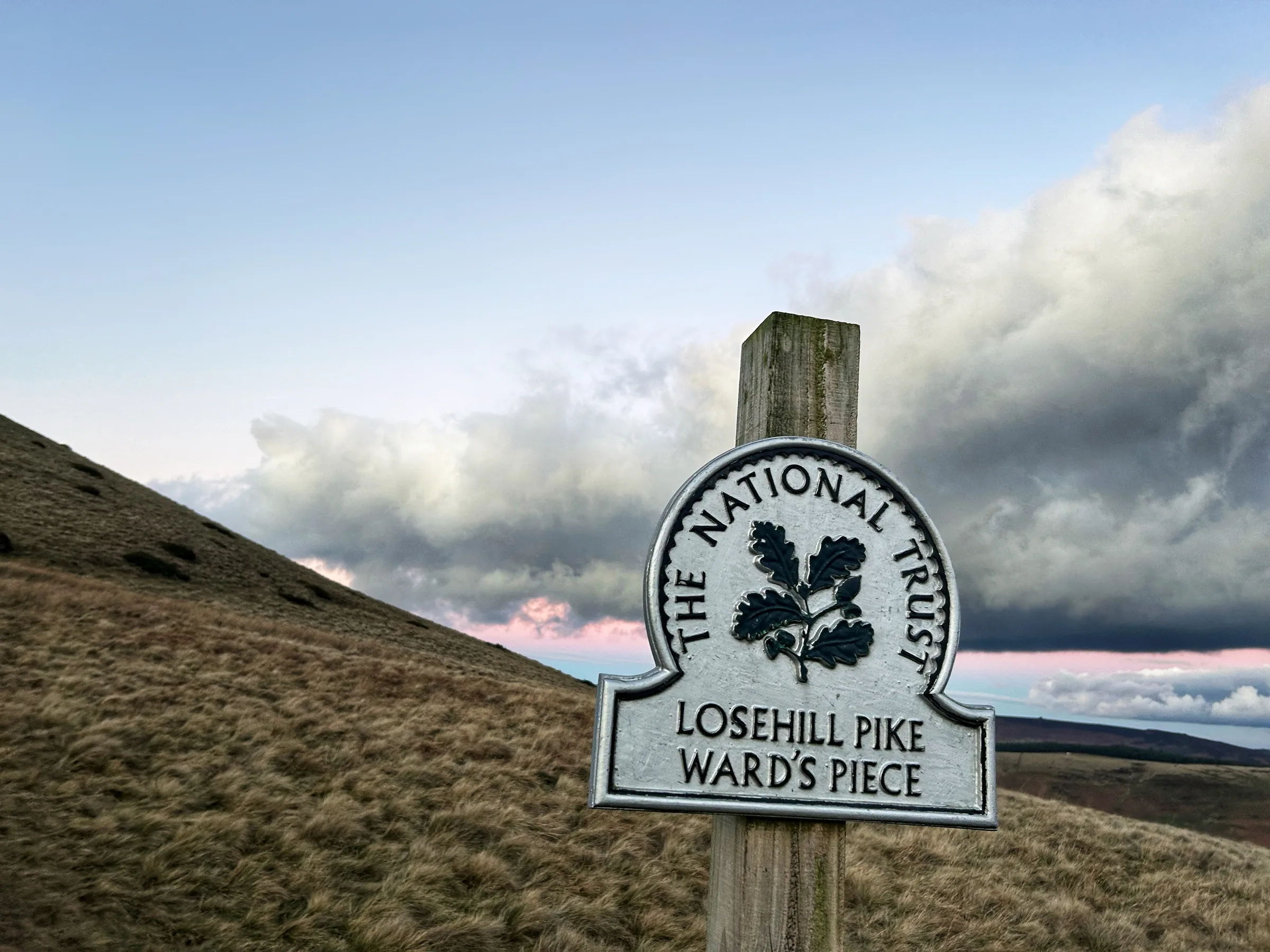
The top of Lose Hill has a second name: Ward's Piece. It is named after George Herbert Bridges Ward, known as Bert, who was born in central Sheffield in 1876 and worked as an engineer in a steelworks. In September 1900 he put an advert in The Clarion, a socialist newspaper, inviting people to join him on a walk around Kinder Scout. Fourteen turned up, eleven men and three women, and from that day grew the Sheffield Clarion Ramblers, thought to be the first rambling club for working people.
The club became the leading voice for the public's right to walk on the moors of the Dark Peak. Ward took part in an illegal mass trespass on Bleaklow as early as 1907. From 1902 he wrote the club's handbooks, which grew from a single card into small books full of local history, place names and geology, and he even persuaded the Ordnance Survey to correct some of the names on its maps. In 1926 he founded the Sheffield and District Federation, one of the branches that went on to form the Ramblers.
In 1945 the Federation bought the top of Lose Hill and gave it to Ward in thanks for his life's work. The plaque put up to mark the gift describes "this summit and 54.5 acres of land around it". Ward then handed the land on to the National Trust. In 1957 the University of Sheffield gave him an honorary degree for his work for walkers, and he died later that year, on 14 October. In 2018 local Ramblers gave £10,000 towards repairing the Great Ridge path between Mam Tor and Lose Hill, the path you walk on this hike.
Murder in the Winnats
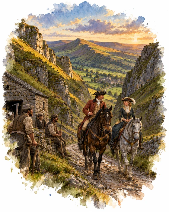
The best known ghost story in Castleton belongs to Winnats Pass, the gorge you walk down at the end of this hike. In 1862 William Wood told it in his Tales and Traditions of the High Peak. In April 1758, he wrote, a young couple, remembered as Allan and Clara, rode through Castleton on two fine horses, heading for the chapel at Peak Forest. Couples could marry there without the usual banns, so it was a favourite place for runaways, and Clara's family were said to be against the match.
In the village their rich clothes caught the eye of a group of miners. As the couple rode up the Winnats, five of the men seized them, dragged them into a barn, robbed them and killed them. The bodies were hidden, and the horses were later found, still saddled and bridled, near the Winnats. About ten years afterwards, miners sinking a shaft found two skeletons, which were thought to be those of the missing couple.
The story says the killers did not escape their crime. One fell from a crag in the Winnats, one was killed by a falling stone near the spot where the murder took place, one went mad and another hanged himself. The last, named in later tellings as James Ashton, is said to have confessed on his deathbed. Legend has it that on dark nights you can still hear the couple begging for their lives in the pass.
More Hikes
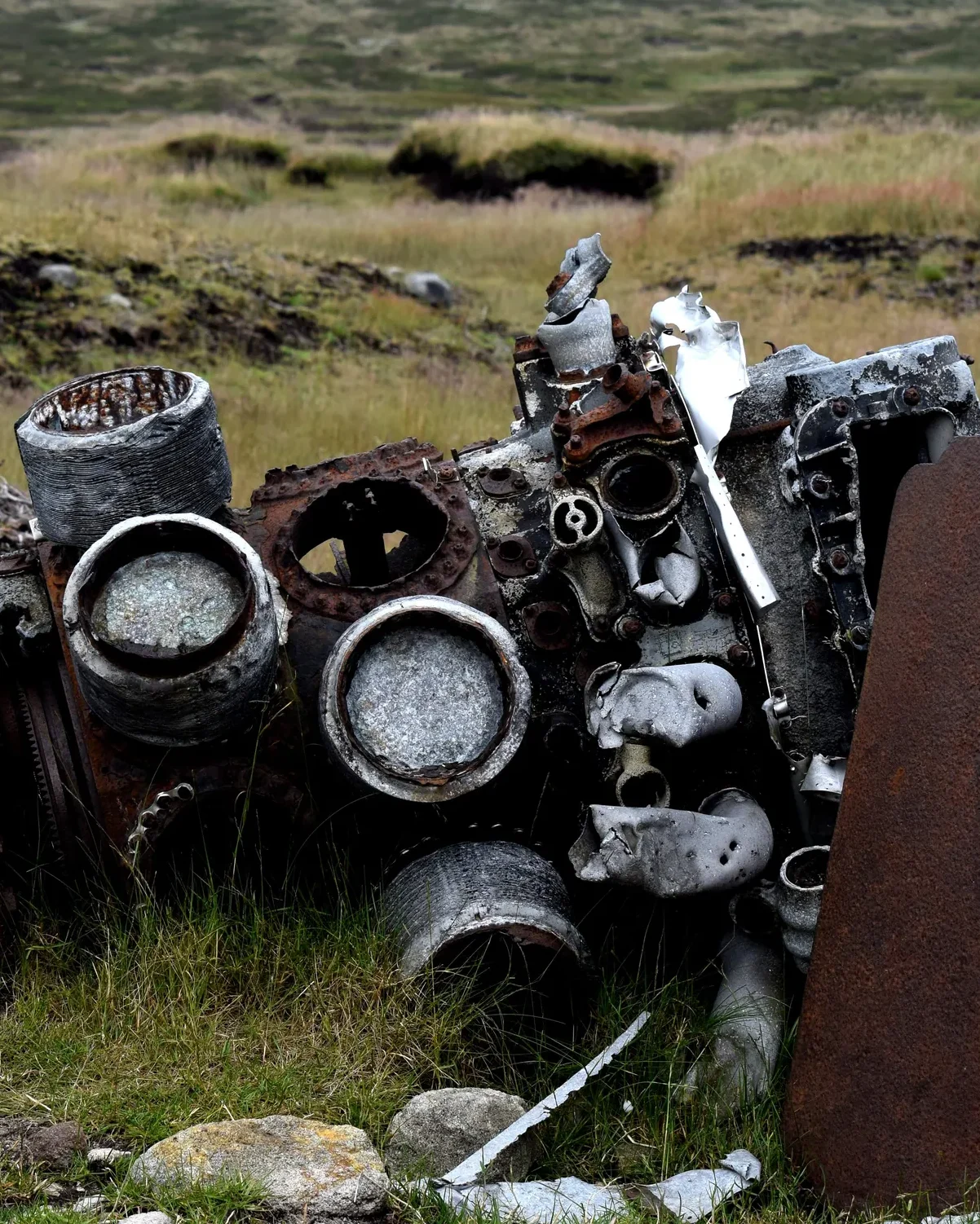 ModerateThe Crashed Plane3.7 mi · 2–3 hrs · 145m
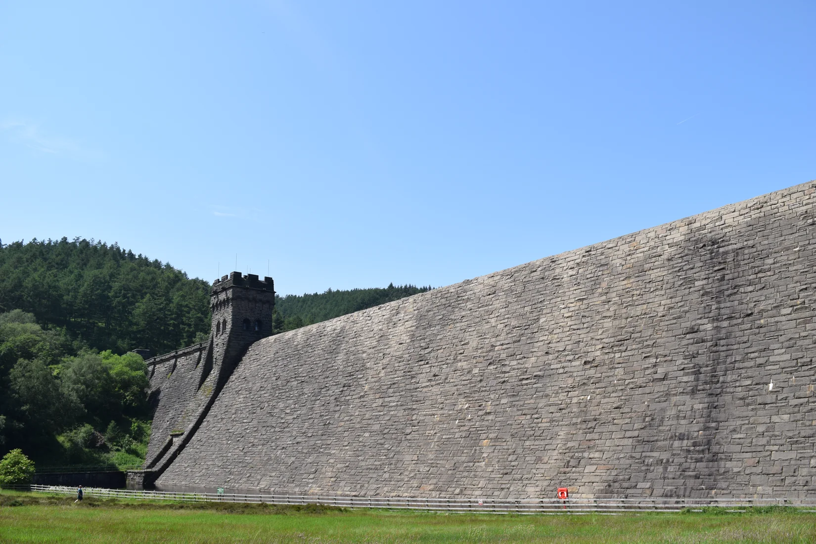 ModerateDerwent Edge7.5 mi · 3–4 hrs · 367m
 HardKinder Scout9.4 mi · 4–6 hrs · 635m
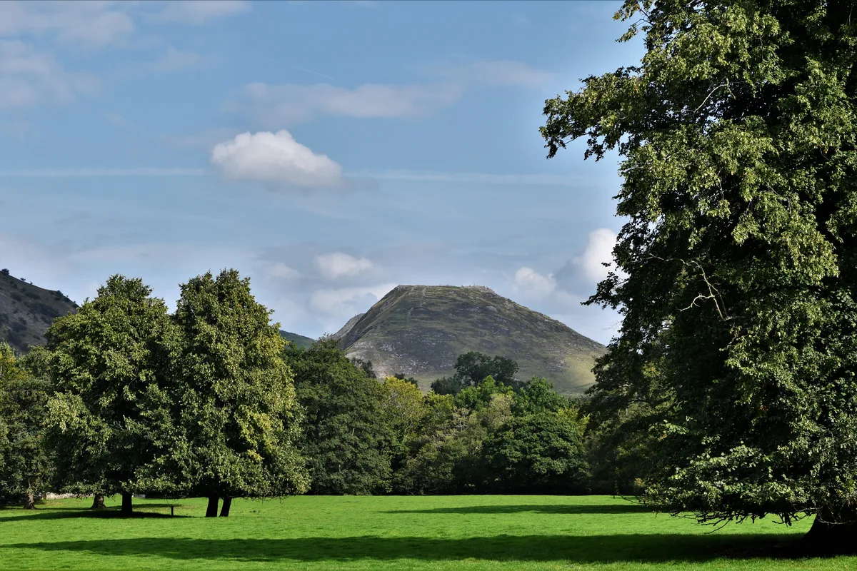 ModerateDovedale & Thorpe Cloud6.8 mi · 3½–4½ hrs · 476m
 EasyCurbar & Froggatt Edges5.8 mi · 2½–3½ hrs · 252m
 ModerateShutlingsloe6.4 mi · 3–4 hrs · 429m
Subscribe for updates on new hikes and National Parks
One email a month with new hikes and routes. No spam.