


Hill data: The Database of British and Irish Hills v18.3 (CC BY 4.0)Height605 m1,985 ft
Grid RefSD 66207 94630
OS MapOL19OS Explorer
AreaNorthern FellsYorkshire Dales
Lat / Long54.34610, -2.52136
Sunrise At the summit
Sunset
Prominence57 m187 ft
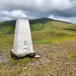
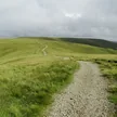
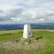
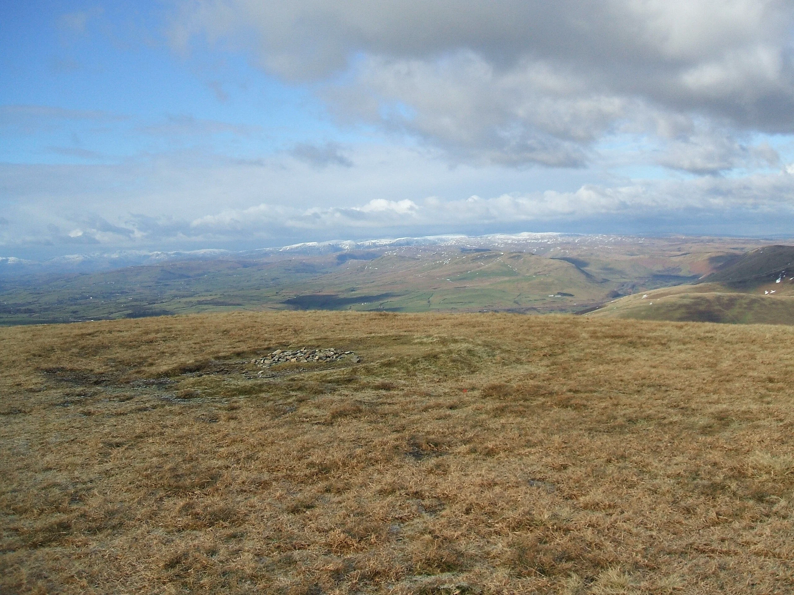
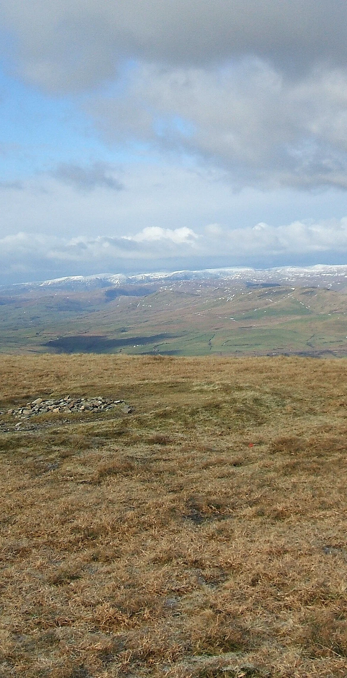
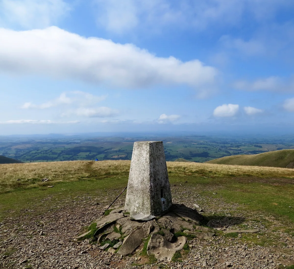
Arant Haw sits on the grassy ridge between Winder and Calders, the next top along for walkers climbing from Sedbergh towards The Calf. A cairn marks its summit, and a bridleway skirts round its eastern side.
Summit
Cairn
Rock & Ground
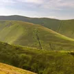
Like the rest of the Howgills, it is built of old Palaeozoic sandstones, siltstones and mudstones rather than the limestone found across most of the Dales.
On These Lists
DeweySimm
Summit Weather
Our Route
Distance7.9 mi12.7 km
Ascent781 m2,560 ft
Time4–5 hrswalking
Start & FinishSedberghSD 6592 9217 · circular route
DirectionsAlso on this route: The Calf, Calders, Winder, Bram Rigg Top
Safety: Routes are a guide only. Carry a map and compass and know how to use them, check the weather before you go, and turn back if in doubt. You use this route at your own risk.