
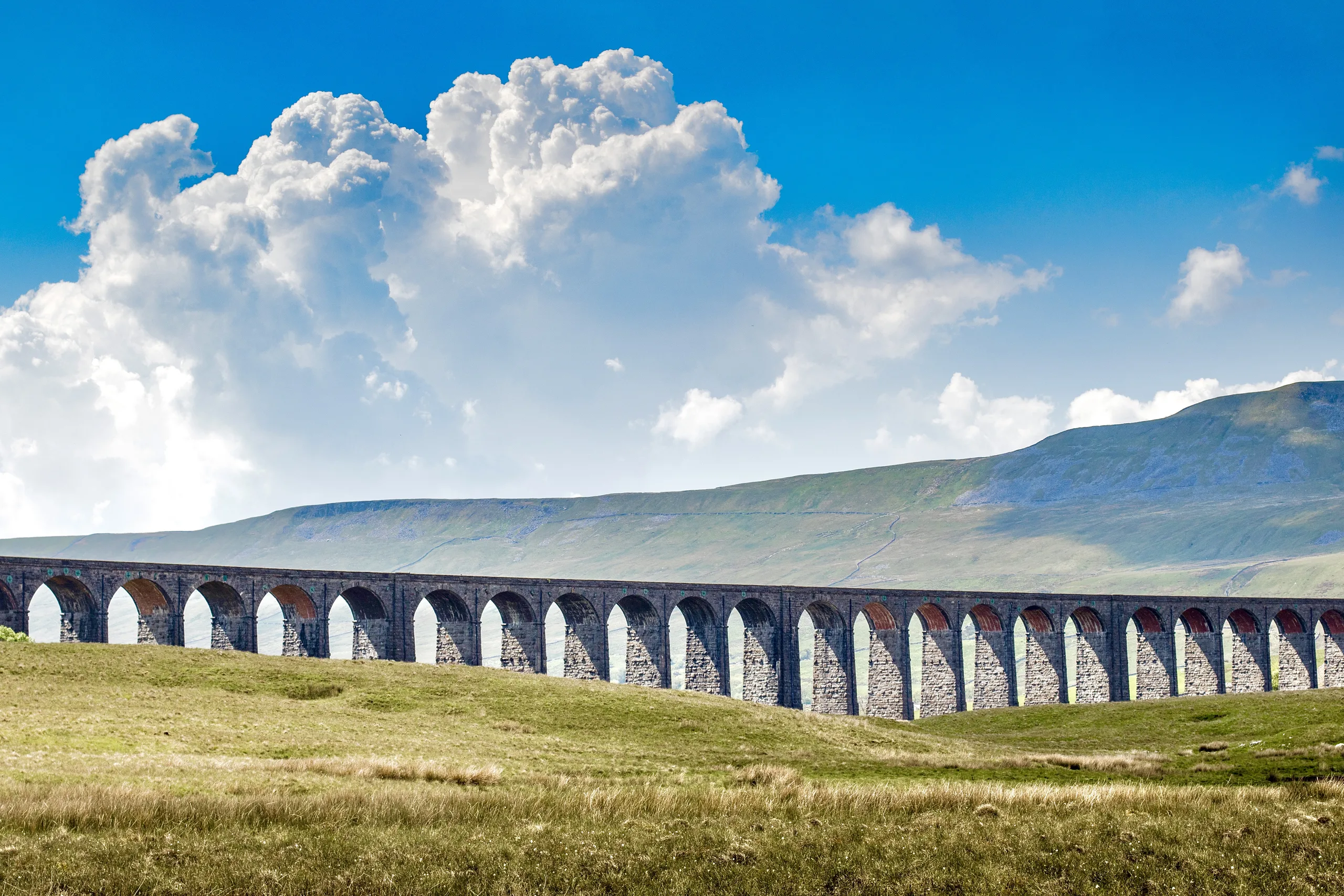


Yorkshire Dales National Park
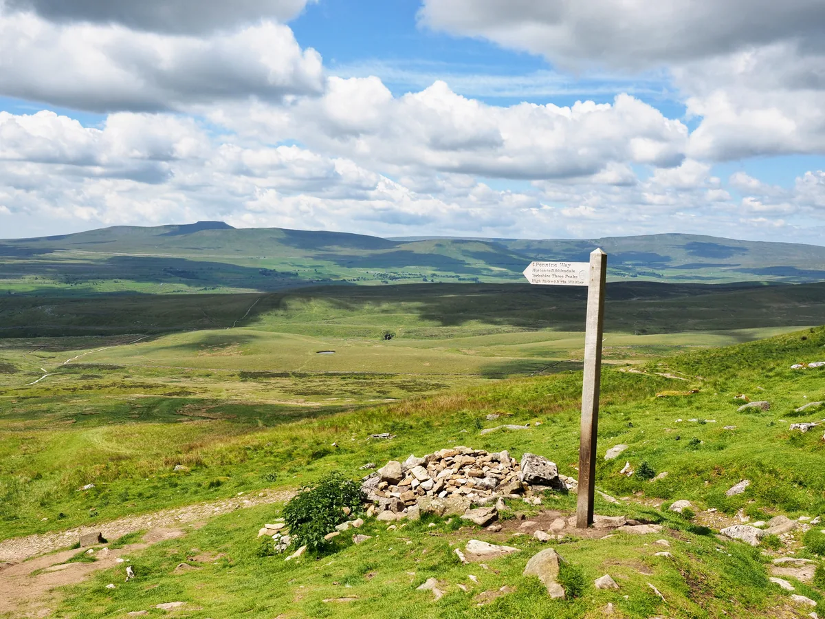
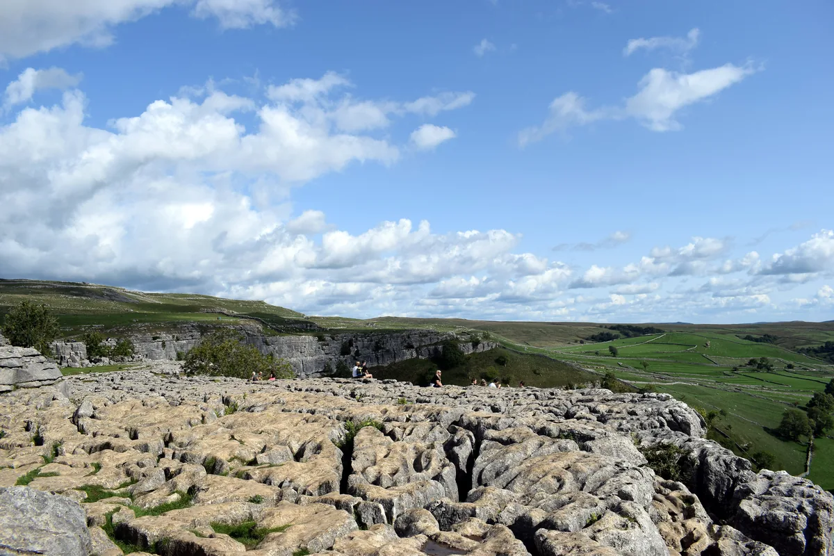
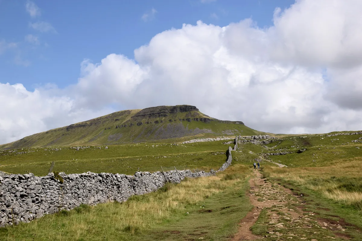
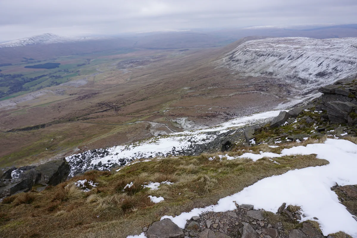
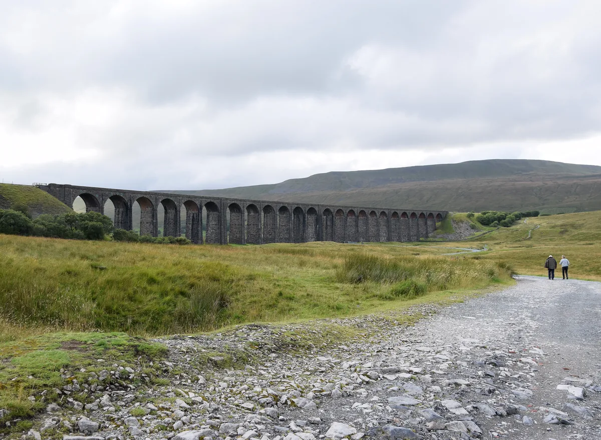
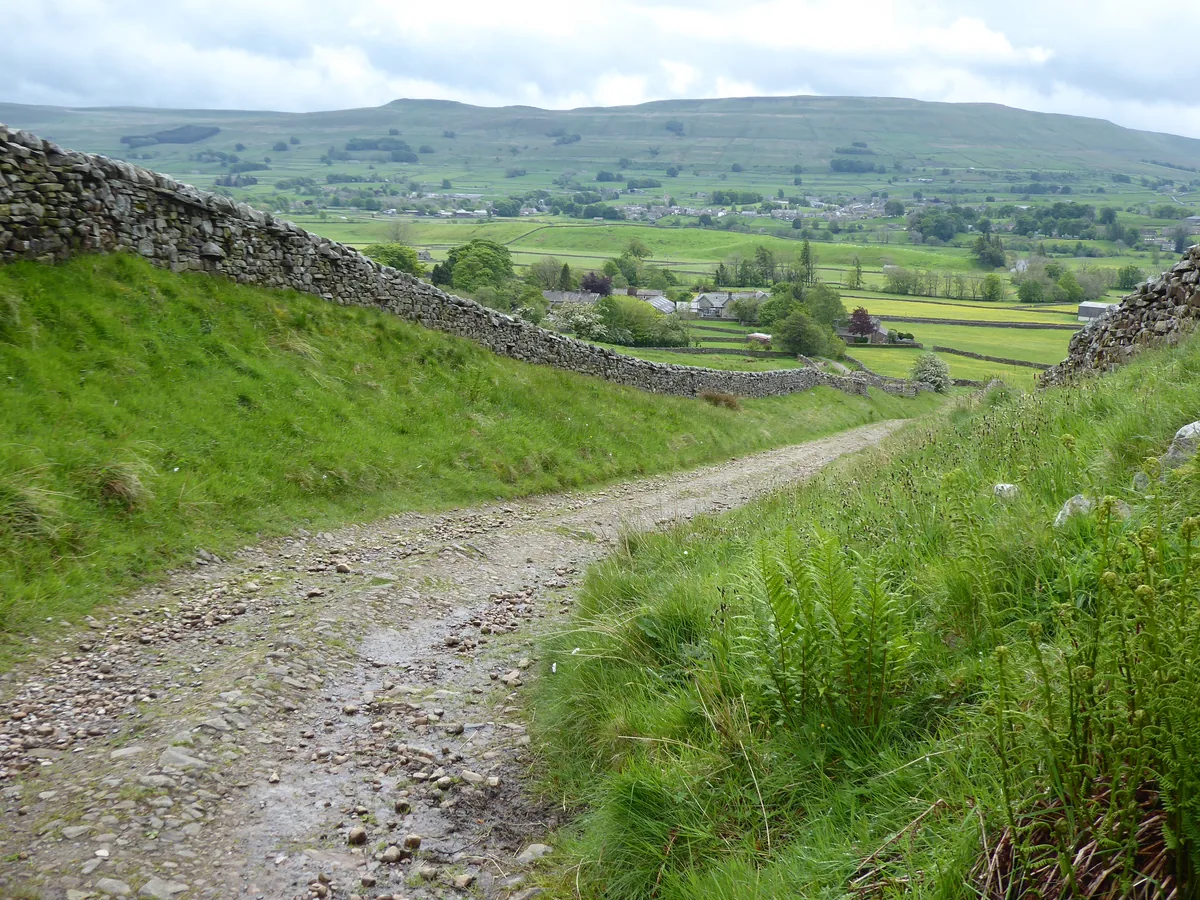
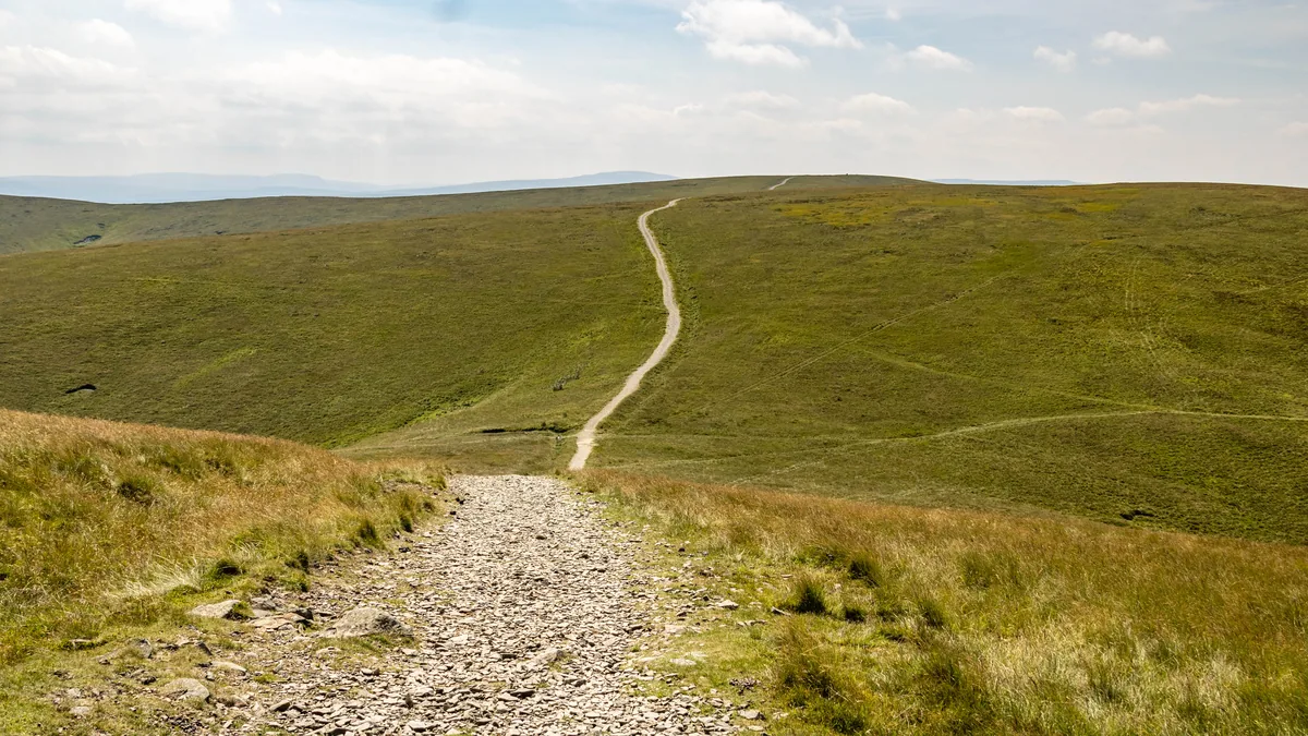
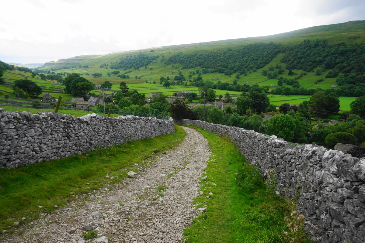
Designated in 1954 and extended in 2016, the Yorkshire Dales National Park covers 841 square miles of limestone dales, high moorland and the Howgill Fells, and in 2020 it became an International Dark Sky Reserve. Take on the Yorkshire Three Peaks, walk beneath the cliffs of Malham Cove, or choose from our hand-picked hikes below.
Map key
On the map
- New tabOpen a second map, to compare or keep a find
- ResetBack to the full view
- LayersSwitch between map and satellite
- Drive timesHow long to drive to each hill, without moving the map
- Locate meShow where you are on the map
- Full screenFill the screen with the map
In each pop-up
- Tick offMark it as done (log in)
- HideHide the pop-up to see the route
- FlyoverA 3D flight along the route
- ElevationThe climb, mile by mile
- VideosVideos from the top on YouTube
- Drive timeTap Drive Time on the photo to see how far it is
In a flyover
- Play / pauseStart or stop the flight
- RestartBack to the start of the route
- CameraFollow the walker or see it from above
- ZoomCloser in or further out
- SpeedFaster or slower
- Return to mapLeave the flyover
Our Hikes
No hikes match.
Drive time from you
Uses your location to work out drive times. It isn't saved.
Difficulty
Route length
Highest point
Rating
Route type
Crowds
Signage
Show
Subscribe for updates on new hikes and National Parks
One email a month with new hikes and routes. No spam.
Yorkshire Dales
National Park
Designated in 1954 and extended in 2016, the Yorkshire Dales National Park covers 841 square miles of limestone dales, high moorland and the Howgill Fells, and in 2020 it became an International Dark Sky Reserve. Take on the Yorkshire Three Peaks, walk beneath the cliffs of Malham Cove, or choose from our hand-picked hikes below.
Map key
On the map
- New tabOpen a second map, to compare or keep a find
- ResetBack to the full view
- LayersSwitch between map and satellite
- Drive timesHow long to drive to each hill, without moving the map
- Locate meShow where you are on the map
- Full screenFill the screen with the map
In each pop-up
- Tick offMark it as done (log in)
- HideHide the pop-up to see the route
- FlyoverA 3D flight along the route
- ElevationThe climb, mile by mile
- VideosVideos from the top on YouTube
- Drive timeTap Drive Time on the photo to see how far it is
In a flyover
- Play / pauseStart or stop the flight
- RestartBack to the start of the route
- CameraFollow the walker or see it from above
- ZoomCloser in or further out
- SpeedFaster or slower
- Return to mapLeave the flyover
Swipe to Hike!
No hikes match.
Drive time from you
Uses your location to work out drive times. It isn't saved.
Difficulty
Route length
Highest point
Rating
Route type
Crowds
Signage
Show
Subscribe for updates on new hikes and National Parks
One email a month with new hikes and routes. No spam.