



Contents
Overview
Hippo-backed and grassy, the Howgill Fells look nothing like the limestone country of the rest of the Dales, because they're built from much older slates and gritstones. The Calf, at 676m, is their highest point, and the climb from Sedbergh is the most popular way up, on good paths all the way. Alfred Wainwright called the route from Sedbergh over Calders to The Calf "the classic high-level walk on the Howgill Fells", and from the flat top you can see a twenty-mile skyline of Lakeland peaks to the west and the Yorkshire Three Peaks to the south-east.
Sedbergh's Joss Lane car park is the start and finish of this loop. Howgill Lane leads west out of town to a bridleway up through Lockbank Farm, and from the fell gate a grassy path climbs Winder's broad west ridge to its trig point at 473m. The ridge then carries you north-east over Arant Haw and down to Rowantree Grains, before a steep, stony climb beside a fence to Calders and an easy stroll over Bram Rigg Top to The Calf's trig point at about 4.4 miles. You come back over Calders to Rowantree Grains, then leave the ridge and follow the bridleway round the eastern side of Arant Haw to the col below Winder, where a path drops down Settlebeck Gill to the top of Joss Lane and back to the car park.
Go prepared, stay safe,
and enjoy the hike!
Key Info
Crowds
Low
The route from Sedbergh is the most popular way up The Calf, but the Howgills are among England's quieter walking areas and you're unlikely to meet more than a handful of other walkers on the tops. The main pinch point is parking on Wednesdays, Sedbergh's market day, when only some of Joss Lane car park is available.
When it gets busy
- Wednesday, market day, when part of Joss Lane car park is taken up
For a quieter walk
- Expect only a handful of other walkers on the tops
- If Joss Lane is full, use Loftus Hill car park, just south of Main Street
Our crowd rating is for a typical sunny weekend in spring or summer, in the middle of the day. Timing makes a big difference, so even a busy walk can be quiet early, late or midweek.
The Route
Disclaimer: Route information and GPX files are provided for general guidance only. Conditions can change, so always use your own judgement and navigate responsibly. See our Terms of Use & Disclaimer for more information.
Route Guide
- 1
Out Along Howgill Lane0.7 mi · 65m up · 5m downFrom Joss Lane car park, walk up to Howgill Lane on the north side of town and follow it west, past the playing fields and a small housing estate. At the footpath sign, turn right up the bridleway through Lockbank Farm, closing any gates behind you, to the gate onto the open fell at about 0.7 miles.
- 2
Up Winder's West Ridge0.5 mi · 226m upThrough the gate, follow the path north beside the fell wall, crossing a couple of small streams, then climb the broad, grassy west ridge of Winder. The summit, at 473m and about 1.2 miles, has a white trig point and an orientation cairn, with Sedbergh spread out below.
- 3
Along to Arant Haw1.0 mi · 152m up · 49m downFollow the ridge path north-east, dropping to the col where the main bridleway crosses at about 1.9 miles. Carry straight on up the long, steep slope ahead to the small cairn on top of Arant Haw at about 2.2 miles.
- 4
Rowantree Grains and Calders1.2 mi · 186m up · 104m downHead north-east along the ridge from Arant Haw and drop to rejoin the bridleway, which descends to the dip of Rowantree Grains at about 2.7 miles. From here a steep, stony track climbs beside the fence to the top of Calders, 674m, at about 3.4 miles. This is the hardest climb of the day.
- 5
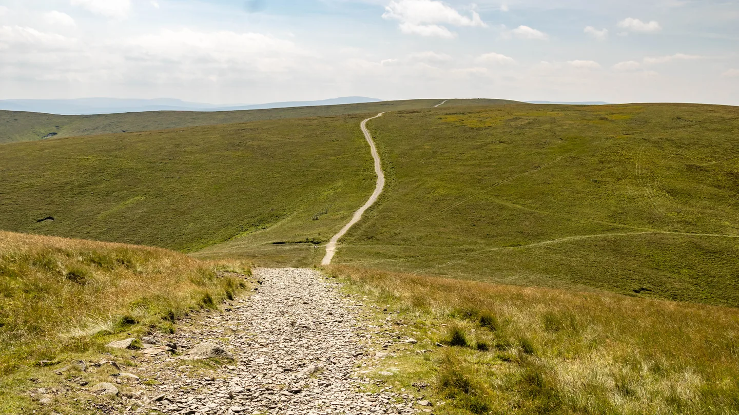
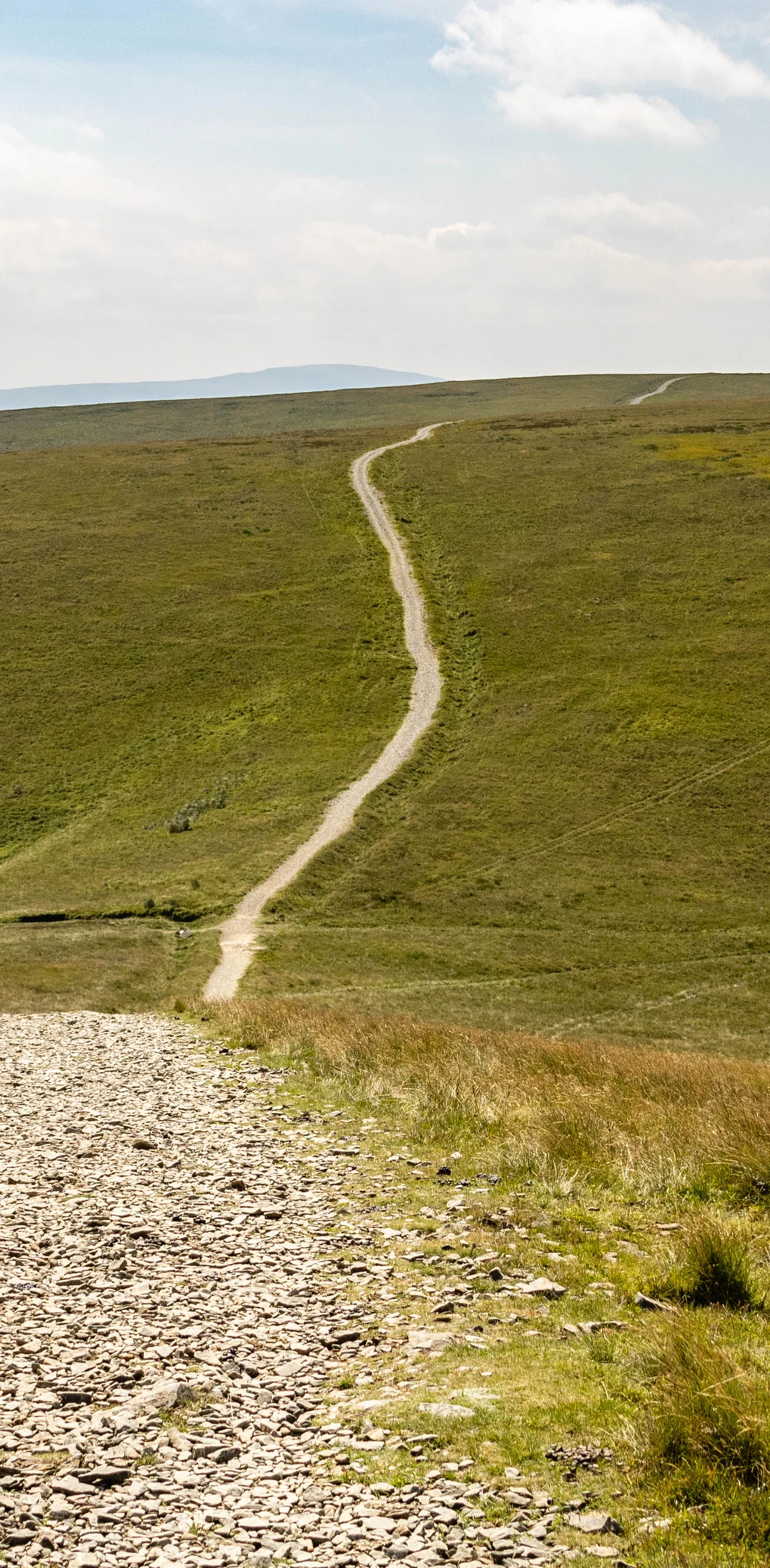
Over Bram Rigg Top to The Calf1.0 mi · 58m up · 49m downFrom Calders the broad, undulating track heads north. Make a short detour left onto Bram Rigg Top and back at about 3.8 miles, then carry on to the white trig point on The Calf, 676m, at about 4.4 miles. On a clear day the view takes in the northern Howgills, the high Pennines including Cross Fell, and the Lakeland fells to the west.
- 6
Back to Rowantree Grains1.4 mi · 44m up · 168m downRetrace your steps south along the main track, past Bram Rigg Top this time, and back over Calders. Take care on the steep, stony way down beside the fence to Rowantree Grains, which you reach at about 5.75 miles.
- 7
Round Arant Haw on the Bridleway0.6 mi · 52m up · 76m downDon't climb Arant Haw again: stay on the bridleway as it runs round the eastern side of the hill, ignoring the path climbing to the summit on your right. It brings you to the col between Arant Haw and Winder at about 6.4 miles.
- 8
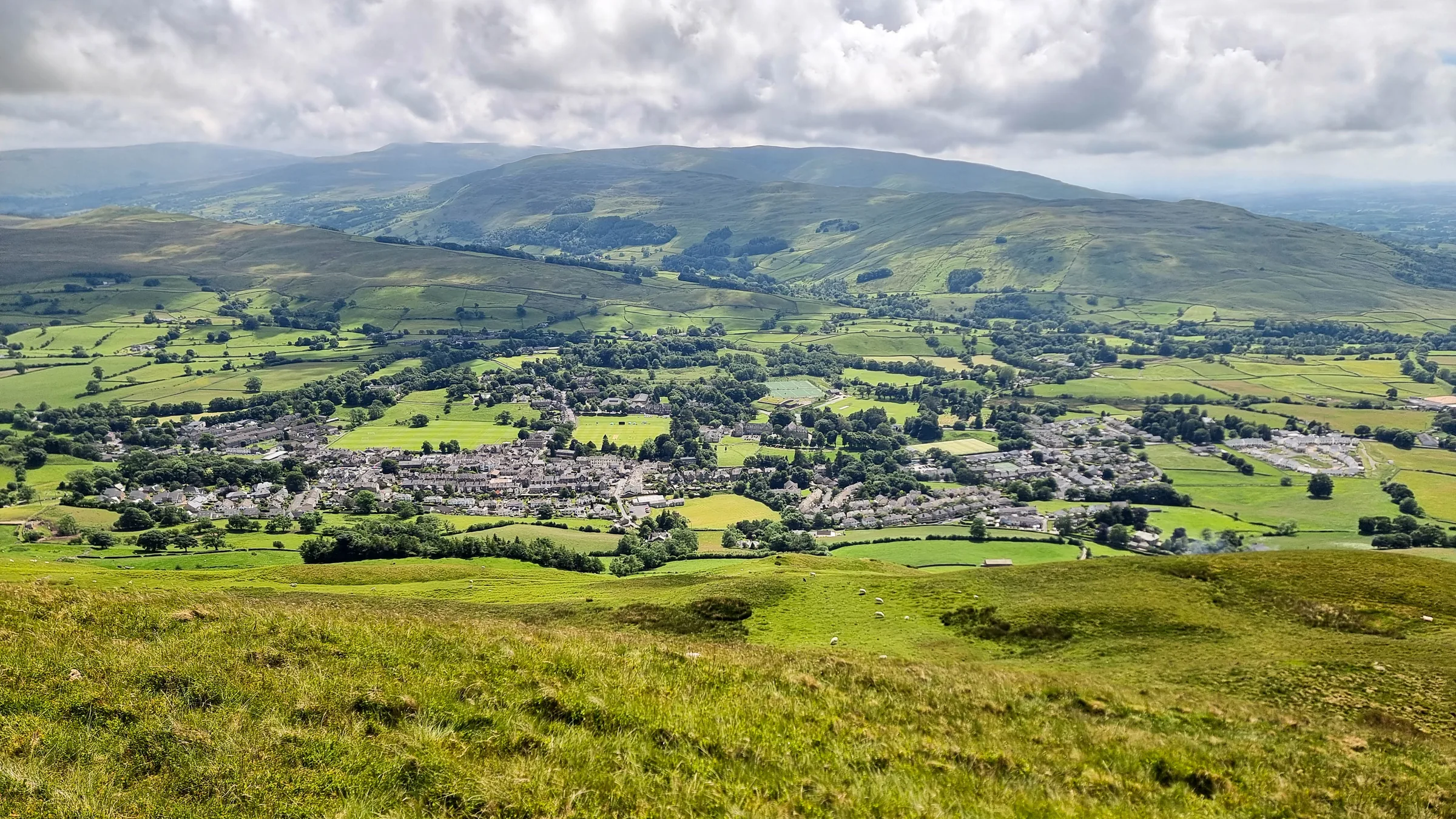
Down Settlebeck Gill1.5 mi · 331m downAt the col, leave the bridleway and head down the broad valley, which can be boggy, into Settlebeck Gill, keeping to the path on the right-hand side of the beck. Just above the metal kissing gate that takes you off the open fell is a stone bench with a view over Sedbergh. Below the gate, follow the path down beside the gill and through the gates to the end of the tarmac, passing the remains of a motte and bailey castle on your left, then walk down Joss Lane to the car park.
Use the route on OS Maps, AllTrails or Komoot to navigate on the day; this guide is for planning.
Parking
The walk starts from Joss Lane car park in the centre of Sedbergh (grid ref SD 659 921 · Postcode LA10 5AS; postcodes here cover a wide area, so use the Directions button above), run by Westmorland and Furness Council. It's a long-stay car park with 54 spaces and 3 Blue Badge spaces, and it's chargeable from 9AM to 6PM every day: £1.70 for 1 hour, £3 for 2 hours, £4.40 for 3 hours, £5.60 for up to 5 hours or £7.90 for the day. Blue Badge holders and motorcycles park free. The machines take coins (no change given) and Visa or Mastercard, including contactless. There are two fast EV charge points, and public toilets on Main Street right by the car park. Wednesday is market day, when only some of the parking is available; if it's full, see Alternative Parking. Check the latest prices here.
*Prices correct at time of writing; check before you travel.
Alternative Parking
Facilities & Hospitality
On Main Street right beside Joss Lane car park, at the start and finish, open from 8AM to 6PM every day.
About 150m west of the car park on Main Street, a contemporary inn and restaurant with rooms. Food is served Monday to Saturday 12 to 8:30PM and Sunday 12 to 8PM, with breakfast from 8:30 to 10:30AM. Dogs are welcome on a lead.
In The Stables off the Black Bull's courtyard, this all-day café is open Tuesday to Saturday from 8:30AM to 4PM, with breakfasts, toasties, soup, sandwiches and homemade cakes and pastries.
A 16th-century coaching inn on Main Street, about 250m west of the car park. It's a freehouse with cask ales from local breweries, serves food all day every day, and has six double rooms, a single and a separate cottage.
Opposite St Andrew's Church on Main Street, serving breakfasts, homemade light bites, main meals, snacks and cakes, with takeaway too. Afternoon teas need a day's notice.
Weather
Hike Videos
Note: Videos are made by other walkers, not The Lost Peak. They may not follow this exact route, and paths, conditions and facilities may have changed since filming.
Photo Gallery
Photos
Photo credits
Photos without a credit are our own. These are used under Creative Commons licences; thank you to the photographers.
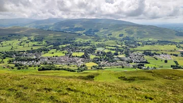
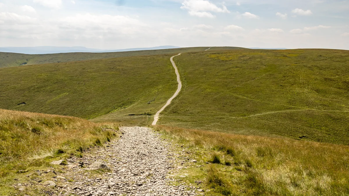 Bram Rigg TopHero photo · by Peter McDermott, Wikimedia Commons (Geograph)Original photoCC BY-SA 2.0 licence
Hints & Tips
Five Hours May Not Be Enough
Joss Lane's 5-hour ticket costs £5.60, but the Visit Sedbergh walk leaflet gives 4 to 5 hours for this route before you add a stop on the summit, so the £7.90 all-day ticket is the safer buy. Charges only apply from 9AM to 6PM, and the machine doesn't give change.
The Pull Up to Calders
Save some energy for Rowantree Grains. At about 2.7 miles the path drops into this dip and then climbs a steep, stony track beside the fence to Calders, the hardest climb of the day. On the way back you come down the same slope, so take it steadily.
Ridges That Look Alike in Mist
Walking Britain warns that the Howgills' ridges and valleys are complex and can be confusing in poor visibility. On the way back, at Rowantree Grains, make sure you stay on the bridleway round the east side of Arant Haw, which leads you to the col above Settlebeck Gill.
Soggy Ground Above the Gill
Boggy ground lies between the col below Winder and the kissing gate above Settlebeck Gill, where the path runs down the middle of a broad valley, so expect wet boots on the final descent after rain.
Wainwright's Reclining Stone
Wainwright made a point of a "reclining" standing stone about 400 yards north-east of the trig point on The Calf, which is marked on large-scale Ordnance Survey maps. It's off the main path, so check your map if you go looking.
Toilets Shut at 6PM
Main Street's public toilets, right by Joss Lane car park, are open from 8AM to 6PM every day. There are none on the fells, so if you're setting off early or finishing late, plan around those hours.
Interesting Facts
General
Norse Names
Howgill comes from the Old Norse haugr, a hill or barrow, and gil, a narrow valley, while Sedbergh comes from setberg, a flat-topped hill
Not Limestone Country
Unlike the limestone of most of the Yorkshire Dales, the Howgills are made of older slates and gritstones, and Cautley Crag is the only well-developed glacial cirque in the whole range
Inside the Park
Only since August 2016 have the northern Howgills been inside the National Park, when the Yorkshire Dales grew by nearly 24%
On the County Line
Historically, The Calf sat on the boundary between the West Riding of Yorkshire and Westmorland; today it's in Westmorland and Furness, in Cumbria
The School on Winder's Doorstep
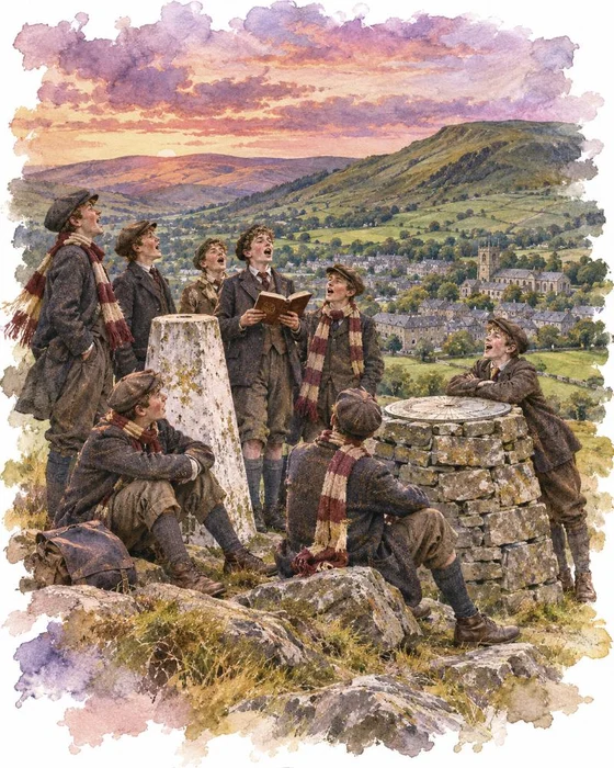
Roger Lupton, born at Cautley in the parish of Sedbergh in 1456, founded a chantry school in the town in 1525, while he was Provost of Eton. By 1528 land had been bought, a school built and the foundation deed signed. Lupton tied the school to St John's College, Cambridge, with scholarships and fellowships, and that link probably saved it in 1546 to 1548, when most chantries were dissolved. It was re-founded as a grammar school in 1551, and today Sedbergh School is a boarding school in the town at the foot of these fells.
Henry George Hart, headmaster from 1880, brought in the first Wilson Run, a ten-mile fell race that the school still runs near the end of the Lent term. It has followed almost the same route since 1881 and has only been cancelled four times. The course record of 1:07:05 was set by F Sproul in 2022, and the girls' record of 1:24:07 by two-time winner M Hyder in 2011. At the evening concert after the race, the runners climb on stage to sing "The Long Run", one of the school songs that masters R.S. Ainslie and P.A. Thomas began writing in 1884.
The official school song is named after the first hill on this walk. "Winder", with words by Frederic Blagden Malim, is an ode to the Howgills and to the outline of Winder against the evening sky, and it's sung at dinners and speech days and out on the fells. For the school's 500th anniversary a new motto was taken from "The Long Run": Never Shall You Strive in Vain.
Wainwright's Classic High-Level Walk
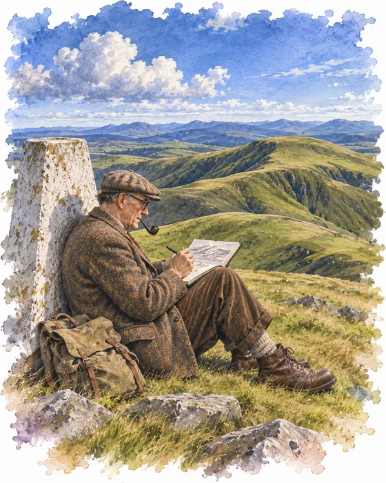
Alfred Wainwright is best known for his guides to the Lake District, but in 1972 he published Walks on the Howgill Fells. In it he describes the route from Sedbergh over Calders to The Calf, the line this walk follows, as "the classic high-level walk on the Howgill Fells".
He gave The Calf plenty of attention. He drew the trig point on the summit, wrote about a "reclining" standing stone 400 yards to the north-east that appears on large-scale Ordnance Survey maps, and drew diagrams of the view all the way round, with sketches of the Lakeland skyline and of the Yorkshire Three Peaks to the south-east. He also spent a whole column on the height of Calders, which he estimated at 2,215 ft. Today it's given as 674m (2,211 ft), just 2m lower than The Calf, and it's classed as a Hewitt.
Wainwright described other ways up too: from Castley, which he called a beautiful walk, from Beck Houses farm on the west side of the range, and from Bowderdale, which he called the longest direct ascent of The Calf. But the Sedbergh route, on good paths all the way, is still the most popular.
More Hikes
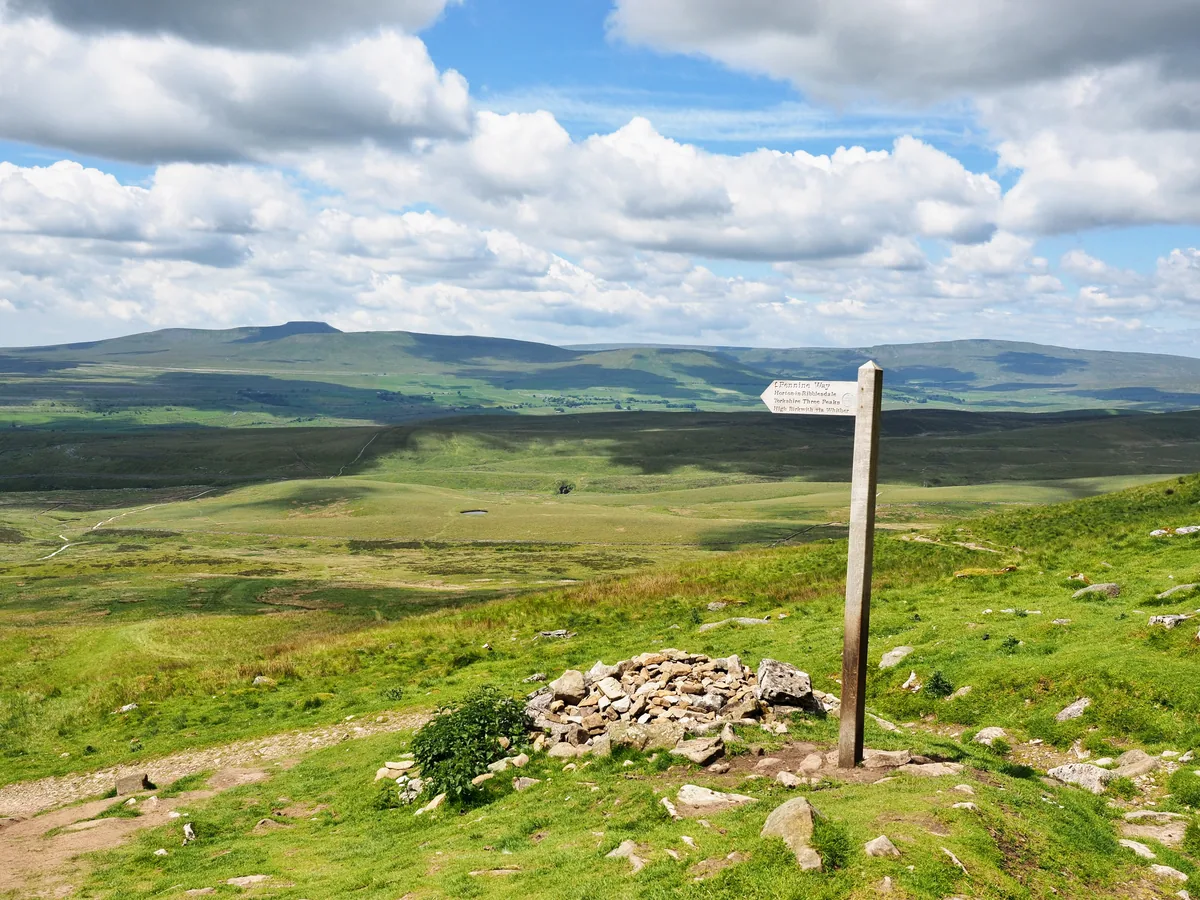 HardYorkshire Three Peaks24.7 mi · 8–14 hrs · 1603m
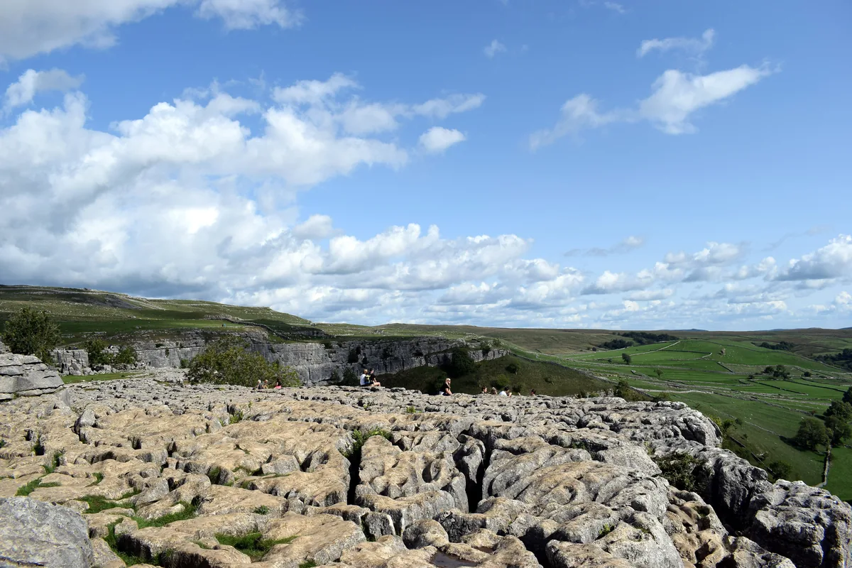 ModerateMalham Cove & Gordale Scar8.5 mi · 4–5 hrs · 300m
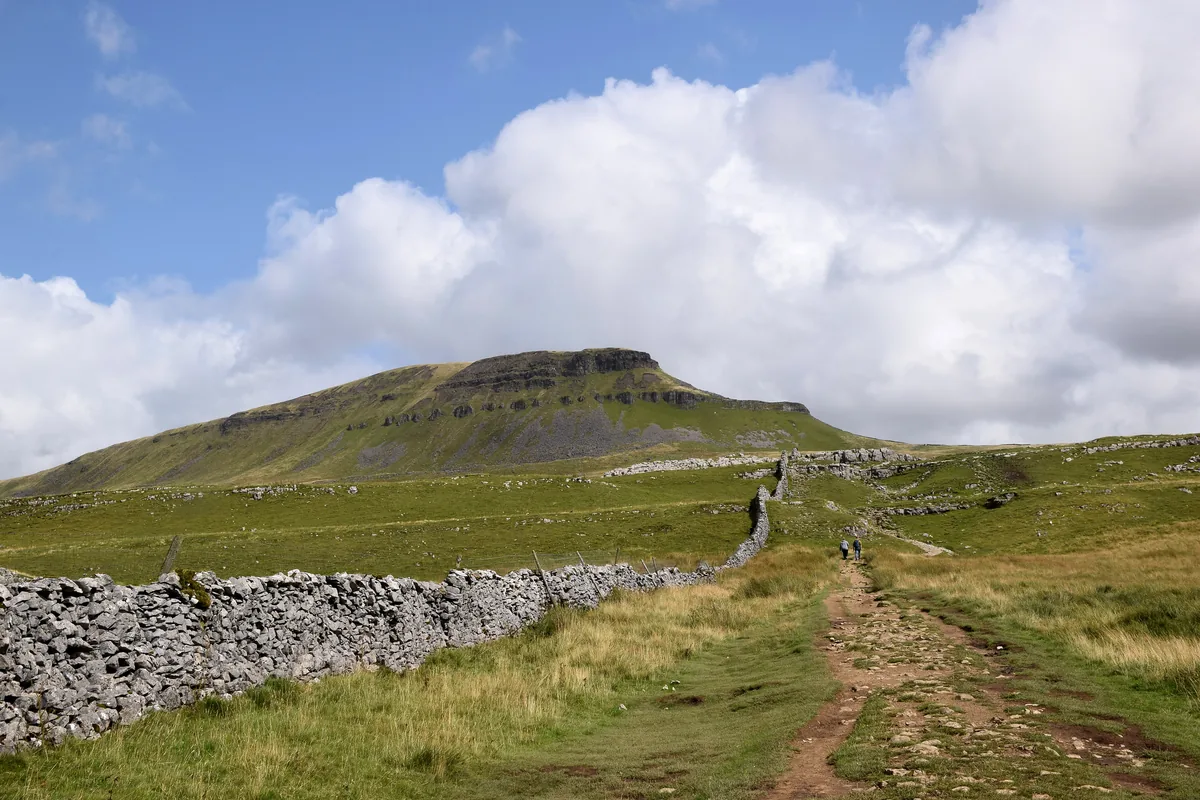 ModeratePen-y-ghent6.6 mi · 3–4½ hrs · 477m
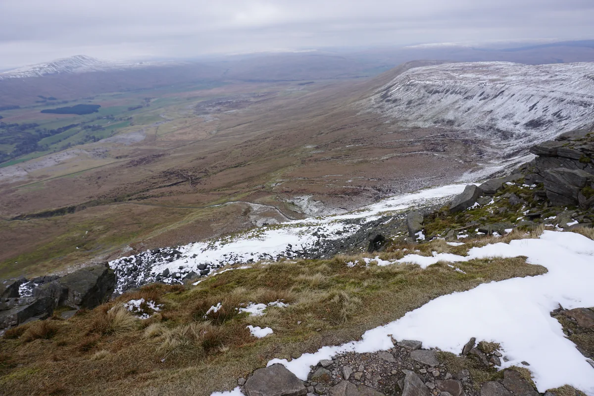 ModerateIngleborough11.3 mi · 5–6 hrs · 707m
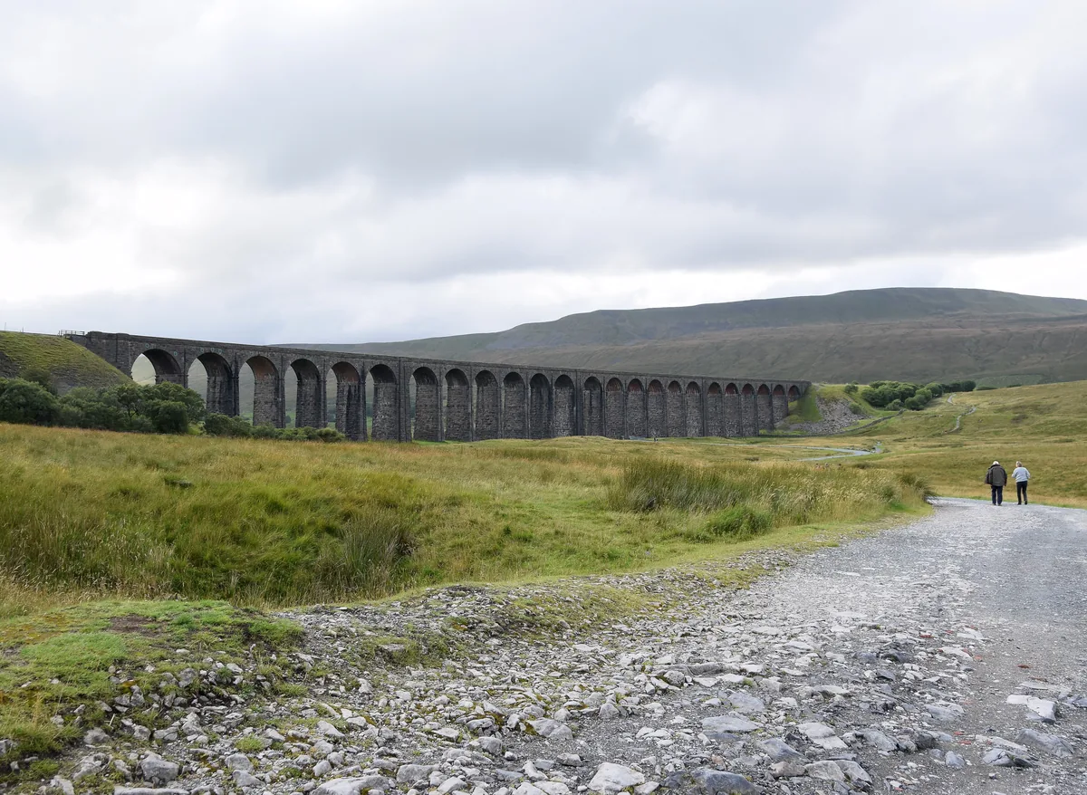 ModerateWhernside8.1 mi · 3–4 hrs · 499m
 HardGreat Shunner Fell & Hardraw Force12.7 mi · 5–7 hrs · 554m
Subscribe for updates on new hikes and National Parks
One email a month with new hikes and routes. No spam.