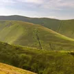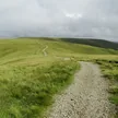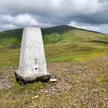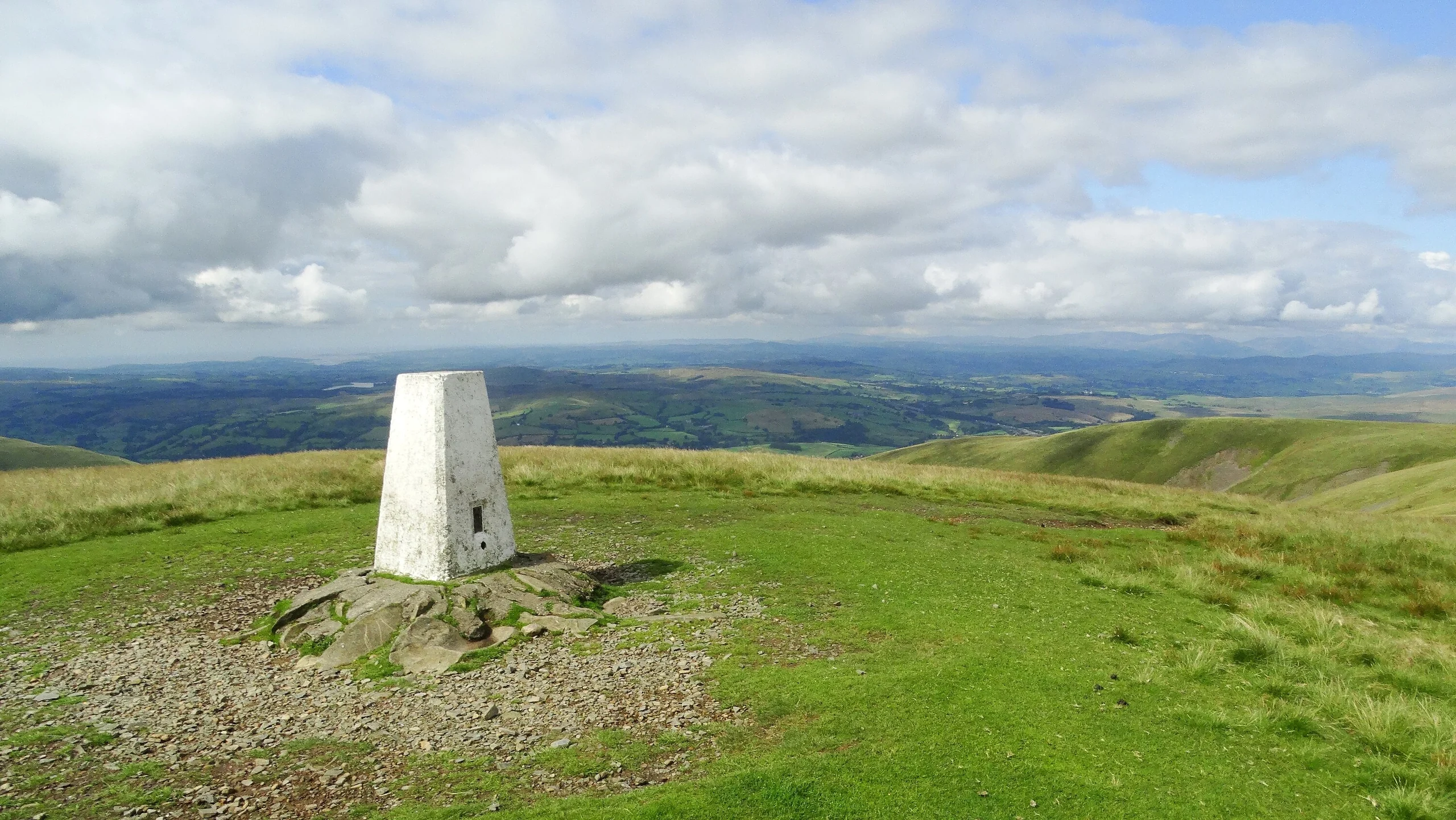

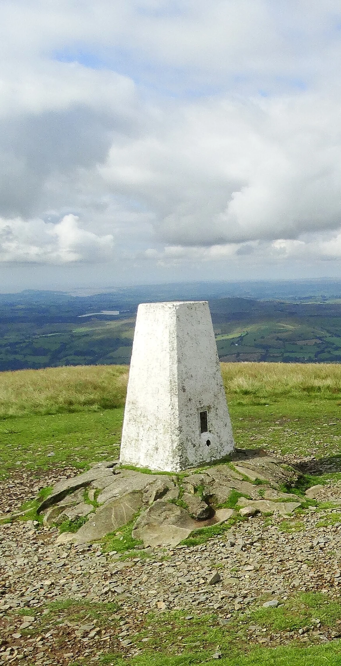


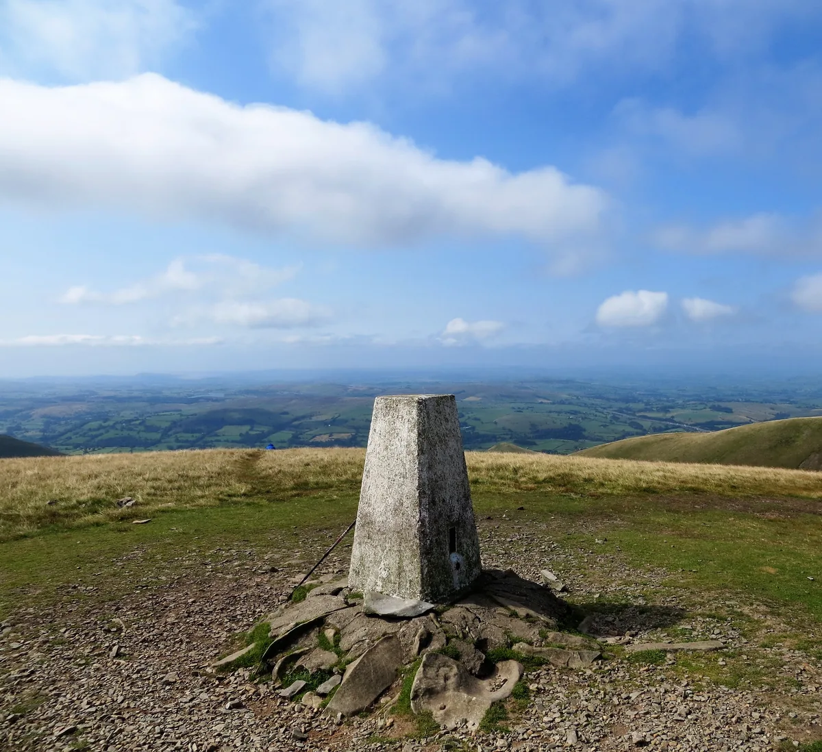
The Calf is the highest point of the Howgill Fells, the rounded, grassy hills between Sedbergh, Ravenstonedale and Tebay that joined the Yorkshire Dales National Park in 2017. A white trig point marks the top, with a small cairn just to the south-east. The summit once sat on the border between the West Riding of Yorkshire and Westmorland.
Small cairn 20 m south-east of trig point
Like the rest of the Howgills, it is built of old Palaeozoic sandstones, siltstones and mudstones rather than the limestone found across most of the Dales.
HewittNuttallMarilynSimm
Summit Weather
Our Route
Also on this route: Calders, Arant Haw, Winder, Bram Rigg Top
Safety: Routes are a guide only. Carry a map and compass and know how to use them, check the weather before you go, and turn back if in doubt. You use this route at your own risk.