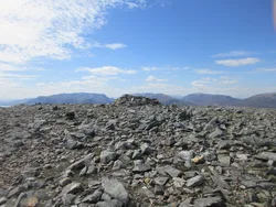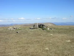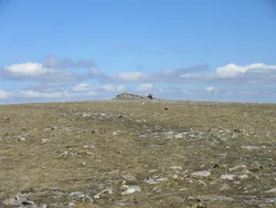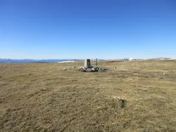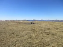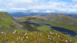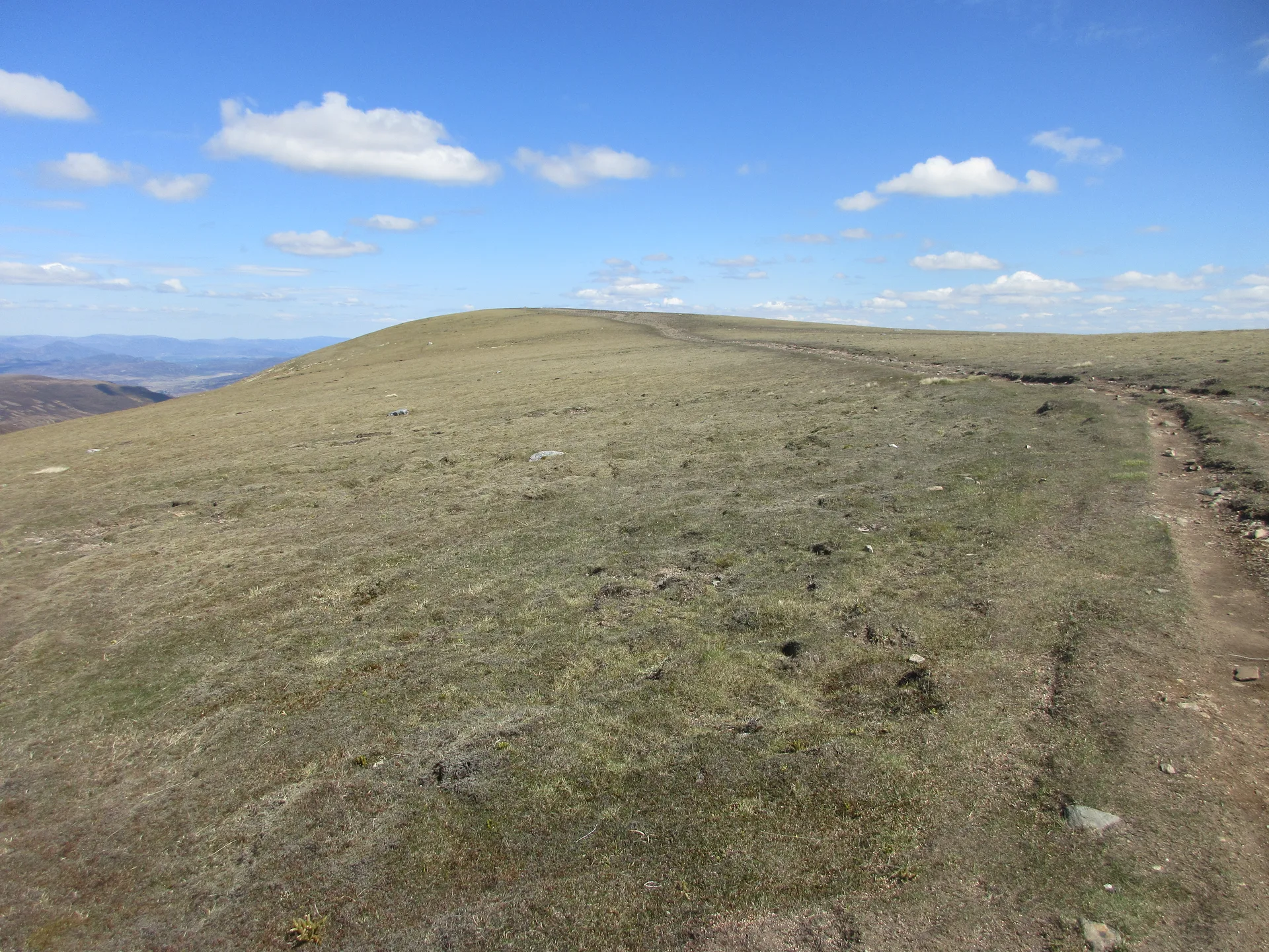


A' Mharconaich is Gaelic for 'the horse place', a name from the days when horses mattered a great deal to the local economy. It's one of the Drumochter hills, and its steep eastern flank is easy to pick out from the A9. The summit ridge runs for just over 1 km, with a small cairn at the high point and a stone wind shelter a little to the north-east. To the north-west you look over Loch Ericht to the Ben Alder massif.
New to the Munros?Read our guide: What Are The Munros?Small cairn and ground to 5 m south-east
Long rounded ridge with steep, rugged eastern flanks and a high corrie below the summit.
HuMPSimm
Summit Weather
Our Route
Also on this route: Geal-charn
Safety: Routes are a guide only. Carry a map and compass and know how to use them, check the weather before you go, and turn back if in doubt. You use this route at your own risk.