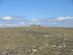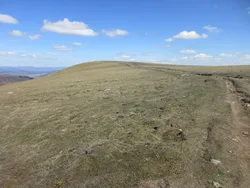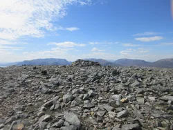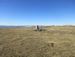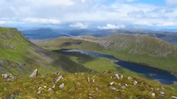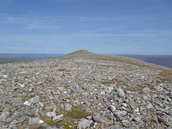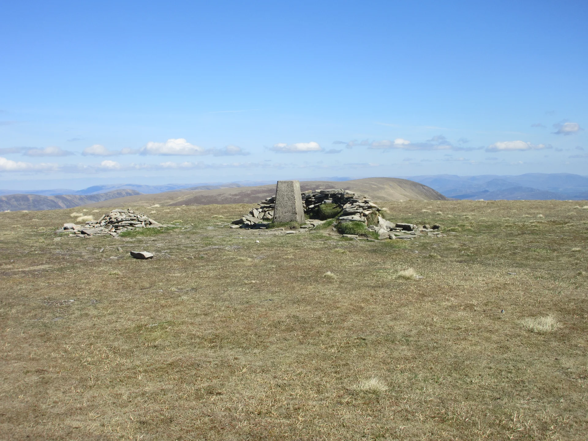


Sgairneach Mhor sits west of the A9 above the Pass of Drumochter, and from the road you can see its rocky north-facing corrie, Coire Creagach, which often holds snow into spring. The name is roughly 'big rocky hillside', after that corrie. The top is a broad plateau where the highest ground is a slight mound, with a trig point and a low stone shelter just beside it, and there's a fine view west to the Ben Alder hills.
New to the Munros?Read our guide: What Are The Munros?Mound
Broad plateau with stony patches on top, heather lower down, and a rocky north-facing corrie.
MarilynSimm
Summit Weather
Our Route
No path for 1 kmAbout 1 km of this route has no path on the map (longest stretch 1 km). Expect rough, pathless ground. You will need a map and compass and the skills to use them.
Also on this route: Beinn Udlamain
Safety: Routes are a guide only. Carry a map and compass and know how to use them, check the weather before you go, and turn back if in doubt. You use this route at your own risk.