

Hill data: The Database of British and Irish Hills v18.6 (CC BY 4.0)Height940.8 m3,087 ft
Grid RefNN 677 821
OS MapOL51 & 394OS Explorer
RegionDrumochter
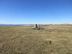
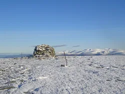
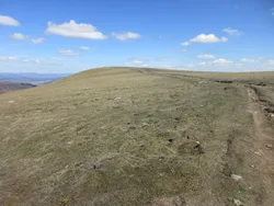
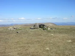
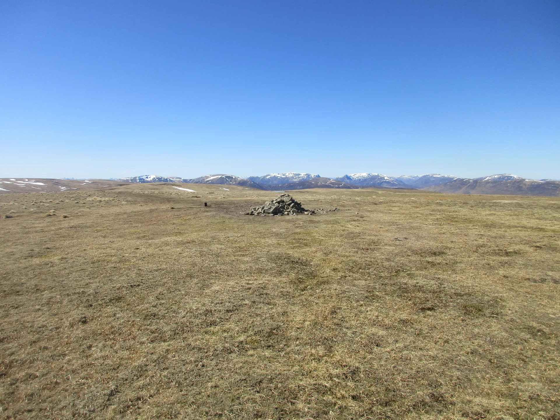
Carn na Caim, the 'cairn of the curve', is the northern of two Munros on the broad, rolling plateau east of the Drumochter Pass. A cairn marks the top, and deep corries cut into the ground to the north. Getting there means crossing soggy, peaty ground, but walkers often find the views from the summit better than they expected.
New to the Munros?Read our guide: What Are The Munros?Summit
Cairn
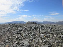
Rock & Ground
High, undulating plateau with peat and bog, and deep corries on the north side.
Also On These Lists
MarilynSimm
Summit Weather
Our Route
Distance8.1 mi13.1 km
Ascent580 m1,900 ft
Time4h 15mwalking
Start & FinishA layby on the A9NN 6398 8240 · circular route
DirectionsSafety: Routes are a guide only. Carry a map and compass and know how to use them, check the weather before you go, and turn back if in doubt. You use this route at your own risk.