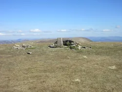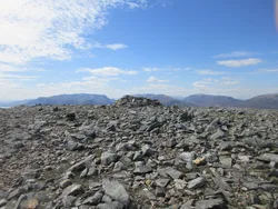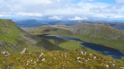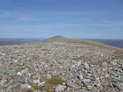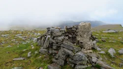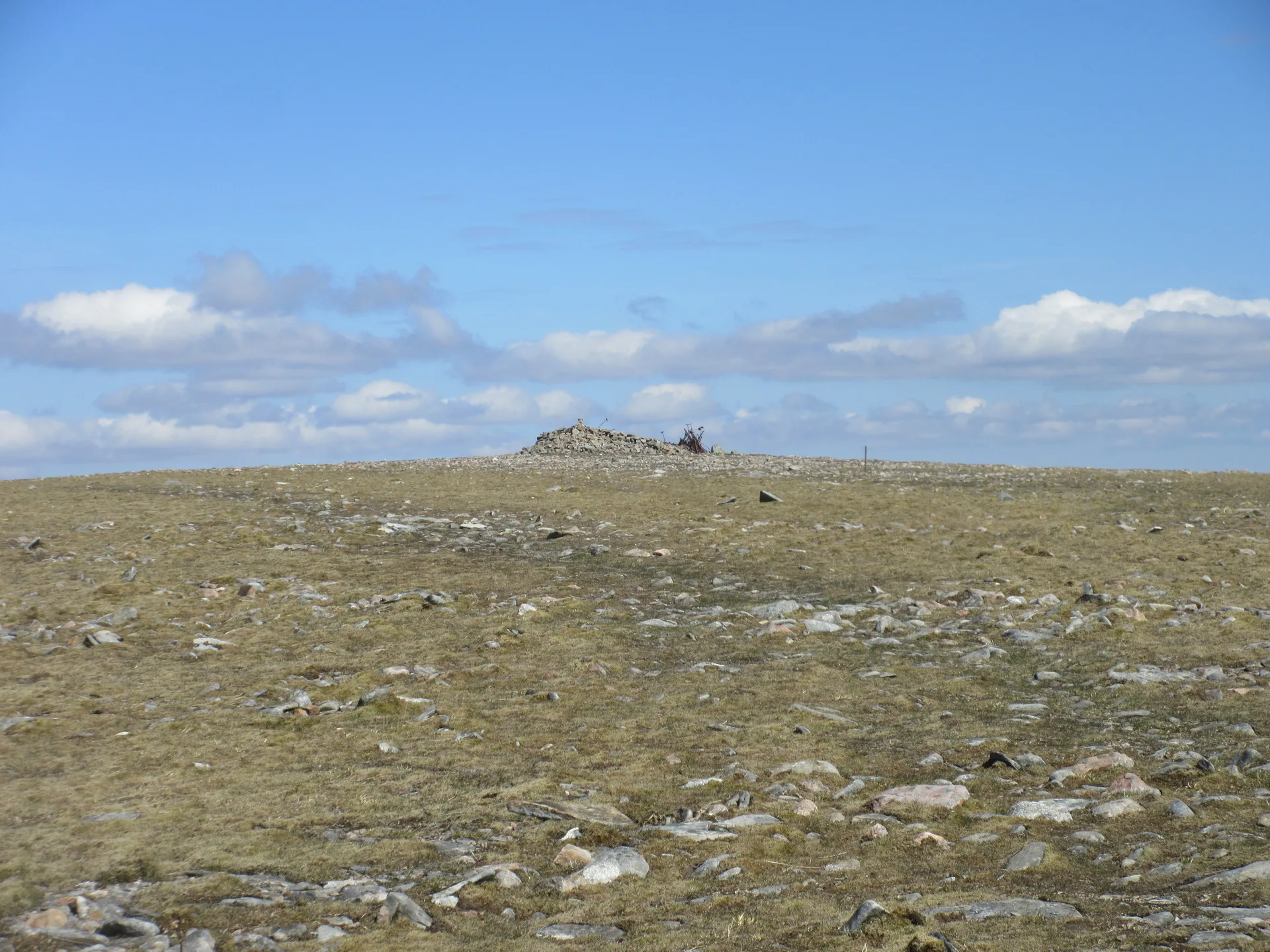


Beinn Udlamain's name is most often translated as 'gloomy mountain', though writers also offer 'hill of the shaking'. It's the highest of the Drumochter hills but mostly hidden from the A9 by its neighbours. A line of old iron fence posts runs over the flat summit ridge, marking the former boundary between Perthshire and Inverness-shire, and the highest ground is at the edge of a large wind shelter. From the top you look south-west down Loch Ericht to the Ben Alder massif.
New to the Munros?Read our guide: What Are The Munros?Ground on west edge of large windshelter
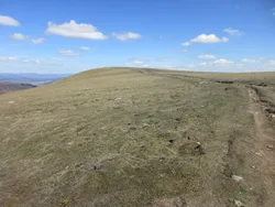
Flat-topped, rolling ridge of grass and heather with very little rock, steepening towards Loch Ericht.
MarilynSimm
Summit Weather
Our Route
No path for 1 kmAbout 1 km of this route has no path on the map (longest stretch 1 km). Expect rough, pathless ground. You will need a map and compass and the skills to use them.
Also on this route: Sgairneach Mhor
Safety: Routes are a guide only. Carry a map and compass and know how to use them, check the weather before you go, and turn back if in doubt. You use this route at your own risk.