

Hill data: The Database of British and Irish Hills v18.6 (CC BY 4.0)Height934 m3,064 ft
Grid RefNG 465 253
OS Map411OS Explorer
RegionSkye & Mull
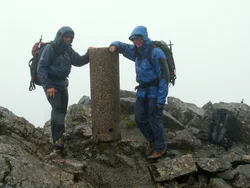
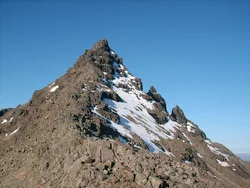
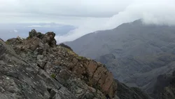
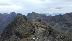
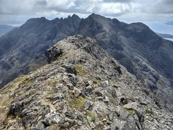
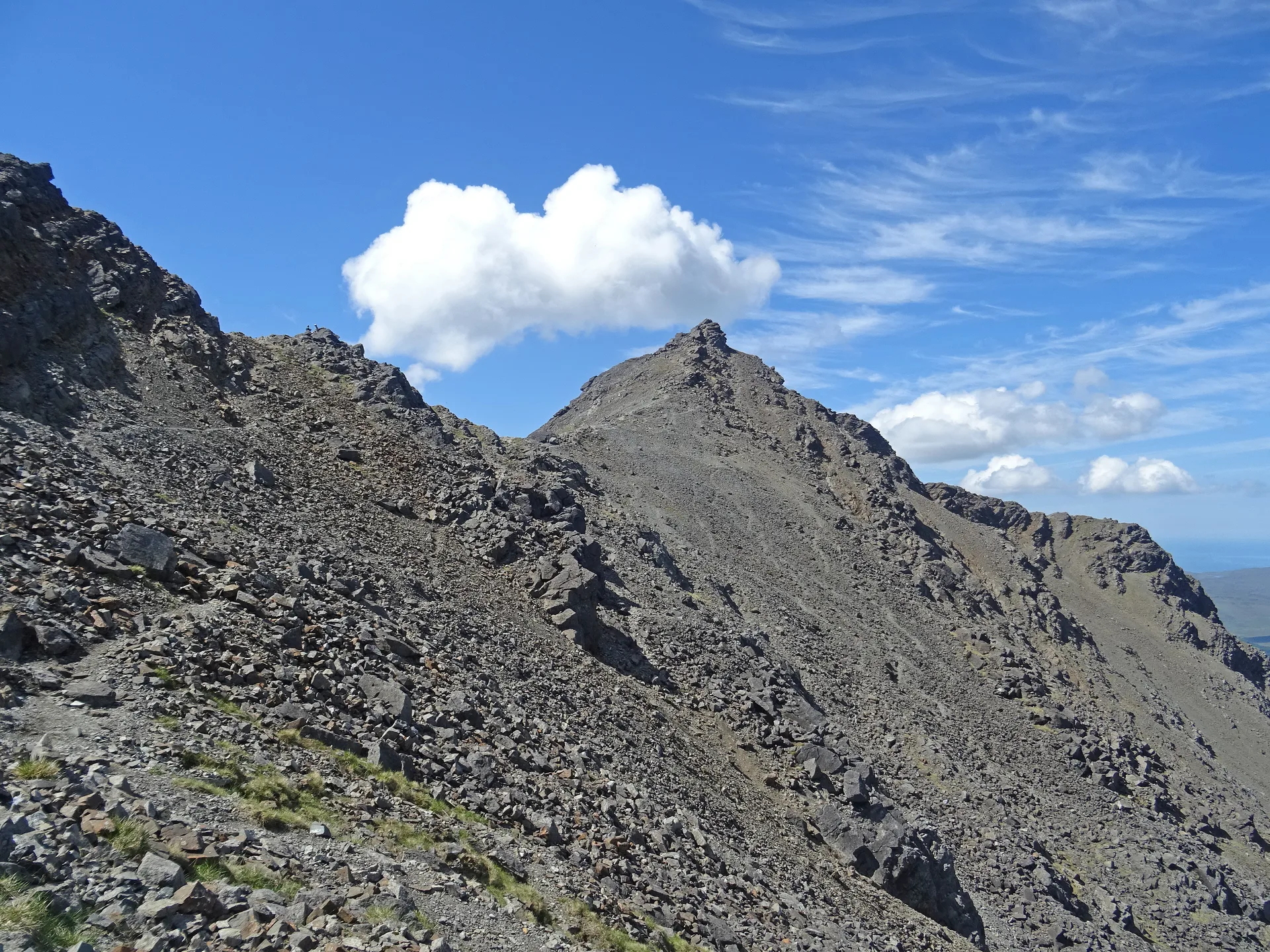
Am Basteir is a narrow blade of rock in the northern Cuillin of Skye, and its name is usually translated as 'the baptiser'. The western end is a vertical wall, with the Basteir Tooth, a big pinnacle, standing at its foot. The usual way up is a scramble along the east ridge to a small summit cairn. Rockfall has changed a 3 m notch near the top, the 'bad step', which now has to be downclimbed, abseiled or avoided on the south face.
New to the Munros?Read our guide: What Are The Munros?Summit
Cairn
Rock & Ground
Narrow, exposed rock blade with a vertical western end and steep scree below.
Also On These Lists
Simm
Summit Weather
Our Route
Distance9.5 mi15.4 km
Ascent970 m3,180 ft
Time5h 25mwalking
Start & FinishFairy Pools ParkingNG 4221 2567 · circular route
DirectionsAlso on this route: Bruach na Frithe
Safety: Routes are a guide only. Carry a map and compass and know how to use them, check the weather before you go, and turn back if in doubt. You use this route at your own risk.