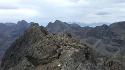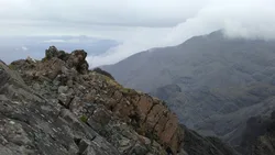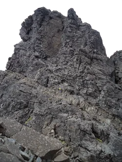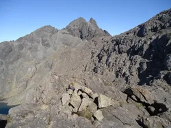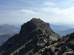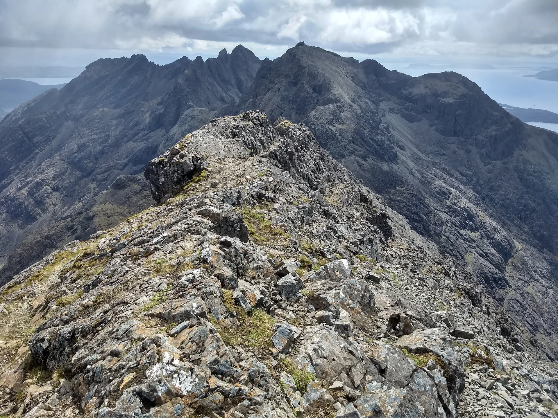


Sgurr na Banachdich is usually translated as 'smallpox peak', a name said to come from the pitted look of the rocks in the corrie beneath it. It stands on the western edge of the Cuillin ridge on Skye, and its south ridge gives scrambling over a string of lesser tops. A cairn marks the summit, and the Inaccessible Pinnacle is just 1 km to the south-east.
New to the Munros?Read our guide: What Are The Munros?Cairn
Gabbro, like the rest of the Black Cuillin, with pitted-looking rocks in the corrie below.
HuMPSimm
Summit Weather
Our Route
No path for 2.4 kmAbout 2.4 km of this route has no path on the map (longest stretch 2.2 km). Expect rough, pathless ground. You will need a map and compass and the skills to use them.
Also on this route: Inaccessible Pinnacle
Safety: Routes are a guide only. Carry a map and compass and know how to use them, check the weather before you go, and turn back if in doubt. You use this route at your own risk.